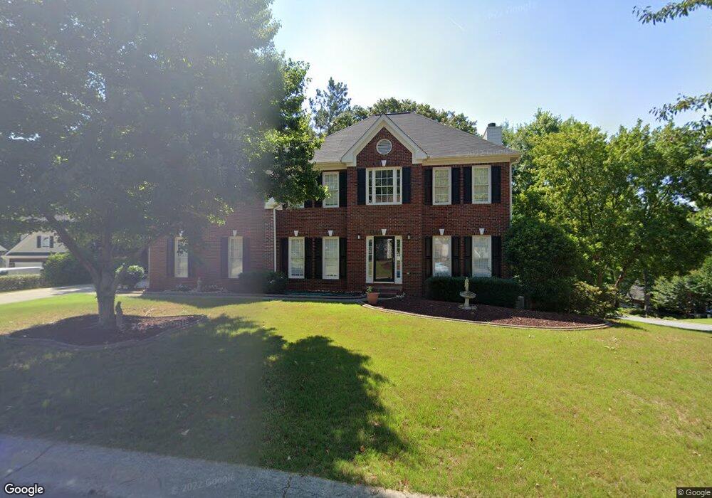
9100 Berkshire Ct Unit B5 Woodstock, GA 30189
Oak Grove NeighborhoodEstimated Value: $512,000 - $555,591
4
Beds
4
Baths
3,282
Sq Ft
$163/Sq Ft
Est. Value
About This Home
This home is located at 9100 Berkshire Ct Unit B5, Woodstock, GA 30189 and is currently estimated at $533,796, approximately $162 per square foot. 9100 Berkshire Ct Unit B5 is a home located in Cherokee County with nearby schools including Bascomb Elementary School, E. T. Booth Middle School, and Etowah High School.
Ownership History
Date
Name
Owned For
Owner Type
Purchase Details
Closed on
Sep 11, 2012
Sold by
Liles Michael S
Bought by
Cammarata-Liles Generva N
Current Estimated Value
Purchase Details
Closed on
Oct 29, 2001
Sold by
Pritchard Brothers Inc
Bought by
Liles Michael S
Home Financials for this Owner
Home Financials are based on the most recent Mortgage that was taken out on this home.
Original Mortgage
$201,150
Interest Rate
6.54%
Mortgage Type
New Conventional
Create a Home Valuation Report for This Property
The Home Valuation Report is an in-depth analysis detailing your home's value as well as a comparison with similar homes in the area
Home Values in the Area
Average Home Value in this Area
Purchase History
| Date | Buyer | Sale Price | Title Company |
|---|---|---|---|
| Cammarata-Liles Generva N | $211,800 | -- | |
| Liles Michael S | $211,300 | -- |
Source: Public Records
Mortgage History
| Date | Status | Borrower | Loan Amount |
|---|---|---|---|
| Previous Owner | Liles Michael S | $201,150 |
Source: Public Records
Tax History Compared to Growth
Tax History
| Year | Tax Paid | Tax Assessment Tax Assessment Total Assessment is a certain percentage of the fair market value that is determined by local assessors to be the total taxable value of land and additions on the property. | Land | Improvement |
|---|---|---|---|---|
| 2024 | $5,455 | $209,920 | $33,600 | $176,320 |
| 2023 | $5,294 | $203,720 | $33,600 | $170,120 |
| 2022 | $4,624 | $175,920 | $29,200 | $146,720 |
| 2021 | $3,982 | $140,280 | $24,000 | $116,280 |
| 2020 | $3,692 | $129,920 | $22,000 | $107,920 |
| 2019 | $3,400 | $119,640 | $20,000 | $99,640 |
| 2018 | $3,355 | $117,360 | $18,400 | $98,960 |
| 2017 | $3,258 | $282,700 | $20,000 | $93,080 |
| 2016 | $2,833 | $243,300 | $19,200 | $78,120 |
| 2015 | $2,646 | $225,000 | $12,920 | $77,080 |
| 2014 | $2,511 | $213,100 | $12,920 | $72,320 |
Source: Public Records
Map
Nearby Homes
- 1028 Deer Hollow Dr
- 507 Huntgate Rd
- 7119 Big Woods Dr
- 7307 Carriage Creek Rd
- 1001 Deer Hollow Dr
- 2006 Hawthorne Way
- 146 Sunset Ln
- 104 Rose Cottage Ln Unit 65
- 4004 Sussex Ct
- 1704 Amberwood Pointe
- 112 Countryside Ct
- 313 Maltibe Dr
- 306 N Briar Ridge
- 703 Watch Harbor Ln
- 1801 Summerview Ct Unit 1
- 234 Ascott Ln
- 4005 Watkins Glen Dr
- 0 Berkshire Ct Unit 7474415
- 0 Berkshire Ct Unit 8839477
- 0 Berkshire Ct Unit 8620356
- 9007 Mallory Ln
- 0 Mallory Ln Unit 7374031
- 0 Mallory Ln Unit 7210218
- 0 Mallory Ln Unit 7288921
- 0 Mallory Ln Unit 3288779
- 0 Mallory Ln Unit 3214482
- 0 Mallory Ln Unit 8565994
- 0 Mallory Ln Unit 3221096
- 0 Mallory Ln
- 9102 Berkshire Ct
- 9101 Berkshire Ct
- 9009 Mallory Ln
- 9103 Berkshire Ct
- 9004 Mallory Ln
- 9002 Mallory Ln
- 9105 Berkshire Ct
- 9104 Berkshire Ct