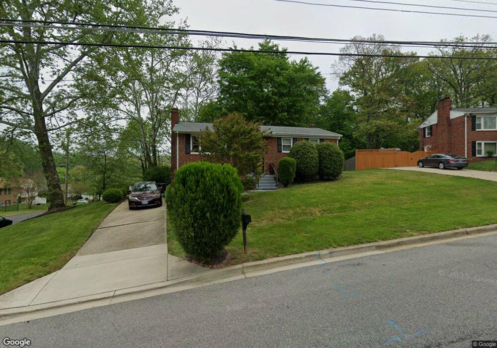
9100 Doris Dr Fort Washington, MD 20744
Estimated Value: $331,961 - $433,000
--
Bed
2
Baths
1,100
Sq Ft
$363/Sq Ft
Est. Value
About This Home
This home is located at 9100 Doris Dr, Fort Washington, MD 20744 and is currently estimated at $398,990, approximately $362 per square foot. 9100 Doris Dr is a home located in Prince George's County with nearby schools including Tayac Elementary School, Friendly High School, and The Messiah Academy.
Ownership History
Date
Name
Owned For
Owner Type
Purchase Details
Closed on
Aug 2, 1995
Sold by
Kilpatrick Andrew
Bought by
Perrow Pauline D
Current Estimated Value
Home Financials for this Owner
Home Financials are based on the most recent Mortgage that was taken out on this home.
Original Mortgage
$133,754
Interest Rate
7.48%
Purchase Details
Closed on
Feb 22, 1978
Sold by
Jessie Eddie J
Bought by
Kilpatrick Andrew and Kilpatrick Marian
Create a Home Valuation Report for This Property
The Home Valuation Report is an in-depth analysis detailing your home's value as well as a comparison with similar homes in the area
Home Values in the Area
Average Home Value in this Area
Purchase History
| Date | Buyer | Sale Price | Title Company |
|---|---|---|---|
| Perrow Pauline D | $133,500 | -- | |
| Kilpatrick Andrew | $48,000 | -- |
Source: Public Records
Mortgage History
| Date | Status | Borrower | Loan Amount |
|---|---|---|---|
| Closed | Perrow Pauline D | $133,754 |
Source: Public Records
Tax History Compared to Growth
Tax History
| Year | Tax Paid | Tax Assessment Tax Assessment Total Assessment is a certain percentage of the fair market value that is determined by local assessors to be the total taxable value of land and additions on the property. | Land | Improvement |
|---|---|---|---|---|
| 2025 | $4,001 | $322,933 | -- | -- |
| 2024 | $4,001 | $307,200 | $101,300 | $205,900 |
| 2023 | $3,856 | $290,233 | $0 | $0 |
| 2022 | $3,039 | $273,267 | $0 | $0 |
| 2021 | $3,501 | $256,300 | $100,600 | $155,700 |
| 2020 | $6,815 | $240,900 | $0 | $0 |
| 2019 | $3,229 | $225,500 | $0 | $0 |
| 2018 | $3,133 | $210,100 | $75,600 | $134,500 |
| 2017 | $3,098 | $202,367 | $0 | $0 |
| 2016 | -- | $194,633 | $0 | $0 |
| 2015 | $2,948 | $186,900 | $0 | $0 |
| 2014 | $2,948 | $186,900 | $0 | $0 |
Source: Public Records
Map
Nearby Homes
- 9012 Doris Dr
- 2409 Mary Place
- 2804 Testway Ave
- 9202 Pinehurst Dr
- 2201 Monticello Ct
- 9410 Dashia Dr
- 2714 Rose Valley Dr
- 3105 Calydon Ct
- 3004 Alderton Ave
- 9604 Jacqueline Dr
- 3019 Brodkin Ave
- 9702 Underwood Dr
- 9600 Caltor Ln
- 0 Allentown Rd Unit MDPG2162754
- 0 Allentown Rd Unit MDPG2161340
- 8515 Allentown Rd
- 3407 Wayneswood Rd
- 1906 Thistlewood Dr
- 10125 Allentown Rd
- 3316 Marston Dr