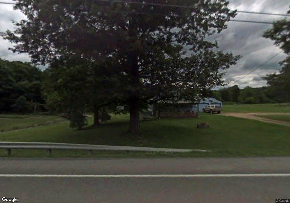
9100 Route 28 Brockway, PA 15824
Estimated Value: $122,000 - $134,000
--
Bed
--
Bath
672
Sq Ft
$192/Sq Ft
Est. Value
About This Home
This home is located at 9100 Route 28, Brockway, PA 15824 and is currently estimated at $129,128, approximately $192 per square foot. 9100 Route 28 is a home located in Jefferson County with nearby schools including Northside Elementary School, Pinecreek Elementary School, and Hickory Grove Elementary School.
Ownership History
Date
Name
Owned For
Owner Type
Purchase Details
Closed on
Feb 2, 2024
Sold by
Williams Tina L
Bought by
Sankey Thomas
Current Estimated Value
Home Financials for this Owner
Home Financials are based on the most recent Mortgage that was taken out on this home.
Original Mortgage
$121,500
Outstanding Balance
$119,353
Interest Rate
6.61%
Mortgage Type
New Conventional
Estimated Equity
$9,775
Create a Home Valuation Report for This Property
The Home Valuation Report is an in-depth analysis detailing your home's value as well as a comparison with similar homes in the area
Home Values in the Area
Average Home Value in this Area
Purchase History
| Date | Buyer | Sale Price | Title Company |
|---|---|---|---|
| Sankey Thomas | $135,000 | Key Settlement Services |
Source: Public Records
Mortgage History
| Date | Status | Borrower | Loan Amount |
|---|---|---|---|
| Open | Sankey Thomas | $121,500 |
Source: Public Records
Tax History Compared to Growth
Tax History
| Year | Tax Paid | Tax Assessment Tax Assessment Total Assessment is a certain percentage of the fair market value that is determined by local assessors to be the total taxable value of land and additions on the property. | Land | Improvement |
|---|---|---|---|---|
| 2025 | $879 | $18,270 | $4,000 | $14,270 |
| 2024 | $861 | $18,270 | $4,000 | $14,270 |
| 2023 | $856 | $18,270 | $4,000 | $14,270 |
| 2022 | $856 | $18,270 | $4,000 | $14,270 |
| 2021 | $840 | $18,270 | $4,000 | $14,270 |
| 2020 | $840 | $18,270 | $4,000 | $14,270 |
| 2019 | $831 | $18,270 | $4,000 | $14,270 |
| 2018 | $812 | $18,270 | $4,000 | $14,270 |
| 2017 | $794 | $18,270 | $4,000 | $14,270 |
| 2016 | $772 | $18,270 | $4,000 | $14,270 |
| 2015 | -- | $18,270 | $4,000 | $14,270 |
| 2012 | -- | $18,270 | $4,000 | $14,270 |
Source: Public Records
Map
Nearby Homes
- 10217 Pennsylvania 28
- 2278 Egypt Rd
- 0 Coal Glen Rd
- 1144 Shaffer Rd
- 725 Russel Rd
- 4908 Pennsylvania 28
- 5546 Stevenson Hill Rd
- 584 Mcclelland Rd
- 19 Salandra Ln
- 00 Pennsylvania 830
- 765 Laurel Run Rd
- 3539 Stevenson Hill Rd
- 4000 Sulgar Rd
- 737 Crooked Pine Trail
- 3243 Stevenson Hill Rd
- 559 Buskirk Rd
- 23682 Pennsylvania 949
- 1074 10th Ave
- 502 Cameron Camp Rd
- 405 Butler Cemetery Rd