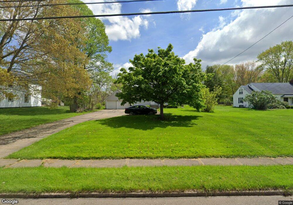
9104 N Main St Windham, OH 44288
Estimated Value: $175,136 - $189,000
4
Beds
2
Baths
2,160
Sq Ft
$83/Sq Ft
Est. Value
About This Home
This home is located at 9104 N Main St, Windham, OH 44288 and is currently estimated at $180,034, approximately $83 per square foot. 9104 N Main St is a home located in Portage County with nearby schools including Katherine Thomas Elementary School, Windham Junior High School, and Windham High School.
Ownership History
Date
Name
Owned For
Owner Type
Purchase Details
Closed on
Mar 10, 2021
Sold by
Mann Sherry J and Minter Cheryl J
Bought by
Cumberledge Matthew and Cumberledge Theresa
Current Estimated Value
Purchase Details
Closed on
Feb 10, 2021
Sold by
Abel Eileen M
Bought by
Sherry J Mann and Cheryl J Minter
Purchase Details
Closed on
Jan 3, 2007
Sold by
Archon Michael and Archon Wanda
Bought by
Archon Michael and Archon Wanda
Purchase Details
Closed on
May 5, 2003
Sold by
Estate Of Blanton C Abel
Bought by
Abel Eileen M
Purchase Details
Closed on
Jan 1, 1990
Bought by
Abel Blanton C
Create a Home Valuation Report for This Property
The Home Valuation Report is an in-depth analysis detailing your home's value as well as a comparison with similar homes in the area
Home Values in the Area
Average Home Value in this Area
Purchase History
| Date | Buyer | Sale Price | Title Company |
|---|---|---|---|
| Cumberledge Matthew | $70,000 | None Available | |
| Sherry J Mann | -- | -- | |
| Archon Michael | -- | Attorney | |
| Abel Eileen M | -- | -- | |
| Abel Blanton C | -- | -- |
Source: Public Records
Tax History Compared to Growth
Tax History
| Year | Tax Paid | Tax Assessment Tax Assessment Total Assessment is a certain percentage of the fair market value that is determined by local assessors to be the total taxable value of land and additions on the property. | Land | Improvement |
|---|---|---|---|---|
| 2024 | $2,448 | $58,310 | $5,810 | $52,500 |
| 2023 | $2,123 | $44,910 | $5,150 | $39,760 |
| 2022 | $2,030 | $44,910 | $5,150 | $39,760 |
| 2021 | $1,614 | $44,910 | $5,150 | $39,760 |
| 2020 | $1,162 | $33,190 | $3,960 | $29,230 |
| 2019 | $1,191 | $33,190 | $3,960 | $29,230 |
| 2018 | $1,171 | $32,940 | $4,660 | $28,280 |
| 2017 | $1,171 | $32,940 | $4,660 | $28,280 |
| 2016 | $1,161 | $32,940 | $4,660 | $28,280 |
| 2015 | $1,161 | $32,940 | $4,660 | $28,280 |
| 2014 | $1,237 | $34,450 | $4,660 | $29,790 |
| 2013 | $1,223 | $34,450 | $4,660 | $29,790 |
Source: Public Records
Map
Nearby Homes
- 9137 Maple Grove Rd
- 9598 Greenmeadow Rd
- 8935 S Main St
- 9008 Wilverne Dr
- 9102 Store Dr
- 9250 Bryant Rd
- 9278 Bryant Rd
- 9626 Windham Parkman Rd
- 0 Bryant Rd
- 0 Bryant & Sr 82
- V/L Parkman Rd
- 10168 Stanley Rd
- 10376 Brosius Rd Unit 25
- 7795 Ohio 303
- 7761 Ohio 303
- 5177 Nelson Mosier Rd
- 847 State Route 534 NW
- 0 Ohio 82
- 8540 Riverview Dr
- 10966 Brosius Rd
- 9094 N Main St
- 9116 N Main St
- Lot 56 Main St
- 9097 N Main St
- 9097 N Main St Unit 1 & 2
- 9502 Community Rd
- 9506 Community Rd
- 9506 & 9490 Community Rd
- 9496 Community Rd
- 9082 N Main St
- 9490 Community Rd
- 9159 Maple Grove Rd
- 9512 Community Rd
- 9077 N Main St
- 9070 N Main St
- 9514-9516 Community Rd
- 9511 Community Rd
- 9058 N Main St
- 9538 Cloverleaf Rd
- 9518 Community Rd