910426 S 3500 Rd Chandler, OK 74834
Estimated Value: $82,000 - $260,000
3
Beds
1
Bath
1,685
Sq Ft
$103/Sq Ft
Est. Value
About This Home
This home is located at 910426 S 3500 Rd, Chandler, OK 74834 and is currently estimated at $174,394, approximately $103 per square foot. 910426 S 3500 Rd is a home located in Lincoln County with nearby schools including Davenport Elementary School and Davenport High School.
Ownership History
Date
Name
Owned For
Owner Type
Purchase Details
Closed on
Aug 26, 2021
Sold by
Richardson Billy Don and Richardson Judith Ann
Bought by
Richardson Billy Don and Richardson Judith Ann
Current Estimated Value
Purchase Details
Closed on
Sep 13, 2014
Sold by
Ford Robert H and Ford Juanita Gerldean
Bought by
Clark James W and Clark Abra
Purchase Details
Closed on
Apr 11, 2011
Sold by
Richardson Para Lee
Bought by
Cummings Alfred L and Cummings Debra C
Home Financials for this Owner
Home Financials are based on the most recent Mortgage that was taken out on this home.
Original Mortgage
$42,039
Interest Rate
4.98%
Mortgage Type
Future Advance Clause Open End Mortgage
Purchase Details
Closed on
Jan 31, 1989
Sold by
A T & S F Rr Co
Bought by
Richardson Bob and Para Lee
Purchase Details
Closed on
Jan 5, 1982
Sold by
Simon Marvin R and Simon Mary
Bought by
Richardson Bob and Para Lee
Create a Home Valuation Report for This Property
The Home Valuation Report is an in-depth analysis detailing your home's value as well as a comparison with similar homes in the area
Home Values in the Area
Average Home Value in this Area
Purchase History
| Date | Buyer | Sale Price | Title Company |
|---|---|---|---|
| Richardson Billy Don | -- | None Available | |
| Clark James W | $90,000 | None Listed On Document | |
| Cummings Alfred L | $30,000 | None Available | |
| Richardson Bob | $1,000 | -- | |
| Richardson Bob | $30,000 | -- |
Source: Public Records
Mortgage History
| Date | Status | Borrower | Loan Amount |
|---|---|---|---|
| Previous Owner | Cummings Alfred L | $42,039 |
Source: Public Records
Tax History Compared to Growth
Tax History
| Year | Tax Paid | Tax Assessment Tax Assessment Total Assessment is a certain percentage of the fair market value that is determined by local assessors to be the total taxable value of land and additions on the property. | Land | Improvement |
|---|---|---|---|---|
| 2024 | $442 | $5,551 | $296 | $5,255 |
| 2023 | $442 | $12,264 | $296 | $11,968 |
| 2022 | $267 | $3,731 | $296 | $3,435 |
| 2021 | $243 | $3,623 | $296 | $3,327 |
| 2020 | $241 | $3,623 | $296 | $3,327 |
| 2019 | $248 | $3,623 | $296 | $3,327 |
| 2018 | $242 | $3,623 | $296 | $3,327 |
| 2017 | $244 | $3,584 | $296 | $3,288 |
| 2016 | $247 | $3,584 | $296 | $3,288 |
| 2015 | $224 | $3,584 | $296 | $3,288 |
| 2014 | $237 | $3,584 | $296 | $3,288 |
Source: Public Records
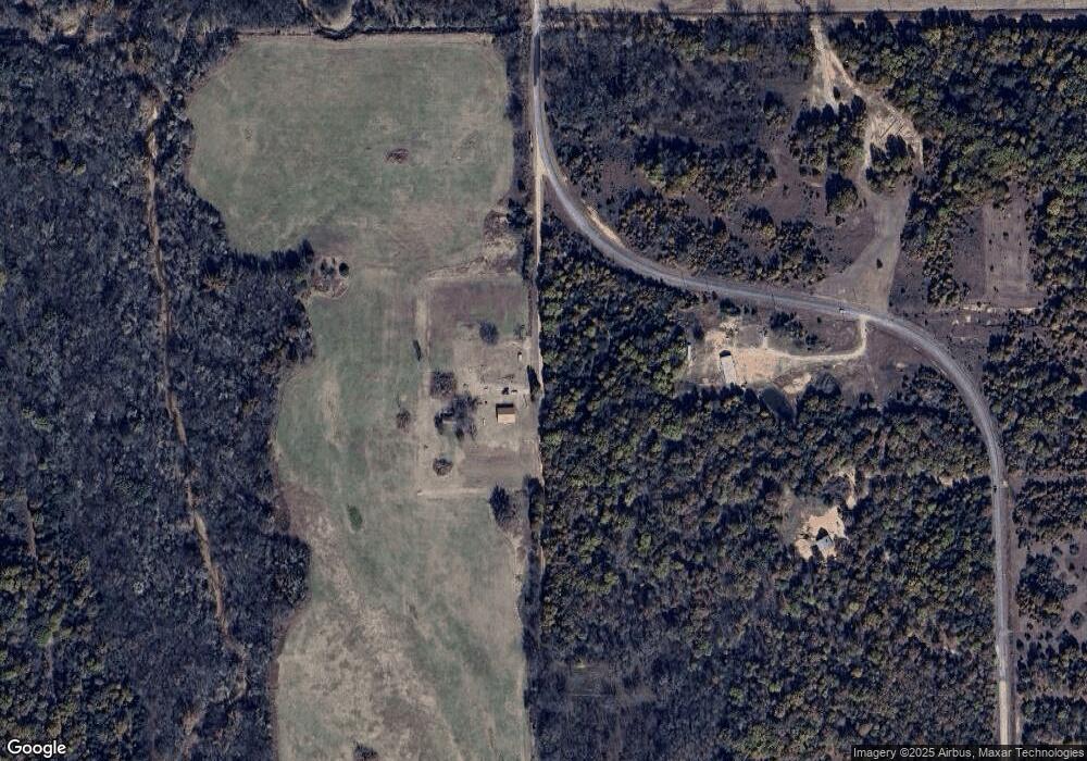
Map
Nearby Homes
- 910518 3500 Rd
- 910518 S 3500 Rd
- 910146 S 3500 Rd
- 910076 S 3500 Rd
- 350061 E 910 Rd
- 349956 E 920 Rd
- 345305 E Indian Trail Rd
- 345068 E Indian Trail Rd
- 350278 E 920 Rd
- 910415 S 3510 Rd
- 201 Gaylord Dr
- 143 Concord Ave
- 132 S Mccracken Ave
- 349358 E 910 Rd
- 110 Lightning Ln
- 309 Forbis Ave
- 115 S Mccracken Ave
- 137 Lightning Ln
- 136 Lightning Ln
- 115 S Broadway Ave