9107 Pilchuck Tree Farm Rd Granite Falls, WA 98252
Estimated Value: $621,803 - $685,000
1
Bed
1
Bath
1,103
Sq Ft
$588/Sq Ft
Est. Value
About This Home
This home is located at 9107 Pilchuck Tree Farm Rd, Granite Falls, WA 98252 and is currently estimated at $648,451, approximately $587 per square foot. 9107 Pilchuck Tree Farm Rd is a home with nearby schools including Mountain Way Elementary School, Granite Falls Middle School, and Granite Falls High School.
Ownership History
Date
Name
Owned For
Owner Type
Purchase Details
Closed on
Jan 25, 2018
Sold by
Larsen Warren Scott
Bought by
Flicknger Corbin
Current Estimated Value
Purchase Details
Closed on
Aug 21, 2015
Sold by
Larsen Warren Scott
Bought by
Snohomish County
Purchase Details
Closed on
Apr 14, 2015
Sold by
Mcinnis John W and Sievers Sharon
Bought by
Larsen Warren Scott
Home Financials for this Owner
Home Financials are based on the most recent Mortgage that was taken out on this home.
Original Mortgage
$250,000
Interest Rate
3.7%
Mortgage Type
Purchase Money Mortgage
Purchase Details
Closed on
Mar 18, 2004
Sold by
The Estate Of Doris Mcinnis
Bought by
Mcinnis John S and Q T I P Trust Of Doris Mcinnis
Create a Home Valuation Report for This Property
The Home Valuation Report is an in-depth analysis detailing your home's value as well as a comparison with similar homes in the area
Home Values in the Area
Average Home Value in this Area
Purchase History
| Date | Buyer | Sale Price | Title Company |
|---|---|---|---|
| Flicknger Corbin | $400,000 | Chicago Title | |
| Snohomish County | $46,600 | None Available | |
| Larsen Warren Scott | $102,500 | First American | |
| Mcinnis John S | -- | -- |
Source: Public Records
Mortgage History
| Date | Status | Borrower | Loan Amount |
|---|---|---|---|
| Previous Owner | Larsen Warren Scott | $250,000 |
Source: Public Records
Tax History Compared to Growth
Tax History
| Year | Tax Paid | Tax Assessment Tax Assessment Total Assessment is a certain percentage of the fair market value that is determined by local assessors to be the total taxable value of land and additions on the property. | Land | Improvement |
|---|---|---|---|---|
| 2025 | $4,857 | $568,300 | $314,500 | $253,800 |
| 2024 | $4,857 | $547,600 | $293,500 | $254,100 |
| 2023 | $4,768 | $578,100 | $323,800 | $254,300 |
| 2022 | $4,509 | $444,700 | $238,000 | $206,700 |
| 2020 | $4,513 | $376,900 | $188,000 | $188,900 |
| 2019 | $3,940 | $348,300 | $168,000 | $180,300 |
| 2018 | $4,168 | $317,100 | $146,200 | $170,900 |
| 2017 | $3,286 | $251,500 | $75,200 | $176,300 |
| 2016 | $574 | $41,600 | $41,600 | $0 |
| 2015 | $689 | $46,600 | $46,600 | $0 |
| 2013 | -- | $32,600 | $32,600 | $0 |
Source: Public Records
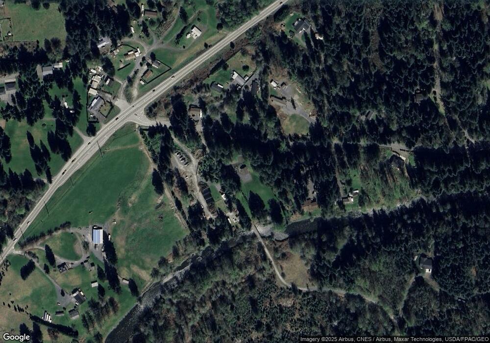
Map
Nearby Homes
- 10327 174th Ave NE
- 9128 184th Ave NE
- 9402 Ray Gray Rd Unit A
- 419 Penny Ave
- 8824 184th Ave NE
- 10222 174th Ave NE
- 177 XXX Crooked Mile Rd
- 17704 Maple St
- 10401 Suncrest Blvd
- 17906 80th St NE
- 17916 Maple St
- 17712 Mill Valley Rd
- 17803 Mill Valley Rd
- 901 W Stanley St
- 8304 160th Dr NE
- 114 Tompkins Place
- 17922 78th St NE
- 201 W Stanley St
- 307 Portage Ave
- 17616 72nd St NE
- 17210 Crooked Mile Rd
- 17406 Crooked Mile Rd
- 17409 Crooked Mile Rd
- 17223 Crooked Mile Rd
- 17504 Crooked Mile Rd
- 17505 Crooked Mile Rd
- 17210 Washington 92
- 17496 Crooked Mile Rd
- 17129 Washington 92
- 17129 State Route 92
- 17231 State Route 92
- 17608 Crooked Mile Rd
- 17103 State Route 92
- 9009 State Route 92
- 17110 State Route 92
- 17105 State Route 92
- 17119 State Route 92
- 17119 State Route 92
- 17111 State Route 92
- 9120 177th Ave NE