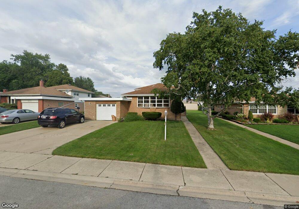
9109 Belleforte Ave Morton Grove, IL 60053
Estimated Value: $435,000 - $474,000
3
Beds
2
Baths
1,235
Sq Ft
$371/Sq Ft
Est. Value
About This Home
This home is located at 9109 Belleforte Ave, Morton Grove, IL 60053 and is currently estimated at $457,910, approximately $370 per square foot. 9109 Belleforte Ave is a home located in Cook County with nearby schools including Hynes Elementary School, Golf Middle School, and Niles North High School.
Ownership History
Date
Name
Owned For
Owner Type
Purchase Details
Closed on
May 26, 1999
Sold by
Ferstl Lois E
Bought by
Reichert Richard R and Reichert Catherine M
Current Estimated Value
Home Financials for this Owner
Home Financials are based on the most recent Mortgage that was taken out on this home.
Original Mortgage
$162,000
Outstanding Balance
$42,338
Interest Rate
6.94%
Estimated Equity
$415,572
Create a Home Valuation Report for This Property
The Home Valuation Report is an in-depth analysis detailing your home's value as well as a comparison with similar homes in the area
Home Values in the Area
Average Home Value in this Area
Purchase History
| Date | Buyer | Sale Price | Title Company |
|---|---|---|---|
| Reichert Richard R | $227,000 | -- |
Source: Public Records
Mortgage History
| Date | Status | Borrower | Loan Amount |
|---|---|---|---|
| Open | Reichert Richard R | $162,000 |
Source: Public Records
Tax History Compared to Growth
Tax History
| Year | Tax Paid | Tax Assessment Tax Assessment Total Assessment is a certain percentage of the fair market value that is determined by local assessors to be the total taxable value of land and additions on the property. | Land | Improvement |
|---|---|---|---|---|
| 2024 | $8,891 | $36,000 | $11,700 | $24,300 |
| 2023 | $8,467 | $36,000 | $11,700 | $24,300 |
| 2022 | $8,467 | $36,000 | $11,700 | $24,300 |
| 2021 | $7,633 | $29,107 | $7,200 | $21,907 |
| 2020 | $7,563 | $29,107 | $7,200 | $21,907 |
| 2019 | $7,648 | $32,705 | $7,200 | $25,505 |
| 2018 | $7,203 | $28,200 | $6,525 | $21,675 |
| 2017 | $7,247 | $28,200 | $6,525 | $21,675 |
| 2016 | $7,097 | $28,200 | $6,525 | $21,675 |
| 2015 | $6,450 | $23,928 | $5,625 | $18,303 |
| 2014 | $6,342 | $23,928 | $5,625 | $18,303 |
| 2013 | $6,215 | $23,928 | $5,625 | $18,303 |
Source: Public Records
Map
Nearby Homes
- 7014 Church St
- 8927 Belleforte Ave
- 7207 Church St
- 6727 Beckwith Rd
- 7215 Beckwith Rd
- 6909 Beckwith Rd
- 9244 Newcastle Ave
- 7215 Lyons St
- 7332 Davis St
- 7303 Ponto Dr
- 7302 Ponto Dr
- 9421 Sayre Ave
- 7343 Lake St
- 9400 Octavia Ave
- 7030 Foster St
- 6712 Maple St
- 6638 Hazel St
- 7446 Lake St
- 8929 Cherry Ave
- 8661 N National Ave
- 9113 Belleforte Ave
- 9105 Belleforte Ave
- 9117 Belleforte Ave
- 9106 National Ave
- 9110 National Ave
- 9102 National Ave
- 9114 National Ave
- 9127 Belleforte Ave
- 9118 National Ave
- 9100 National Ave
- 9106 Belleforte Ave
- 9110 Belleforte Ave
- 9131 Belleforte Ave
- 9114 Belleforte Ave
- 9126 National Ave
- 9118 Belleforte Ave
- 9135 Belleforte Ave
- 9130 National Ave
- 9126 Belleforte Ave
- 9130 Belleforte Ave