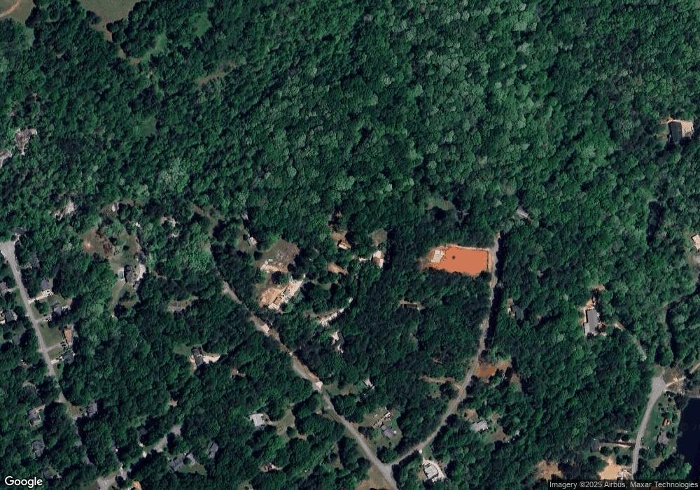
911 Brookside Dr Winder, GA 30680
Estimated Value: $332,218 - $352,000
2
Beds
2
Baths
1,890
Sq Ft
$181/Sq Ft
Est. Value
About This Home
This home is located at 911 Brookside Dr, Winder, GA 30680 and is currently estimated at $341,805, approximately $180 per square foot. 911 Brookside Dr is a home located in Barrow County with nearby schools including Bramlett Elementary School, Russell Middle School, and Winder-Barrow High School.
Ownership History
Date
Name
Owned For
Owner Type
Purchase Details
Closed on
Jan 3, 2007
Sold by
Crawford Orvie B
Bought by
Mashburn Billy J
Current Estimated Value
Home Financials for this Owner
Home Financials are based on the most recent Mortgage that was taken out on this home.
Original Mortgage
$120,000
Outstanding Balance
$70,172
Interest Rate
6.1%
Mortgage Type
New Conventional
Estimated Equity
$271,633
Create a Home Valuation Report for This Property
The Home Valuation Report is an in-depth analysis detailing your home's value as well as a comparison with similar homes in the area
Home Values in the Area
Average Home Value in this Area
Purchase History
| Date | Buyer | Sale Price | Title Company |
|---|---|---|---|
| Mashburn Billy J | $150,000 | -- |
Source: Public Records
Mortgage History
| Date | Status | Borrower | Loan Amount |
|---|---|---|---|
| Open | Mashburn Billy J | $120,000 | |
| Closed | Mashburn Billy J | $30,000 |
Source: Public Records
Tax History Compared to Growth
Tax History
| Year | Tax Paid | Tax Assessment Tax Assessment Total Assessment is a certain percentage of the fair market value that is determined by local assessors to be the total taxable value of land and additions on the property. | Land | Improvement |
|---|---|---|---|---|
| 2025 | $617 | $84,279 | $29,565 | $54,714 |
| 2024 | $602 | $82,893 | $29,565 | $53,328 |
| 2023 | $426 | $82,893 | $29,565 | $53,328 |
| 2022 | $584 | $68,005 | $29,565 | $38,440 |
| 2021 | $1,596 | $58,791 | $23,652 | $35,139 |
| 2020 | $1,322 | $47,029 | $14,760 | $32,269 |
| 2019 | $1,343 | $47,029 | $14,760 | $32,269 |
| 2018 | $1,321 | $47,029 | $14,760 | $32,269 |
| 2017 | $1,251 | $42,965 | $14,760 | $28,205 |
| 2016 | $1,183 | $42,965 | $14,760 | $28,205 |
| 2015 | $1,188 | $42,965 | $14,760 | $28,205 |
| 2014 | $964 | $35,437 | $7,232 | $28,205 |
| 2013 | -- | $33,712 | $7,232 | $26,480 |
Source: Public Records
Map
Nearby Homes
- 852 Georgetown Dr
- 817 Brookside Dr
- 1072 Jim Johnson Rd
- 1000 Jim Johnson Rd
- 1303 Windstone Ct
- 1557 Shadowstone Cir
- 2858 Shadowstone Way
- 1224 Treemont Trace
- 321 Bear Way
- 234 Pecks Ct
- 803 Lazy Ln
- 203 Bear Way
- 198 Bear Way
- 1136 Lexington Ridge Rd
- 28 Florence Ln
- 113 Pecks Ct
- 168 Warrior Ct
- 222 Loon Lake Way
- 290 Conway Trail
- 158 Warrior Ct
- 904 Westwood Ln
- 912 Westwood Ln
- 920 Westwood Ln
- 893 Brookside Dr
- 917 Brookside Dr
- 888 Westwood Ln
- 907 Westwood Ln
- 881 Brookside Dr
- 891 Westwood Ln
- 883 Westwood Ln
- 906 Brookside Dr
- 914 Brookside Dr
- 879 Westwood Ln Unit 29
- 879 Westwood Ln
- 864 Brookside Dr
- 864 Knollwood Dr
- 884 Brookside Dr
- 859 Governors Ln Unit 3
- 860 Governors Ln
- 920 Brookside Dr
