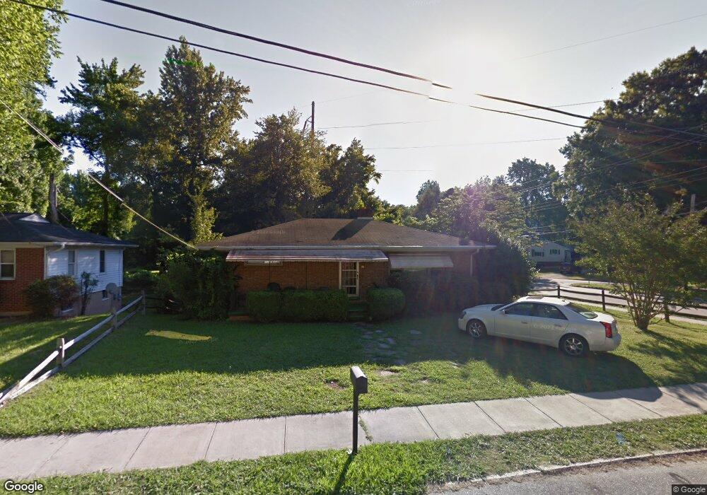
911 Circle Dr High Point, NC 27262
Greater High Point NeighborhoodEstimated Value: $202,331 - $263,000
4
Beds
3
Baths
2,400
Sq Ft
$97/Sq Ft
Est. Value
About This Home
This home is located at 911 Circle Dr, High Point, NC 27262 and is currently estimated at $233,833, approximately $97 per square foot. 911 Circle Dr is a home located in Guilford County with nearby schools including Kirkman Park Elementary School, Penn-Griffin School for the Arts, and T.W. Andrews High School.
Ownership History
Date
Name
Owned For
Owner Type
Purchase Details
Closed on
May 21, 2009
Sold by
Federal National Mortgage Association
Bought by
Hughes James Michael and Hughes Lori S
Current Estimated Value
Home Financials for this Owner
Home Financials are based on the most recent Mortgage that was taken out on this home.
Original Mortgage
$36,500
Interest Rate
4.81%
Mortgage Type
Purchase Money Mortgage
Create a Home Valuation Report for This Property
The Home Valuation Report is an in-depth analysis detailing your home's value as well as a comparison with similar homes in the area
Home Values in the Area
Average Home Value in this Area
Purchase History
| Date | Buyer | Sale Price | Title Company |
|---|---|---|---|
| Hughes James Michael | -- | None Available |
Source: Public Records
Mortgage History
| Date | Status | Borrower | Loan Amount |
|---|---|---|---|
| Closed | Hughes James Michael | $36,500 |
Source: Public Records
Tax History
| Year | Tax Paid | Tax Assessment Tax Assessment Total Assessment is a certain percentage of the fair market value that is determined by local assessors to be the total taxable value of land and additions on the property. | Land | Improvement |
|---|---|---|---|---|
| 2025 | $1,338 | $97,100 | $22,000 | $75,100 |
| 2024 | $1,338 | $97,100 | $22,000 | $75,100 |
| 2023 | $1,338 | $97,100 | $22,000 | $75,100 |
| 2022 | $1,309 | $97,100 | $22,000 | $75,100 |
| 2021 | $858 | $62,300 | $10,000 | $52,300 |
| 2020 | $858 | $62,300 | $10,000 | $52,300 |
| 2019 | $858 | $62,300 | $0 | $0 |
| 2018 | $854 | $62,300 | $0 | $0 |
| 2017 | $858 | $62,300 | $0 | $0 |
| 2016 | $771 | $55,000 | $0 | $0 |
| 2015 | $776 | $55,000 | $0 | $0 |
| 2014 | $789 | $55,000 | $0 | $0 |
Source: Public Records
Map
Nearby Homes
- 828 Circle Dr
- 1012 Meadowbrook Blvd
- 1120 Carolina St
- 1519 Mcguinn Dr
- 1445 Bailey Cir
- 1508 Boundary Ave
- 1308 Boundary Ave
- 1602 Boundary Ave
- 1604 Boundary Ave
- 1604 E Lexington Ave
- 1606 Boundary Ave
- 2209 Gable Way
- 1509 & 1511 Wiltshire St
- 1402 Darden St
- 837 Willow Place
- 844 Willow Place
- 2507 Suffolk Ave
- 1702 Brockett Ave
- 1707 Brockett Ave
- 205 Beach St
- 909 Circle Dr
- 907 Circle Dr
- 1029 Montlieu Ave
- 1118 Meadowbrook Blvd
- 1040 Montlieu Ave
- 905 Circle Dr
- 1043 Montlieu Ave
- 1116 Meadowbrook Blvd
- 1027 Montlieu Ave
- 1042 Montlieu Ave
- 903 Circle Dr
- 906 Circle Dr
- 903 Circle Dr
- 1030 Montlieu Ave
- 1112 Meadowbrook Blvd
- 1025 Montlieu Ave
- 836 Circle Dr
- 1110 Meadowbrook Blvd
- 1023 Montlieu Ave
- 617 Radford St
Your Personal Tour Guide
Ask me questions while you tour the home.