911 Great Island Rd West Yarmouth, MA 02673
West Yarmouth NeighborhoodEstimated Value: $1,817,000 - $7,685,867
3
Beds
3
Baths
1,809
Sq Ft
$2,627/Sq Ft
Est. Value
About This Home
This home is located at 911 Great Island Rd, West Yarmouth, MA 02673 and is currently estimated at $4,751,434, approximately $2,626 per square foot. 911 Great Island Rd is a home located in Barnstable County with nearby schools including Dennis-Yarmouth Regional High School.
Ownership History
Date
Name
Owned For
Owner Type
Purchase Details
Closed on
Dec 21, 2012
Sold by
Awad Dewey
Bought by
Dewey J Awad Irt
Current Estimated Value
Purchase Details
Closed on
Jan 4, 2007
Sold by
Gi 14 Rt
Bought by
Awad Dewey and Awad Margaret
Home Financials for this Owner
Home Financials are based on the most recent Mortgage that was taken out on this home.
Original Mortgage
$3,000,000
Interest Rate
6.24%
Mortgage Type
Purchase Money Mortgage
Create a Home Valuation Report for This Property
The Home Valuation Report is an in-depth analysis detailing your home's value as well as a comparison with similar homes in the area
Home Values in the Area
Average Home Value in this Area
Purchase History
| Date | Buyer | Sale Price | Title Company |
|---|---|---|---|
| Dewey J Awad Irt | -- | -- | |
| Awad Dewey | $4,575,000 | -- |
Source: Public Records
Mortgage History
| Date | Status | Borrower | Loan Amount |
|---|---|---|---|
| Previous Owner | Awad Dewey | $3,000,000 |
Source: Public Records
Tax History Compared to Growth
Tax History
| Year | Tax Paid | Tax Assessment Tax Assessment Total Assessment is a certain percentage of the fair market value that is determined by local assessors to be the total taxable value of land and additions on the property. | Land | Improvement |
|---|---|---|---|---|
| 2025 | $64,456 | $9,103,900 | $4,776,500 | $4,327,400 |
| 2024 | $61,982 | $8,398,700 | $4,169,600 | $4,229,100 |
| 2023 | $57,079 | $7,038,100 | $3,658,500 | $3,379,600 |
| 2022 | $60,565 | $6,597,500 | $3,331,400 | $3,266,100 |
| 2021 | $58,273 | $6,095,500 | $3,331,400 | $2,764,100 |
| 2020 | $54,492 | $5,449,200 | $3,370,900 | $2,078,300 |
| 2019 | $9,334 | $5,449,200 | $3,370,900 | $2,078,300 |
| 2018 | $56,072 | $5,449,200 | $3,370,900 | $2,078,300 |
| 2017 | $8,979 | $5,449,200 | $3,370,900 | $2,078,300 |
| 2016 | $47,845 | $4,794,100 | $3,241,300 | $1,552,800 |
| 2015 | $48,837 | $4,864,200 | $3,241,300 | $1,622,900 |
Source: Public Records
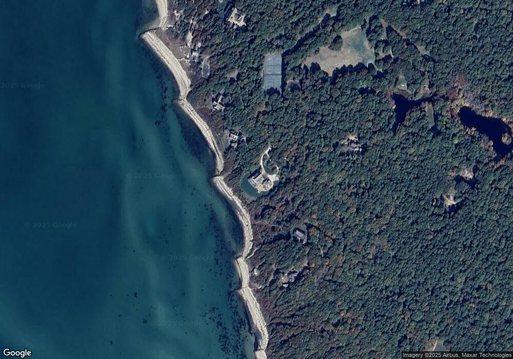
Map
Nearby Homes
- 500 Ocean St Unit 147
- 500 Ocean St Unit 152
- 10 Mark Way
- 20 Stanley Place
- 230 Gosnold St Unit 11A-11B-11C
- 230 Gosnold St Unit 11ABC
- 281 Gosnold St
- 342 Sea St
- 151 & 155 Irving Ave
- 381 Ocean St Unit 1
- 155 Irving Ave
- 16 Iyanough Rd
- 49 Snow Creek Dr
- 172 Irving Ave
- 18 Rachel Rd
- 21 & 23 Glenwood St
- 25 Ripple Cove Rd
- 33 Hedge Row
- 90 Broadway St Unit 92
- 921 Great Island Rd
- 887 Great Island Rd
- 935 Great Island Rd
- 883 Great Island Rd
- 875 Great Island Rd
- 949 Great Island Rd
- 920 Great Island Rd
- 963 Great Island Rd
- 955 Great Island Rd
- 865 Great Island Rd
- 971 Great Island Rd
- 831 Great Island Rd
- 979 Great Island Rd
- 1214 Great Island Rd
- 1186 Great Island Rd
- 44 Chapel Rd
- 1170 Great Island Rd
- 31 Uncle Roberts Rd
- 1100 Great Island Rd
- 1100 Great Island Rd