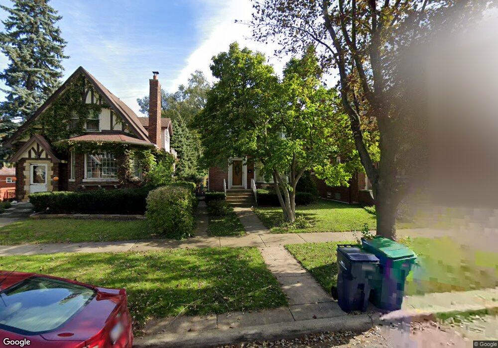
911 Manchester Ave Westchester, IL 60154
Estimated Value: $316,000 - $349,932
4
Beds
2
Baths
1,568
Sq Ft
$211/Sq Ft
Est. Value
About This Home
This home is located at 911 Manchester Ave, Westchester, IL 60154 and is currently estimated at $330,233, approximately $210 per square foot. 911 Manchester Ave is a home located in Cook County with nearby schools including Westchester Primary School, Westchester Intermediate School, and Westchester Middle School.
Ownership History
Date
Name
Owned For
Owner Type
Purchase Details
Closed on
Aug 12, 1997
Sold by
Hinz Dennis E and Hinz Linda A
Bought by
Gray Chester
Current Estimated Value
Home Financials for this Owner
Home Financials are based on the most recent Mortgage that was taken out on this home.
Original Mortgage
$110,400
Outstanding Balance
$16,402
Interest Rate
7.44%
Estimated Equity
$313,831
Create a Home Valuation Report for This Property
The Home Valuation Report is an in-depth analysis detailing your home's value as well as a comparison with similar homes in the area
Home Values in the Area
Average Home Value in this Area
Purchase History
| Date | Buyer | Sale Price | Title Company |
|---|---|---|---|
| Gray Chester | $92,000 | -- |
Source: Public Records
Mortgage History
| Date | Status | Borrower | Loan Amount |
|---|---|---|---|
| Open | Gray Chester | $110,400 |
Source: Public Records
Tax History Compared to Growth
Tax History
| Year | Tax Paid | Tax Assessment Tax Assessment Total Assessment is a certain percentage of the fair market value that is determined by local assessors to be the total taxable value of land and additions on the property. | Land | Improvement |
|---|---|---|---|---|
| 2024 | $5,257 | $26,000 | $2,756 | $23,244 |
| 2023 | $2,876 | $26,000 | $2,756 | $23,244 |
| 2022 | $2,876 | $20,284 | $2,426 | $17,858 |
| 2021 | $2,711 | $20,283 | $2,425 | $17,858 |
| 2020 | $2,467 | $20,283 | $2,425 | $17,858 |
| 2019 | $2,670 | $18,904 | $2,205 | $16,699 |
| 2018 | $2,640 | $18,904 | $2,205 | $16,699 |
| 2017 | $5,169 | $18,904 | $2,205 | $16,699 |
| 2016 | $3,492 | $16,253 | $1,984 | $14,269 |
| 2015 | $5,124 | $17,799 | $1,984 | $15,815 |
| 2014 | $5,006 | $17,799 | $1,984 | $15,815 |
| 2013 | $4,848 | $19,286 | $1,984 | $17,302 |
Source: Public Records
Map
Nearby Homes
- 923 Manchester Ave
- 805 Norfolk Ave
- 750 Bristol Ave
- 814 Norfolk Ave
- 920 Suffolk Ave
- 626 Manchester Ave
- 1119 Newcastle Ave
- 1016 Hull Ave
- 1108 31st Ave
- 10072 Drury Ln
- 1102 31st Ave
- 1034 31st Ave
- 2003 S 24th Ave
- 723 Balmoral Ave
- 1022 Eastern Ave
- 1023 Rice Ave
- 1035 Bohland Ave
- 1136 Park Place
- 1910 S 22nd Ave
- 1433 Bristol Ave
- 915 Manchester Ave
- 909 Manchester Ave
- 923 Manchester Ave
- 921 Manchester Ave
- 901 Manchester Ave
- 925 Manchester Ave
- 914 Bristol Ave
- 908 Bristol Ave
- 918 Bristol Ave
- 900 Bristol Ave
- 929 Manchester Ave
- 924 Bristol Ave
- 912 Manchester Ave
- 908 Manchester Ave
- 918 Manchester Ave
- 904 Manchester Ave
- 825 Manchester Ave
- 902 Manchester Ave
- 928 Bristol Ave
- 924 Manchester Ave