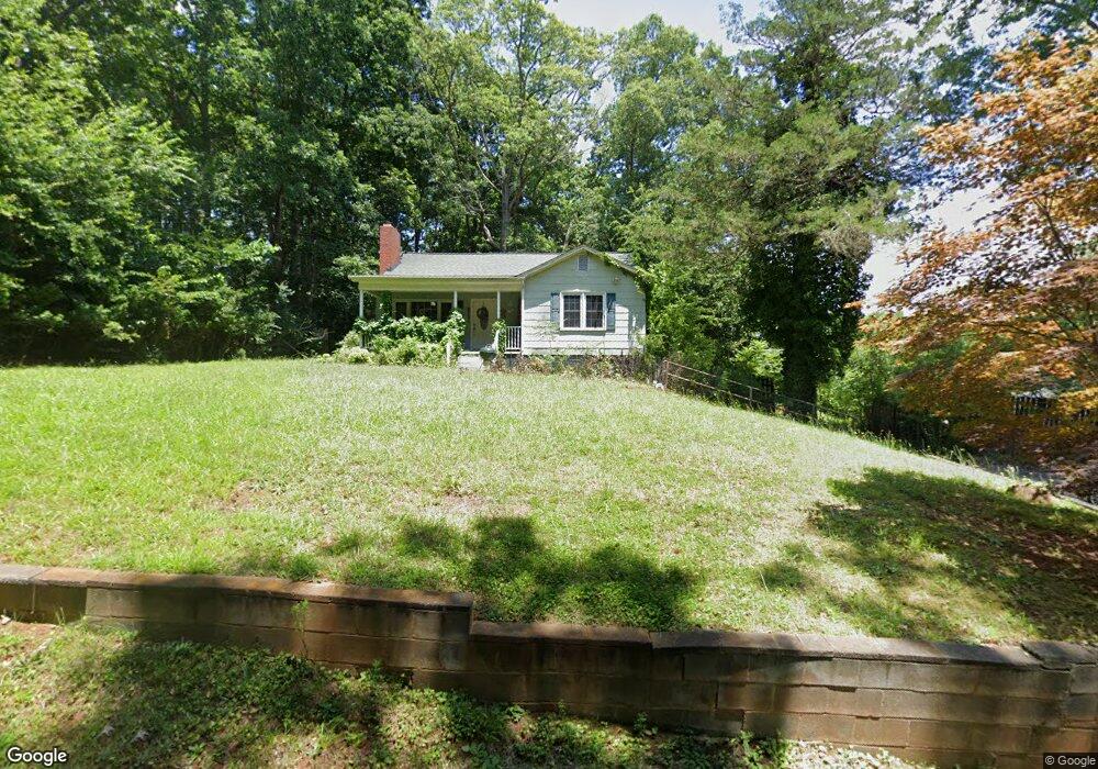
911 Meadowbrook Ln Shelby, NC 28150
Estimated Value: $167,000 - $279,000
2
Beds
1
Bath
1,351
Sq Ft
$163/Sq Ft
Est. Value
About This Home
This home is located at 911 Meadowbrook Ln, Shelby, NC 28150 and is currently estimated at $219,822, approximately $162 per square foot. 911 Meadowbrook Ln is a home located in Cleveland County with nearby schools including Jefferson Elementary School, Shelby Middle School, and Shelby High School.
Ownership History
Date
Name
Owned For
Owner Type
Purchase Details
Closed on
Jul 31, 2014
Sold by
Moss Doris G
Bought by
Anthony Adam Reid
Current Estimated Value
Purchase Details
Closed on
Apr 16, 2013
Sold by
Wright Juanita Green and Wright Gerald W
Bought by
Anthony Adam Reid
Home Financials for this Owner
Home Financials are based on the most recent Mortgage that was taken out on this home.
Original Mortgage
$81,632
Interest Rate
3.52%
Mortgage Type
New Conventional
Create a Home Valuation Report for This Property
The Home Valuation Report is an in-depth analysis detailing your home's value as well as a comparison with similar homes in the area
Home Values in the Area
Average Home Value in this Area
Purchase History
| Date | Buyer | Sale Price | Title Company |
|---|---|---|---|
| Anthony Adam Reid | -- | Investors Title Ins Co | |
| Anthony Adam Reid | $80,000 | None Available |
Source: Public Records
Mortgage History
| Date | Status | Borrower | Loan Amount |
|---|---|---|---|
| Previous Owner | Anthony Adam Reid | $81,632 |
Source: Public Records
Tax History Compared to Growth
Tax History
| Year | Tax Paid | Tax Assessment Tax Assessment Total Assessment is a certain percentage of the fair market value that is determined by local assessors to be the total taxable value of land and additions on the property. | Land | Improvement |
|---|---|---|---|---|
| 2025 | $1,583 | $145,947 | $30,771 | $115,176 |
| 2024 | $1,377 | $96,829 | $30,771 | $66,058 |
| 2023 | $1,380 | $96,829 | $30,771 | $66,058 |
| 2022 | $1,418 | $96,829 | $30,771 | $66,058 |
| 2021 | $1,221 | $96,829 | $30,771 | $66,058 |
| 2020 | $1,041 | $82,040 | $30,771 | $51,269 |
| 2019 | $1,041 | $82,040 | $30,771 | $51,269 |
| 2018 | $1,040 | $82,040 | $30,771 | $51,269 |
| 2017 | $1,014 | $82,040 | $30,771 | $51,269 |
| 2016 | $1,017 | $82,040 | $30,771 | $51,269 |
| 2015 | $1,127 | $95,992 | $30,771 | $65,221 |
| 2014 | $1,127 | $95,992 | $30,771 | $65,221 |
Source: Public Records
Map
Nearby Homes
- 407 Robinwood Dr
- 505 Richards Dr
- 507 Richards Dr
- 401 Williamsfield Dr
- 1 Peach St
- 500 Yorkfield
- 504 Johnsfield Rd
- 310 S Poston St
- 1410 Deborah Cir
- 411 Country Club Rd
- 1544 Kings Rd
- 110 Columns Cir
- 1521 Kings Rd
- 1329 Kings Cir
- 409 Forest Hill Dr
- 930 Elizabeth Rd
- 304 Belvedere Ave
- 1320 Kings Cir
- 324 Beaumonde Ave
- 830 Cabaniss Dr
- 909 Meadowbrook Ln
- 408 Robinwood Dr
- 406 Robinwood Dr
- 501 Richards Dr
- 404 Robinwood Dr
- 910 Meadowbrook Ln
- 1000 Meadowbrook Ln
- 905 Meadowbrook Ln
- 912 Parkwood Rd
- 910 Parkwood Rd
- 914 Parkwood Rd
- 908 Meadowbrook Ln
- 908 Parkwood Rd Unit 1
- 908 Parkwood Rd
- 1002 Meadowbrook Ln
- 903 Meadowbrook Ln
- 916 Parkwood Rd
- 904 Meadowbrook Ln
- 906 Parkwood Rd
- 901 Meadowbrook Ln