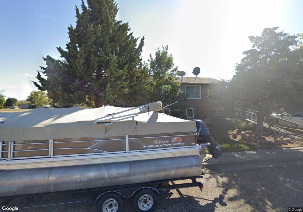
911 Memory Ln Pierre, SD 57501
Estimated Value: $168,434 - $288,000
3
Beds
1
Bath
960
Sq Ft
$241/Sq Ft
Est. Value
About This Home
This home is located at 911 Memory Ln, Pierre, SD 57501 and is currently estimated at $231,609, approximately $241 per square foot. 911 Memory Ln is a home with nearby schools including T.F. Riggs High School and Pierre SDA School.
Ownership History
Date
Name
Owned For
Owner Type
Purchase Details
Closed on
Jan 12, 2012
Sold by
Zebroski Steven R and Zebroski Peggy A
Bought by
Hall Talon R
Current Estimated Value
Home Financials for this Owner
Home Financials are based on the most recent Mortgage that was taken out on this home.
Original Mortgage
$120,000
Outstanding Balance
$82,071
Interest Rate
3.93%
Mortgage Type
New Conventional
Estimated Equity
$149,538
Create a Home Valuation Report for This Property
The Home Valuation Report is an in-depth analysis detailing your home's value as well as a comparison with similar homes in the area
Home Values in the Area
Average Home Value in this Area
Purchase History
| Date | Buyer | Sale Price | Title Company |
|---|---|---|---|
| Hall Talon R | $116,500 | -- |
Source: Public Records
Mortgage History
| Date | Status | Borrower | Loan Amount |
|---|---|---|---|
| Open | Hall Talon R | $120,000 |
Source: Public Records
Tax History
| Year | Tax Paid | Tax Assessment Tax Assessment Total Assessment is a certain percentage of the fair market value that is determined by local assessors to be the total taxable value of land and additions on the property. | Land | Improvement |
|---|---|---|---|---|
| 2025 | $2,401 | $131,367 | $19,494 | $111,873 |
| 2024 | $2,398 | $188,917 | $25,415 | $163,502 |
| 2023 | $2,155 | $183,835 | $24,321 | $159,514 |
| 2022 | $2,031 | $156,091 | $23,163 | $132,928 |
| 2021 | $1,990 | $139,367 | $20,681 | $118,686 |
| 2020 | $2,036 | $135,308 | $20,079 | $115,229 |
| 2019 | $2,033 | $135,308 | $20,079 | $115,229 |
| 2018 | $1,949 | $131,367 | $19,494 | $111,873 |
| 2017 | -- | $125,112 | $18,566 | $106,546 |
| 2016 | $2,037 | $125,112 | $18,566 | $106,546 |
| 2015 | -- | $121,468 | $18,025 | $103,443 |
| 2014 | -- | $117,930 | $17,500 | $100,430 |
| 2013 | -- | $117,930 | $17,500 | $100,430 |
| 2011 | -- | $114,841 | $13,932 | $100,909 |
Source: Public Records
Map
Nearby Homes
- 1006 S Arthur St
- 2801 E Sully Ave
- 2800 E Green St
- 1720 E Park St
- 2810 E Irwin St
- 2827 E Irwin St
- 1603 E Park St
- 2817 E Humboldt St
- 1601 E Park St
- 314 S Filmore Ave
- 2416 E Franklin St
- 1421 E Park St
- 1420 E Dakota Ave
- 2400 E Capitol Ave
- 220 S Van Buren Ave
- 115 S Tyler Ave
- 1515 E Capitol Ave
- 1511 E Capitol Ave
- 1501 E Capitol Ave
- 1602 E Cabot St
Your Personal Tour Guide
Ask me questions while you tour the home.