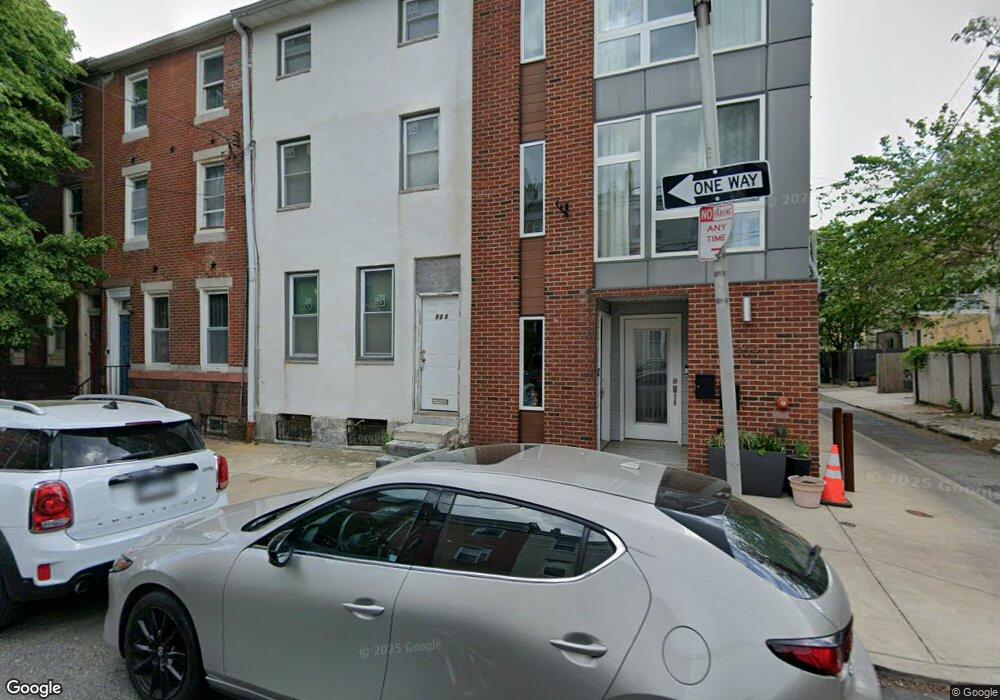
911 N 20th St Philadelphia, PA 19130
Fairmount NeighborhoodEstimated Value: $402,691 - $759,000
--
Bed
--
Bath
2,235
Sq Ft
$252/Sq Ft
Est. Value
About This Home
This home is located at 911 N 20th St, Philadelphia, PA 19130 and is currently estimated at $563,173, approximately $251 per square foot. 911 N 20th St is a home located in Philadelphia County with nearby schools including Bache-Martin School, Benjamin Franklin High School, and Gesu School.
Ownership History
Date
Name
Owned For
Owner Type
Purchase Details
Closed on
Jul 11, 2007
Sold by
Mitchell Freddie
Bought by
Mitchell Freddie and Mitchell Peter D
Current Estimated Value
Home Financials for this Owner
Home Financials are based on the most recent Mortgage that was taken out on this home.
Original Mortgage
$134,000
Interest Rate
6.73%
Mortgage Type
New Conventional
Create a Home Valuation Report for This Property
The Home Valuation Report is an in-depth analysis detailing your home's value as well as a comparison with similar homes in the area
Home Values in the Area
Average Home Value in this Area
Purchase History
| Date | Buyer | Sale Price | Title Company |
|---|---|---|---|
| Mitchell Freddie | -- | None Available |
Source: Public Records
Mortgage History
| Date | Status | Borrower | Loan Amount |
|---|---|---|---|
| Closed | Mitchell Freddie | $134,000 |
Source: Public Records
Tax History Compared to Growth
Tax History
| Year | Tax Paid | Tax Assessment Tax Assessment Total Assessment is a certain percentage of the fair market value that is determined by local assessors to be the total taxable value of land and additions on the property. | Land | Improvement |
|---|---|---|---|---|
| 2026 | $3,754 | $301,700 | $60,300 | $241,400 |
| 2025 | $3,754 | $301,700 | $60,300 | $241,400 |
| 2024 | $3,754 | $301,700 | $60,300 | $241,400 |
| 2023 | $3,754 | $268,200 | $53,600 | $214,600 |
| 2022 | $3,173 | $268,200 | $53,600 | $214,600 |
| 2021 | $3,173 | $0 | $0 | $0 |
| 2020 | $3,173 | $0 | $0 | $0 |
| 2019 | $3,068 | $0 | $0 | $0 |
| 2018 | $2,835 | $0 | $0 | $0 |
| 2017 | $2,835 | $0 | $0 | $0 |
| 2016 | $1,593 | $0 | $0 | $0 |
| 2015 | $2,508 | $0 | $0 | $0 |
| 2014 | -- | $187,200 | $13,163 | $174,037 |
| 2012 | -- | $15,232 | $3,925 | $11,307 |
Source: Public Records
Map
Nearby Homes
- 1929 W George St
- 1932 Cambridge St Unit A
- 1926 Poplar St Unit 1
- 2007 Cambridge St
- 871 N 20th St Unit 1
- 2010 Ogden St
- 1902 Poplar St Unit A
- 2022 Ogden St
- 2019 W Girard Ave
- 864 N 19th St
- 919 N 19th St
- 923 N 19th St
- 931 N 19th St
- 883 Perkiomen St
- 1825 Ginnodo St Unit 2
- 882 N Woodstock St
- 827 Corinthian Ave
- 861 Perkiomen St
- 858 Perkiomen St
- 856 Perkiomen St
- 913 N 20th St
- 915 N 20th St
- 909 N 20th St Unit B
- 909 N 20th St Unit 1
- 909 N 20th St Unit 2
- 1938 Cambridge St
- 1939 W George St
- 1936 Cambridge St
- 1936 Cambridge St Unit 2ND FL
- 1936 Cambridge St Unit 1ST FL
- 1937 W George St
- 1934 Cambridge St
- 1935 W George St
- 1951 Cambridge St
- 1951 Cambridge St Unit D
- 1951 Cambridge St Unit C
- 1951 Cambridge St Unit B
- 1951 Cambridge St Unit A
- 1932 Cambridge St
- 1932 Cambridge St Unit B