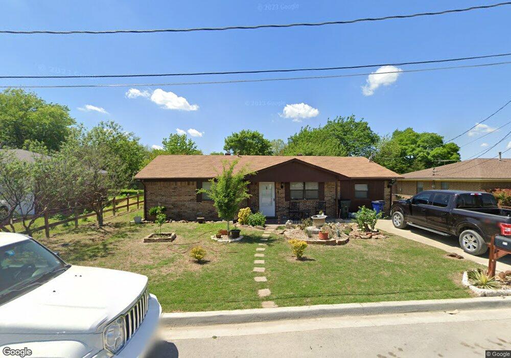
911 N 6th St Sanger, TX 76266
Estimated Value: $212,319 - $259,000
3
Beds
1
Bath
1,296
Sq Ft
$174/Sq Ft
Est. Value
About This Home
This home is located at 911 N 6th St, Sanger, TX 76266 and is currently estimated at $225,830, approximately $174 per square foot. 911 N 6th St is a home located in Denton County with nearby schools including Chisholm Trail Elementary School, Clear Creek Intermediate School, and Sanger Sixth Grade Campus.
Ownership History
Date
Name
Owned For
Owner Type
Purchase Details
Closed on
Mar 31, 2011
Sold by
Frizzell Jewel
Bought by
Perez Dario Y
Current Estimated Value
Home Financials for this Owner
Home Financials are based on the most recent Mortgage that was taken out on this home.
Original Mortgage
$45,600
Outstanding Balance
$1,785
Interest Rate
5.04%
Mortgage Type
New Conventional
Estimated Equity
$224,045
Purchase Details
Closed on
Jan 27, 1995
Sold by
Mcdonald Stanley and Mcdonald Melissa
Bought by
Sanger Bank
Create a Home Valuation Report for This Property
The Home Valuation Report is an in-depth analysis detailing your home's value as well as a comparison with similar homes in the area
Home Values in the Area
Average Home Value in this Area
Purchase History
| Date | Buyer | Sale Price | Title Company |
|---|---|---|---|
| Perez Dario Y | -- | Stc | |
| Sanger Bank | -- | -- | |
| Sanger Bank | -- | -- |
Source: Public Records
Mortgage History
| Date | Status | Borrower | Loan Amount |
|---|---|---|---|
| Open | Perez Dario Y | $45,600 |
Source: Public Records
Tax History Compared to Growth
Tax History
| Year | Tax Paid | Tax Assessment Tax Assessment Total Assessment is a certain percentage of the fair market value that is determined by local assessors to be the total taxable value of land and additions on the property. | Land | Improvement |
|---|---|---|---|---|
| 2025 | $2,267 | $171,388 | $62,010 | $109,378 |
| 2024 | $3,419 | $169,187 | $0 | $0 |
| 2023 | $1,960 | $153,806 | $48,230 | $114,054 |
| 2022 | $3,101 | $139,824 | $37,895 | $118,099 |
| 2021 | $2,672 | $147,036 | $31,005 | $116,031 |
| 2020 | $2,557 | $115,557 | $31,005 | $89,318 |
| 2019 | $2,392 | $105,052 | $31,005 | $91,872 |
| 2018 | $2,186 | $95,502 | $31,005 | $86,401 |
| 2017 | $1,997 | $86,820 | $31,005 | $65,279 |
| 2016 | $1,644 | $78,927 | $17,225 | $62,862 |
| 2015 | $1,425 | $71,752 | $17,225 | $54,527 |
| 2014 | $1,425 | $70,170 | $17,225 | $52,945 |
| 2013 | -- | $66,592 | $17,225 | $49,367 |
Source: Public Records
Map
Nearby Homes
- 4551 Farm To Market Road 455
- 902 Plum St
- 702 Peach St Unit 2
- TBD Interstate 35
- 4063 Farm To Market 455 W
- 1010 Bolivar St
- 1209 Bolivar St
- 1149 Serendipity Cir
- 109 S 5th St
- 411 Hughes St
- 710 W Willow St
- 126 Creekside Dr
- 1009 Porter Place
- 136 Creekside Dr
- Dogwood Plan at Sable Creek
- Violet III Plan at Sable Creek
- Cypress II Plan at Sable Creek
- Dewberry Plan at Sable Creek
- Dogwood III Plan at Sable Creek
- Cypress Plan at Sable Creek