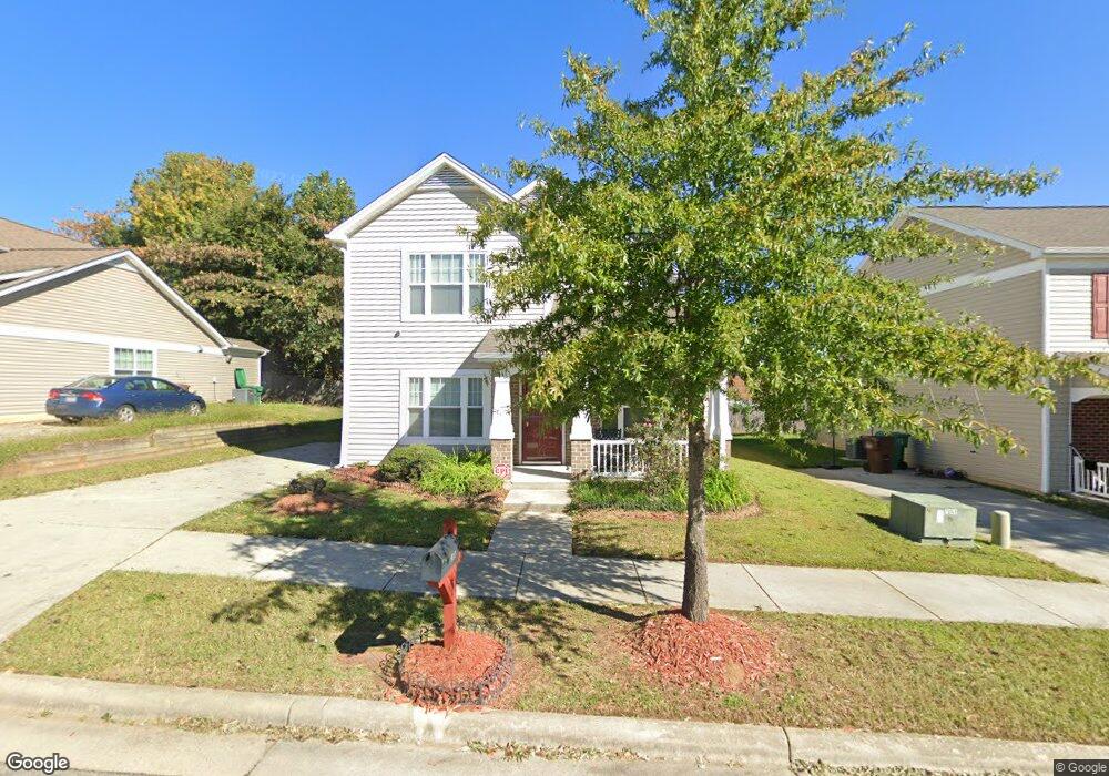
911 Norton St High Point, NC 27263
Greater High Point NeighborhoodEstimated Value: $233,000 - $270,635
3
Beds
3
Baths
1,919
Sq Ft
$129/Sq Ft
Est. Value
About This Home
This home is located at 911 Norton St, High Point, NC 27263 and is currently estimated at $247,159, approximately $128 per square foot. 911 Norton St is a home located in Guilford County with nearby schools including Allen Jay Elementary School, Southern Guilford Middle, and Southern Guilford High School.
Ownership History
Date
Name
Owned For
Owner Type
Purchase Details
Closed on
Nov 30, 2009
Sold by
The Housing Authority Of The City Of Hig
Bought by
Joseph Barbara
Current Estimated Value
Home Financials for this Owner
Home Financials are based on the most recent Mortgage that was taken out on this home.
Original Mortgage
$20,000
Outstanding Balance
$13,059
Interest Rate
4.92%
Mortgage Type
Unknown
Estimated Equity
$234,100
Create a Home Valuation Report for This Property
The Home Valuation Report is an in-depth analysis detailing your home's value as well as a comparison with similar homes in the area
Home Values in the Area
Average Home Value in this Area
Purchase History
| Date | Buyer | Sale Price | Title Company |
|---|---|---|---|
| Joseph Barbara | $127,500 | None Available |
Source: Public Records
Mortgage History
| Date | Status | Borrower | Loan Amount |
|---|---|---|---|
| Open | Joseph Barbara | $20,000 | |
| Open | Joseph Barbara | $78,958 |
Source: Public Records
Tax History
| Year | Tax Paid | Tax Assessment Tax Assessment Total Assessment is a certain percentage of the fair market value that is determined by local assessors to be the total taxable value of land and additions on the property. | Land | Improvement |
|---|---|---|---|---|
| 2025 | $2,577 | $187,000 | $25,000 | $162,000 |
| 2024 | $2,577 | $187,000 | $25,000 | $162,000 |
| 2023 | $2,577 | $187,000 | $25,000 | $162,000 |
| 2022 | $2,521 | $187,000 | $25,000 | $162,000 |
| 2021 | $1,694 | $122,900 | $18,000 | $104,900 |
| 2020 | $1,694 | $122,900 | $18,000 | $104,900 |
| 2019 | $1,694 | $122,900 | $0 | $0 |
| 2018 | $1,685 | $122,900 | $0 | $0 |
| 2017 | $1,694 | $122,900 | $0 | $0 |
| 2016 | $1,997 | $142,400 | $0 | $0 |
| 2015 | $2,008 | $142,400 | $0 | $0 |
| 2014 | $2,042 | $142,400 | $0 | $0 |
Source: Public Records
Map
Nearby Homes
- 921 Norton St
- 715 Baker Rd
- 717 Belmont Dr
- 609 Martha Place
- 607 Martha Place
- 600 E Fairfield Rd
- 706 E Fairfield Rd
- 914 Nance Ave
- 312 Model Farm Rd
- 400 E Springfield Rd
- 304 E Springfield Rd
- 206 E Moore Ave
- 312 Playground Rd
- 2616 Ingram Rd
- 335 Nathan Hunt Dr
- 112 Havenwood Dr
- 102 Quakerwood Dr
- 10844 N Main St
- 126 Apollo Cir
- 1103 Jefferson St