911 Romine Dr McCall, ID 83638
Estimated Value: $717,415 - $948,000
2
Beds
3
Baths
1,539
Sq Ft
$543/Sq Ft
Est. Value
About This Home
This home is located at 911 Romine Dr, McCall, ID 83638 and is currently estimated at $835,604, approximately $542 per square foot. 911 Romine Dr is a home with nearby schools including McCall-Donnelly High School, Mountain Life Education, and McCall Adventist Christian School.
Ownership History
Date
Name
Owned For
Owner Type
Purchase Details
Closed on
Nov 8, 2024
Sold by
Fromlath Allen Jay and Fromlath Brenda
Bought by
Jsj Enterprises Llc
Current Estimated Value
Purchase Details
Closed on
Apr 8, 2019
Sold by
Downey Dennis J and Downey Linda
Bought by
Downey Christopher J
Home Financials for this Owner
Home Financials are based on the most recent Mortgage that was taken out on this home.
Original Mortgage
$185,000
Interest Rate
3.9%
Mortgage Type
New Conventional
Purchase Details
Closed on
Dec 20, 2018
Sold by
Downey Dennis J
Bought by
Downey Dennis J and Dennis Downey Family Trust
Create a Home Valuation Report for This Property
The Home Valuation Report is an in-depth analysis detailing your home's value as well as a comparison with similar homes in the area
Home Values in the Area
Average Home Value in this Area
Purchase History
| Date | Buyer | Sale Price | Title Company |
|---|---|---|---|
| Jsj Enterprises Llc | -- | Amerititle | |
| Jsj Enterprises Llc | -- | Amerititle | |
| Downey Christopher J | -- | First American Title Mccall | |
| Downey Dennis J | -- | None Available |
Source: Public Records
Mortgage History
| Date | Status | Borrower | Loan Amount |
|---|---|---|---|
| Previous Owner | Downey Christopher J | $185,000 |
Source: Public Records
Tax History Compared to Growth
Tax History
| Year | Tax Paid | Tax Assessment Tax Assessment Total Assessment is a certain percentage of the fair market value that is determined by local assessors to be the total taxable value of land and additions on the property. | Land | Improvement |
|---|---|---|---|---|
| 2025 | $2,951 | $651,505 | $167,422 | $484,083 |
| 2023 | $2,951 | $607,105 | $186,024 | $421,081 |
| 2022 | $2,650 | $517,044 | $167,791 | $349,253 |
| 2021 | $2,684 | $345,333 | $61,346 | $283,987 |
| 2020 | $2,585 | $290,625 | $47,114 | $243,511 |
| 2019 | $2,860 | $296,162 | $51,349 | $244,813 |
| 2018 | $2,503 | $236,997 | $43,285 | $193,712 |
| 2017 | $2,869 | $256,185 | $54,101 | $202,084 |
| 2016 | $2,938 | $256,710 | $48,368 | $208,342 |
| 2015 | $1,417 | $237,681 | $0 | $0 |
| 2013 | -- | $211,017 | $0 | $0 |
Source: Public Records
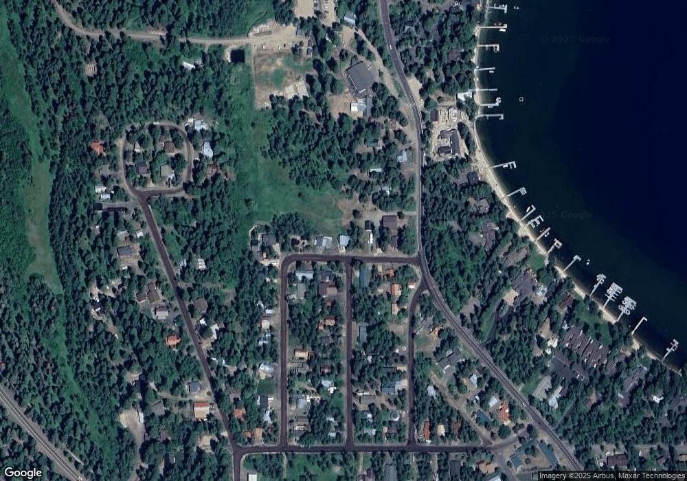
Map
Nearby Homes
- 1207 Zachary Rd
- 808 Hayes St
- 1124 Shellworth Cir
- 1105 Knowles Rd
- 1132 Shellworth Cir
- 1100 Shellworth Cir
- 24640 Warren Wagon Rd
- 13321 Idaho 55
- 1445 Paul Bunyan Rd
- 1075 Club Rd
- 1423 Veronica Ln
- 703 Grove St Unit 2A
- 306 Whitetail Dr
- 357 Whitetail Dr
- 1002 Rowland St
- 1002 Rowland St Unit 1-12
- 1413 Stone Ln
- TBD Helmich Rd
- 913 Romine Dr
- 1320 Jasper St
- 1323 Jasper St
- 1402 Warren Wagon Rd
- 1318 Jasper St
- 902 Romine Dr
- 1321 Hubbard Dr
- 1321 Hubbard Ln
- 901 Romine Dr
- 916 Romine Dr
- 1316 Jasper Dr
- 1319 Hubbard Dr
- 1316 Jasper St
- 917 Romine Dr
- 1316 Boydstun St
- 1408 Warren Wagon Rd
- 1314 Jasper Dr
- 3865 Warren Wagon Rd Parcel B
- 1322 Hubbard Ln
- 1320 Hubbard Ln