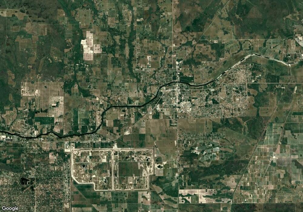
911 Ruby St Fort Denaud, FL 33935
Estimated Value: $22,000 - $339,000
Studio
--
Bath
--
Sq Ft
10,019
Sq Ft Lot
About This Home
This home is located at 911 Ruby St, Fort Denaud, FL 33935 and is currently estimated at $156,667. 911 Ruby St is a home located in Hendry County.
Ownership History
Date
Name
Owned For
Owner Type
Purchase Details
Closed on
Sep 1, 2016
Bought by
Lual Property Management Llc
Current Estimated Value
Create a Home Valuation Report for This Property
The Home Valuation Report is an in-depth analysis detailing your home's value as well as a comparison with similar homes in the area
Purchase History
| Date | Buyer | Sale Price | Title Company |
|---|---|---|---|
| Lual Property Management Llc | $5,000 | -- |
Source: Public Records
Tax History Compared to Growth
Tax History
| Year | Tax Paid | Tax Assessment Tax Assessment Total Assessment is a certain percentage of the fair market value that is determined by local assessors to be the total taxable value of land and additions on the property. | Land | Improvement |
|---|---|---|---|---|
| 2025 | $258 | $13,600 | $13,600 | -- |
| 2024 | $232 | $11,000 | $11,000 | -- |
| 2023 | $232 | $11,211 | $11,211 | $0 |
| 2022 | $222 | $9,300 | $9,300 | $0 |
| 2021 | $170 | $3,000 | $3,000 | $0 |
| 2020 | $167 | $2,600 | $2,600 | $0 |
| 2019 | $164 | $2,250 | $2,250 | $0 |
| 2018 | $165 | $2,250 | $2,250 | $0 |
| 2017 | $168 | $2,250 | $0 | $0 |
| 2016 | $158 | $2,000 | $0 | $0 |
| 2015 | $154 | $2,000 | $0 | $0 |
| 2014 | $146 | $1,500 | $0 | $0 |
Source: Public Records
Map
Nearby Homes
- 907 Ruby St
- 909 Emerald St
- 950 Quinton Dr
- 915 Emerald St
- 905 Emerald St
- 1014 Lockwood St
- 1215 Austin St
- 849 Morning Ln
- 843 Morning Ln
- 706 Eugene Cernan Dr
- 747 Brooklyn Cir
- 715 Eugene Cernan Dr
- 1313 Garrett Ln
- 122 Pixie Ave
- 607 Raleigh Dr
- 344 James Irwin Terrace
- 523 Spray Dr
- 702 Space Ct
- 217 Clover Ave
- 669 Nassau Cir
