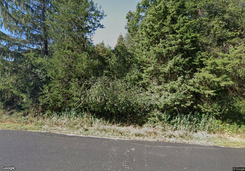
911 S Wayfare Trail Oconomowoc, WI 53066
Estimated Value: $598,000 - $750,000
--
Bed
--
Bath
--
Sq Ft
3.14
Acres
About This Home
This home is located at 911 S Wayfare Trail, Oconomowoc, WI 53066 and is currently estimated at $660,566. 911 S Wayfare Trail is a home located in Waukesha County with nearby schools including Dousman Elementary School, Kettle Moraine Middle School, and Kettle Moraine High School.
Ownership History
Date
Name
Owned For
Owner Type
Purchase Details
Closed on
Aug 13, 1998
Sold by
Kazik Phillip J and Kazik Catherine L
Bought by
Coakley Neil J and Coakley Freida Marie
Current Estimated Value
Home Financials for this Owner
Home Financials are based on the most recent Mortgage that was taken out on this home.
Original Mortgage
$174,000
Outstanding Balance
$36,742
Interest Rate
7.06%
Mortgage Type
Purchase Money Mortgage
Estimated Equity
$623,824
Create a Home Valuation Report for This Property
The Home Valuation Report is an in-depth analysis detailing your home's value as well as a comparison with similar homes in the area
Home Values in the Area
Average Home Value in this Area
Purchase History
| Date | Buyer | Sale Price | Title Company |
|---|---|---|---|
| Coakley Neil J | $328,000 | -- |
Source: Public Records
Mortgage History
| Date | Status | Borrower | Loan Amount |
|---|---|---|---|
| Open | Coakley Neil J | $174,000 |
Source: Public Records
Tax History Compared to Growth
Tax History
| Year | Tax Paid | Tax Assessment Tax Assessment Total Assessment is a certain percentage of the fair market value that is determined by local assessors to be the total taxable value of land and additions on the property. | Land | Improvement |
|---|---|---|---|---|
| 2024 | $5,987 | $457,800 | $103,500 | $354,300 |
| 2023 | $5,609 | $457,800 | $103,500 | $354,300 |
| 2022 | $4,802 | $457,800 | $103,500 | $354,300 |
| 2021 | $5,087 | $357,400 | $82,800 | $274,600 |
| 2020 | $5,216 | $357,400 | $82,800 | $274,600 |
| 2019 | $5,064 | $357,400 | $82,800 | $274,600 |
| 2018 | $4,991 | $357,400 | $82,800 | $274,600 |
| 2017 | $4,840 | $342,100 | $82,800 | $259,300 |
| 2016 | $4,798 | $342,100 | $82,800 | $259,300 |
| 2015 | $4,808 | $342,100 | $82,800 | $259,300 |
| 2014 | $4,834 | $327,800 | $82,800 | $245,000 |
| 2013 | $4,834 | $329,600 | $82,800 | $246,800 |
Source: Public Records
Map
Nearby Homes
- Lt11 S Wayfare Trail
- Lt10 S Wayfare Trail
- Lt9 S Wayfare Trail
- Lt8 S Wayfare Trail
- Lt7 S Wayfare Trail
- 1010 S Wayfare Trail
- Lt6 Whitaker Ln
- Lt5 Whitaker Ln
- Lt4 Whitaker Ln
- Lt3 Whitaker Ln
- Lt2 Whitaker Ln
- Lt1 Whitaker Ln
- Lt2 W Talbots Woods Dr
- 537 Pioneer Ct Unit 18 left
- Lt4 W Talbots Woods Dr
- 518 Pioneer Ct Unit 13 right
- Lt58 W Talbots Woods Dr
- Lt48 W Ingleside Ct
- 530 Pioneer Ct Unit Lt12 right
- 512 Pioneer Ct
- 981 S Wayfare Trail
- 799 S Wayfare Trail
- 820 S Wayfare Trail
- 920 S Wayfare Trail
- 960 S Wayfare Trail
- 35621 Fareway Ln
- 860 S Wayfare Trail
- 35826 Whitaker Ln
- 35784 Whitaker Ln
- 775 S Wayfare Trail
- 35581 Fareway Ln
- 35610 Fareway Ln
- 35821 Whitaker Ln
- 35521 Fareway Ln
- 35791 Whitaker Ln
- 35781 Whitaker Ln
- 35446 Sunset Dr
- 35490 Opengate Ct
- Lt1 Frontier Ct Unit Lt1
- Lot 1 Frontier Ct Unit Lot 1
