911 SE Rim Rock Ln Milwaukie, OR 97267
Estimated Value: $546,000 - $623,404
4
Beds
3
Baths
2,245
Sq Ft
$261/Sq Ft
Est. Value
About This Home
This home is located at 911 SE Rim Rock Ln, Milwaukie, OR 97267 and is currently estimated at $585,351, approximately $260 per square foot. 911 SE Rim Rock Ln is a home located in Clackamas County with nearby schools including Oak Grove Elementary School, Alder Creek Middle School, and Rex Putnam High School.
Ownership History
Date
Name
Owned For
Owner Type
Purchase Details
Closed on
Mar 28, 2003
Sold by
Cole Curtis
Bought by
Odell David C and Taylor Kate M
Current Estimated Value
Home Financials for this Owner
Home Financials are based on the most recent Mortgage that was taken out on this home.
Original Mortgage
$146,000
Outstanding Balance
$61,798
Interest Rate
5.79%
Estimated Equity
$523,553
Create a Home Valuation Report for This Property
The Home Valuation Report is an in-depth analysis detailing your home's value as well as a comparison with similar homes in the area
Home Values in the Area
Average Home Value in this Area
Purchase History
| Date | Buyer | Sale Price | Title Company |
|---|---|---|---|
| Odell David C | $182,500 | Fidelity Natl Title Co Of Or |
Source: Public Records
Mortgage History
| Date | Status | Borrower | Loan Amount |
|---|---|---|---|
| Open | Odell David C | $146,000 | |
| Closed | Odell David C | $18,250 |
Source: Public Records
Tax History Compared to Growth
Tax History
| Year | Tax Paid | Tax Assessment Tax Assessment Total Assessment is a certain percentage of the fair market value that is determined by local assessors to be the total taxable value of land and additions on the property. | Land | Improvement |
|---|---|---|---|---|
| 2025 | $4,894 | $257,111 | -- | -- |
| 2024 | $4,721 | $249,623 | -- | -- |
| 2023 | $4,721 | $242,353 | $0 | $0 |
| 2022 | $4,343 | $235,295 | $0 | $0 |
| 2021 | $4,184 | $228,442 | $0 | $0 |
| 2020 | $4,053 | $221,789 | $0 | $0 |
| 2019 | $3,995 | $215,330 | $0 | $0 |
| 2018 | $3,498 | $209,058 | $0 | $0 |
| 2017 | $3,787 | $202,969 | $0 | $0 |
| 2016 | $3,266 | $197,057 | $0 | $0 |
| 2015 | $3,174 | $191,317 | $0 | $0 |
| 2014 | $3,693 | $185,745 | $0 | $0 |
Source: Public Records
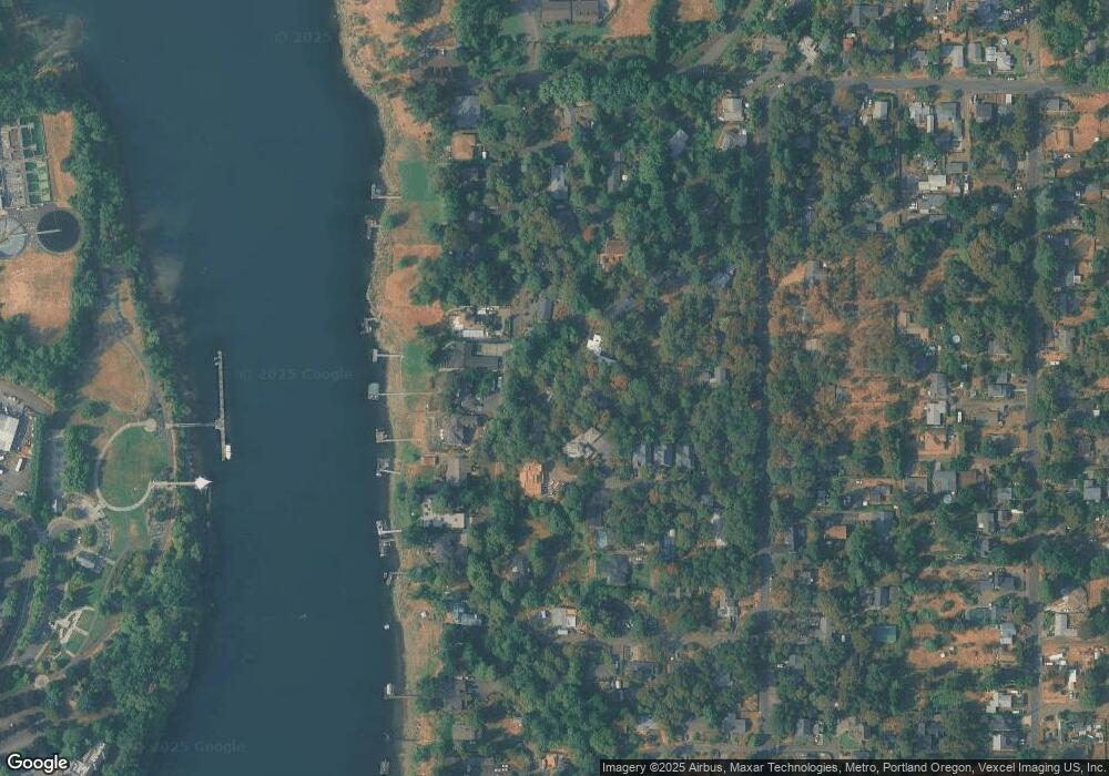
Map
Nearby Homes
- 985 SE Rim Rock Ln
- 14411 SE Wagner Ln
- 14222 SE Laurie Ave
- 5051 Foothills Dr Unit E
- 251 Stampher Rd
- 14007 SE Cedar Ave
- 0 SE Cedar Ave
- 13740 Fielding Rd
- 14368 SE Lee Ave
- 701 1st St
- 703 1st St
- 705 1st St
- 707 1st St
- 750 SW 1st Unit E31
- 15323 SE Fairoaks Ave
- 124 D Ave
- 135 Furnace St Unit 22
- 639 2nd St
- 580 2nd St Unit 1
- 49 Briarwood Rd
- 14115 SE Fairoaks Ave
- 927 SE Rim Rock Ln
- 14140 SE Fairoaks Way
- 1005 SE Rim Rock Ln
- 14035 SE Overlook Ln
- 14211 SE Fairoaks Ln
- 14213 SE Fairoaks Ln
- 14191 SE Fairoaks Way
- 14025 SE Overlook Ln
- 1045 SE Rim Rock Ln
- 14141 SE Fairoaks Way
- 14110 SE Fairoaks Way
- 1085 SE Rim Rock Ln
- 14217 SE Fairoaks Ln
- 0 SE Rim Rock Ln
- 1010 SE Rim Rock Ln
- 1120 SE Rim Rock Ln
- 14015 SE Overlook Ln
- 1125 SE Rim Rock Ln
- 14336 SE Fairoaks Ln