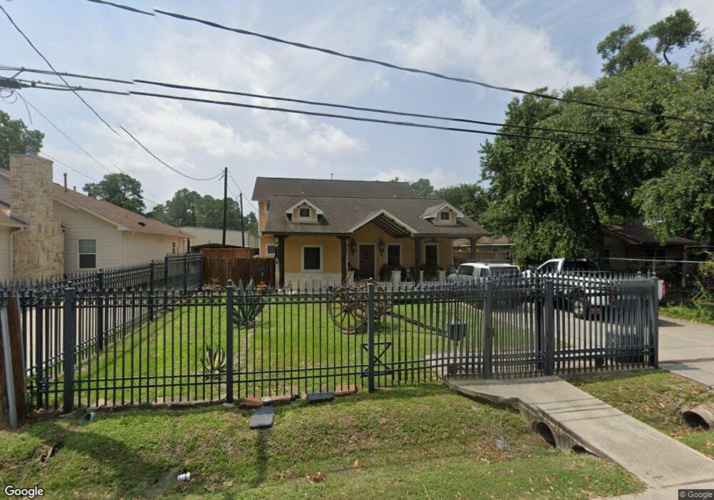
911 Thornton Rd Houston, TX 77018
Oak Forest-Garden Oaks NeighborhoodEstimated Value: $601,755 - $860,000
5
Beds
4
Baths
3,016
Sq Ft
$232/Sq Ft
Est. Value
About This Home
This home is located at 911 Thornton Rd, Houston, TX 77018 and is currently estimated at $698,939, approximately $231 per square foot. 911 Thornton Rd is a home located in Harris County with nearby schools including Durham Elementary School, Frank Black Middle School, and Waltrip High School.
Ownership History
Date
Name
Owned For
Owner Type
Purchase Details
Closed on
Dec 15, 1993
Sold by
Pierson Lillie Mae
Bought by
Alvarado Jose L and Alvarado Silvia H
Current Estimated Value
Home Financials for this Owner
Home Financials are based on the most recent Mortgage that was taken out on this home.
Original Mortgage
$28,000
Interest Rate
7.19%
Mortgage Type
Seller Take Back
Create a Home Valuation Report for This Property
The Home Valuation Report is an in-depth analysis detailing your home's value as well as a comparison with similar homes in the area
Home Values in the Area
Average Home Value in this Area
Purchase History
| Date | Buyer | Sale Price | Title Company |
|---|---|---|---|
| Alvarado Jose L | -- | Texas American Title Company |
Source: Public Records
Mortgage History
| Date | Status | Borrower | Loan Amount |
|---|---|---|---|
| Closed | Alvarado Jose L | $28,000 |
Source: Public Records
Tax History Compared to Growth
Tax History
| Year | Tax Paid | Tax Assessment Tax Assessment Total Assessment is a certain percentage of the fair market value that is determined by local assessors to be the total taxable value of land and additions on the property. | Land | Improvement |
|---|---|---|---|---|
| 2025 | $6,882 | $587,434 | $420,315 | $167,119 |
| 2024 | $6,882 | $535,861 | $370,278 | $165,583 |
| 2023 | $6,882 | $479,588 | $320,240 | $159,348 |
| 2022 | $8,411 | $382,011 | $300,225 | $81,786 |
| 2021 | $8,437 | $361,996 | $280,210 | $81,786 |
| 2020 | $8,233 | $340,000 | $230,173 | $109,827 |
| 2019 | $8,692 | $343,493 | $170,128 | $173,365 |
| 2018 | $7,246 | $371,001 | $120,090 | $250,911 |
| 2017 | $9,991 | $395,133 | $60,045 | $335,088 |
| 2016 | $9,192 | $395,133 | $60,045 | $335,088 |
| 2015 | $6,031 | $385,605 | $60,045 | $325,560 |
| 2014 | $6,031 | $300,452 | $60,045 | $240,407 |
Source: Public Records
Map
Nearby Homes
- 817 Thornton Rd Unit G
- 4510 Curtin Park Ct
- 812 Thornton Rd Unit B
- 9388 Plan at Thornton Oaks
- 9384 Plan at Thornton Oaks
- 811 Thornton Rd Unit B
- 752 Curtin St
- 750 Curtin St
- 748 Curtin St
- 744 Curtin St
- 742 Curtin St
- 535 Azaleadell Dr
- 808 Woodcrest Dr Unit A
- 719 Thornton Rd Unit B
- 719 Thornton Rd Unit E
- 719 Thornton Rd Unit A
- 719 Thornton Rd Unit F
- 807 Martin St Unit D
- 807 Martin St Unit C
- 702 Azaleadell Dr
- 917 Thornton Rd
- 909 Thornton Rd
- 919 Thornton Rd
- 905 Thornton Rd Unit E
- 921 Thornton Rd
- 912 Curtin Ave
- 903 Thornton Rd
- 910 Thornton Rd
- 832 Curtin St
- 912 Thornton Rd
- 920 Curtin St
- 4620 Brinkman St
- 916 Thornton Rd
- 920 Thornton Rd
- 920 Thornton Rd Unit C
- 920 Thornton Rd Unit E
- 920 Thornton Rd Unit D
- 920 Thornton Rd Unit B
- 920 Thornton Rd Unit A
- 920 Thornton Rd Unit G