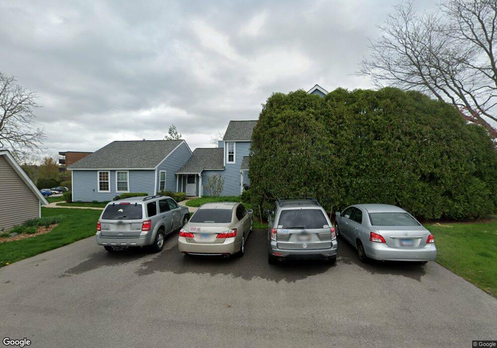
911 Vose Dr Unit U414 Gurnee, IL 60031
Estimated Value: $236,784 - $265,000
2
Beds
2
Baths
1,460
Sq Ft
$169/Sq Ft
Est. Value
About This Home
This home is located at 911 Vose Dr Unit U414, Gurnee, IL 60031 and is currently estimated at $246,946, approximately $169 per square foot. 911 Vose Dr Unit U414 is a home located in Lake County with nearby schools including Woodland Primary School, Woodland Elementary School, and Woodland Intermediate School.
Ownership History
Date
Name
Owned For
Owner Type
Purchase Details
Closed on
Aug 9, 2001
Sold by
Riblet William
Bought by
Koob Morris and Koob David
Current Estimated Value
Home Financials for this Owner
Home Financials are based on the most recent Mortgage that was taken out on this home.
Original Mortgage
$105,000
Outstanding Balance
$41,343
Interest Rate
7.28%
Estimated Equity
$205,603
Create a Home Valuation Report for This Property
The Home Valuation Report is an in-depth analysis detailing your home's value as well as a comparison with similar homes in the area
Home Values in the Area
Average Home Value in this Area
Purchase History
| Date | Buyer | Sale Price | Title Company |
|---|---|---|---|
| Koob Morris | $140,000 | -- |
Source: Public Records
Mortgage History
| Date | Status | Borrower | Loan Amount |
|---|---|---|---|
| Open | Koob Morris | $105,000 |
Source: Public Records
Tax History Compared to Growth
Tax History
| Year | Tax Paid | Tax Assessment Tax Assessment Total Assessment is a certain percentage of the fair market value that is determined by local assessors to be the total taxable value of land and additions on the property. | Land | Improvement |
|---|---|---|---|---|
| 2024 | $4,526 | $66,844 | $8,185 | $58,659 |
| 2023 | $5,020 | $62,059 | $7,599 | $54,460 |
| 2022 | $5,020 | $57,498 | $5,929 | $51,569 |
| 2021 | $4,238 | $52,067 | $5,369 | $46,698 |
| 2020 | $3,637 | $50,787 | $5,237 | $45,550 |
| 2019 | $3,520 | $49,313 | $5,085 | $44,228 |
| 2018 | $2,422 | $37,910 | $2,652 | $35,258 |
| 2017 | $2,384 | $36,824 | $2,576 | $34,248 |
| 2016 | $2,325 | $35,184 | $2,461 | $32,723 |
| 2015 | $2,216 | $33,369 | $2,334 | $31,035 |
| 2014 | $2,015 | $31,417 | $2,303 | $29,114 |
| 2012 | $3,807 | $31,658 | $2,321 | $29,337 |
Source: Public Records
Map
Nearby Homes
- 914 Vose Dr
- 920 Vose Dr Unit 304
- 920 Vose Dr Unit 106
- 920 Vose Dr Unit 105
- 917 Vose Dr Unit 304
- 6141 Crossland Blvd
- 776 Chandler Rd
- 741 Colby Ct Unit U42
- 6121 Brookstone Place
- 690 Chandler Rd Unit 102
- 690 Chandler Rd Unit 207
- 690 Chandler Rd Unit 305
- 650 Whitney Ct Unit 108
- 650 Whitney Ct Unit 203
- 651 White Ct
- 711 Creekside Cir Unit 103
- 638 Dordan Ct
- 761 Creekside Cir Unit 93
- 600 Creekside Cir Unit 85
- 6296 Doral Dr
- 909 Vose Dr Unit U413
- 913 Vose Dr Unit U415
- 915 Vose Dr Unit U416
- 907 Vose Dr Unit U408
- 905 Vose Dr
- 938 Taylor Dr
- 944 Taylor Dr Unit U375
- 948 Taylor Dr
- 950 Taylor Dr Unit U382
- 946 Taylor Dr Unit U384
- 942 Taylor Dr Unit 374
- 940 Taylor Dr Unit U373
- 910 Vose Dr
- 903 Vose Dr Unit U406
- 912 Vose Dr Unit 41B
- 912 Vose Dr
- 901 Vose Dr Unit U405
- 916 Vose Dr
- 904 Vose Dr Unit U410
- 902 Vose Dr