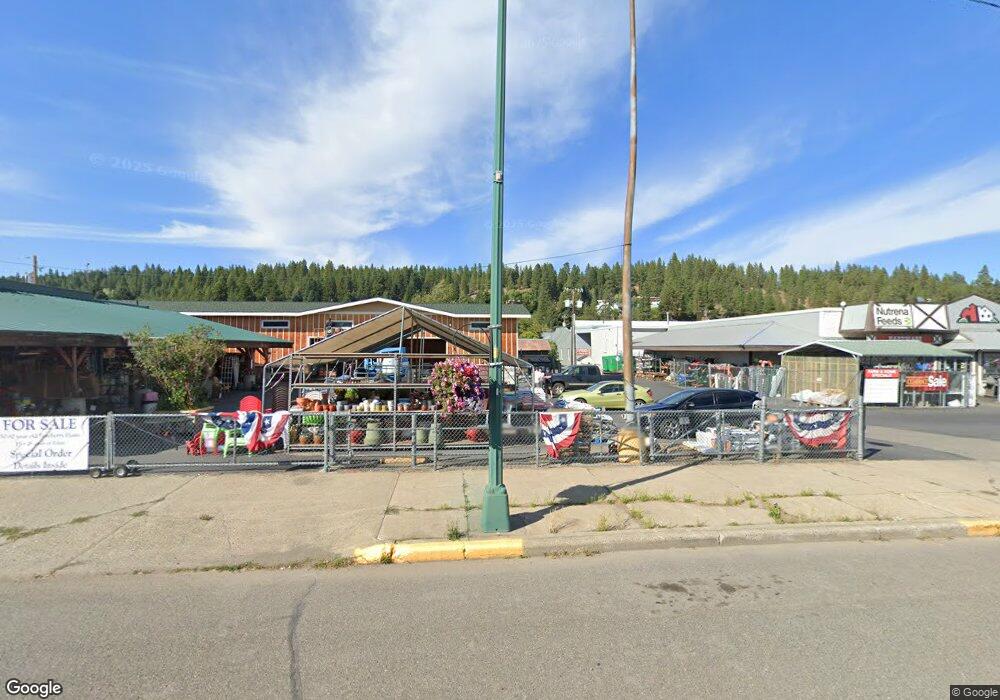
9110 Hwy 970 Cle Elum, WA 98922
Estimated Value: $758,508 - $914,000
3
Beds
2
Baths
1,560
Sq Ft
$528/Sq Ft
Est. Value
About This Home
This home is located at 9110 Hwy 970, Cle Elum, WA 98922 and is currently estimated at $823,127, approximately $527 per square foot. 9110 Hwy 970 is a home located in Kittitas County with nearby schools including Cle Elum Roslyn Elementary School, Walter Strom Middle School, and Cle Elum Roslyn High School.
Ownership History
Date
Name
Owned For
Owner Type
Purchase Details
Closed on
May 24, 2005
Sold by
Hunt Howard A and Hunt Ruth M
Bought by
Numkena Lawrence and Moran Nancy K
Current Estimated Value
Home Financials for this Owner
Home Financials are based on the most recent Mortgage that was taken out on this home.
Original Mortgage
$230,000
Outstanding Balance
$119,923
Interest Rate
5.84%
Mortgage Type
New Conventional
Estimated Equity
$703,204
Create a Home Valuation Report for This Property
The Home Valuation Report is an in-depth analysis detailing your home's value as well as a comparison with similar homes in the area
Home Values in the Area
Average Home Value in this Area
Purchase History
| Date | Buyer | Sale Price | Title Company |
|---|---|---|---|
| Numkena Lawrence | $374,673 | Stewart Title |
Source: Public Records
Mortgage History
| Date | Status | Borrower | Loan Amount |
|---|---|---|---|
| Open | Numkena Lawrence | $230,000 |
Source: Public Records
Tax History Compared to Growth
Tax History
| Year | Tax Paid | Tax Assessment Tax Assessment Total Assessment is a certain percentage of the fair market value that is determined by local assessors to be the total taxable value of land and additions on the property. | Land | Improvement |
|---|---|---|---|---|
| 2025 | $3,630 | $694,280 | $295,450 | $398,830 |
| 2023 | $3,630 | $558,580 | $210,450 | $348,130 |
| 2022 | $3,329 | $481,040 | $183,450 | $297,590 |
| 2021 | $3,142 | $433,430 | $157,950 | $275,480 |
| 2019 | $2,271 | $312,860 | $101,950 | $210,910 |
| 2018 | $2,136 | $268,150 | $101,950 | $166,200 |
| 2017 | $2,136 | $268,150 | $101,950 | $166,200 |
| 2016 | $2,140 | $268,150 | $101,950 | $166,200 |
| 2015 | $2,373 | $268,150 | $101,950 | $166,200 |
| 2013 | -- | $295,780 | $125,450 | $170,330 |
Source: Public Records
Map
Nearby Homes
- 0 XXX Red Bridge Rd
- 1 Wiehl Rd
- 2 Wiehl Rd
- 300 Teanaway Ridge Way
- 341 Teanaway Ridge Way
- 2262 Lambert Rd
- 301 Quail Valley Rd
- 960 Forest Grove Way
- 3653 Hart Rd
- 3431 Teanaway Rd
- 701 Emerick Rd
- 8440 Upper Peoh Point Rd
- 4081 Washington 970 Unit A4
- 4081 Washington 970 Unit A3
- 4081 Washington 970 Unit B4
- 4081 Washington 970 Unit B3
- 4081 Washington 970 Unit D7
- 4081 Washington 970 Unit A5
- 4081 Washington 970 Unit D10
- 4081 Washington 970 Unit A6
- 9230 Sr 970
- 8894 Hwy 970
- 1981 Teanaway Terrace Rd
- 1921 Teanaway Terrace Rd
- 8892 Hwy 970
- 0 Lot G Red Bridge Rd Unit 1508000
- 1721 Teanaway Terrace Rd
- 0 Lot H Red Bridge Rd Unit 1508020
- 524 Sunny Meadow Dr
- 524 (Lot H) Sunny Meadow Dr
- 8890 Washington 970
- 8890 Washington 970
- 9370 Sr 970
- 8890 Hwy 970
- 8890 Hwy 970
- 8890 Hwy 970
- 0 Lot E Red Bridge Rd
- 4804 Red Bridge Rd
