9110 Noll Lane Rd Saline, MI 48176
Estimated Value: $213,000 - $966,000
3
Beds
2
Baths
2,230
Sq Ft
$268/Sq Ft
Est. Value
About This Home
This home is located at 9110 Noll Lane Rd, Saline, MI 48176 and is currently estimated at $598,000, approximately $268 per square foot. 9110 Noll Lane Rd is a home located in Washtenaw County with nearby schools including Pleasant Ridge Elementary School, Heritage School, and Saline Middle School.
Ownership History
Date
Name
Owned For
Owner Type
Purchase Details
Closed on
Oct 30, 2012
Sold by
Haddad Charlie
Bought by
Modrzynski Deborah M and Modrzynski Dennis
Current Estimated Value
Purchase Details
Closed on
May 17, 2011
Sold by
Razinkov Vitaliy and Rostanets Irina
Bought by
Haddad Charlie
Purchase Details
Closed on
Aug 14, 2008
Sold by
Noll Olga
Bought by
Federal Home Loan Mortgage Corporation
Create a Home Valuation Report for This Property
The Home Valuation Report is an in-depth analysis detailing your home's value as well as a comparison with similar homes in the area
Home Values in the Area
Average Home Value in this Area
Purchase History
| Date | Buyer | Sale Price | Title Company |
|---|---|---|---|
| Modrzynski Deborah M | $30,000 | Capital Title Insurance Agen | |
| Haddad Charlie | $28,000 | Bell Title Agency Plymouth | |
| Federal Home Loan Mortgage Corporation | $236,953 | None Available |
Source: Public Records
Tax History Compared to Growth
Tax History
| Year | Tax Paid | Tax Assessment Tax Assessment Total Assessment is a certain percentage of the fair market value that is determined by local assessors to be the total taxable value of land and additions on the property. | Land | Improvement |
|---|---|---|---|---|
| 2025 | $6,206 | $274,000 | $0 | $0 |
| 2024 | $5,326 | $248,700 | $0 | $0 |
| 2023 | $5,081 | $227,300 | $0 | $0 |
| 2022 | $6,000 | $210,300 | $0 | $0 |
| 2021 | $5,834 | $199,800 | $0 | $0 |
| 2020 | $5,754 | $198,400 | $0 | $0 |
| 2019 | $5,611 | $187,500 | $187,500 | $0 |
| 2018 | $5,492 | $187,600 | $0 | $0 |
| 2017 | $5,245 | $183,100 | $0 | $0 |
| 2016 | $4,403 | $154,300 | $0 | $0 |
| 2015 | -- | $153,900 | $0 | $0 |
| 2014 | -- | $32,800 | $0 | $0 |
| 2013 | -- | $32,800 | $0 | $0 |
Source: Public Records
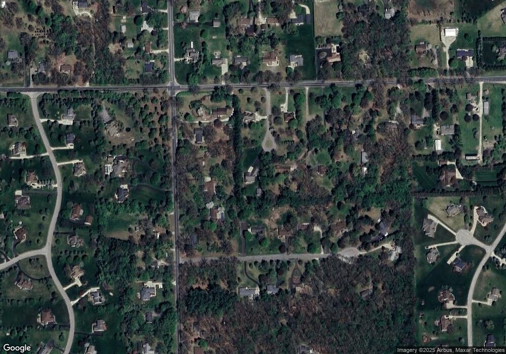
Map
Nearby Homes
- 9037 Yorkshire Dr
- 9001 Yorkshire Dr
- 9370 Moon Rd
- 9003 York Crest Dr
- 9002 York Crest Dr
- 9187 Charter Oak Ln
- 9004 Charter Oak Ln
- 9559 Sherwood Dr
- 758 Sutton Ct
- 834 Meghan Ct
- 762 Sutton Ct
- 754 Sutton Ct
- 6081 Lincolnshire Dr
- 9935 White Tail Dr
- 9931 White Tail Dr
- 1623 Wildwood Ln
- 290 Shelby Ct Unit 6
- 5075 Rutland Dr
- 5071 Rutland Dr
- Decker Plan at Fosdick Glen of Saline - Toll Brothers at Fosdick Glen