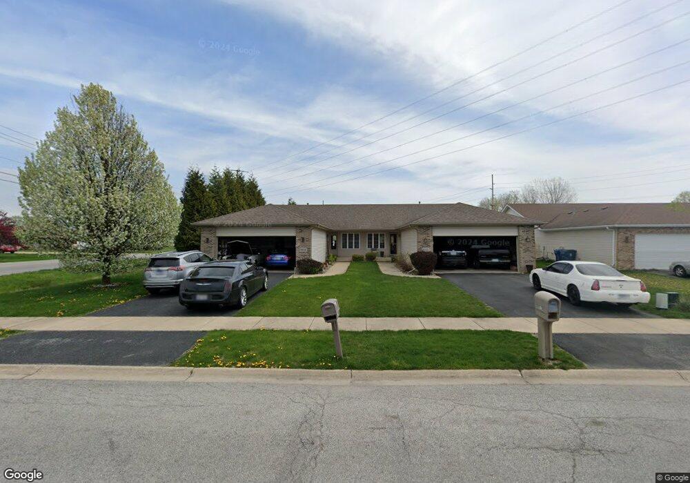
9111 Mathews St Crown Point, IN 46307
Estimated Value: $296,000 - $354,000
3
Beds
2
Baths
1,681
Sq Ft
$193/Sq Ft
Est. Value
About This Home
This home is located at 9111 Mathews St, Crown Point, IN 46307 and is currently estimated at $323,630, approximately $192 per square foot. 9111 Mathews St is a home located in Lake County with nearby schools including Hal E Clark Middle School, Peifer Elementary School, and Lake Central High School.
Ownership History
Date
Name
Owned For
Owner Type
Purchase Details
Closed on
Aug 5, 2010
Sold by
Mccoy Michael A
Bought by
Beasley Michelle
Current Estimated Value
Home Financials for this Owner
Home Financials are based on the most recent Mortgage that was taken out on this home.
Original Mortgage
$162,708
Outstanding Balance
$113,065
Interest Rate
5.5%
Mortgage Type
FHA
Estimated Equity
$210,565
Create a Home Valuation Report for This Property
The Home Valuation Report is an in-depth analysis detailing your home's value as well as a comparison with similar homes in the area
Home Values in the Area
Average Home Value in this Area
Purchase History
| Date | Buyer | Sale Price | Title Company |
|---|---|---|---|
| Beasley Michelle | -- | Fidelity |
Source: Public Records
Mortgage History
| Date | Status | Borrower | Loan Amount |
|---|---|---|---|
| Open | Beasley Michelle | $162,708 |
Source: Public Records
Tax History Compared to Growth
Tax History
| Year | Tax Paid | Tax Assessment Tax Assessment Total Assessment is a certain percentage of the fair market value that is determined by local assessors to be the total taxable value of land and additions on the property. | Land | Improvement |
|---|---|---|---|---|
| 2024 | $5,859 | $287,600 | $52,500 | $235,100 |
| 2023 | $2,612 | $287,700 | $52,500 | $235,200 |
| 2022 | $2,612 | $267,500 | $48,800 | $218,700 |
| 2021 | $2,287 | $243,000 | $48,800 | $194,200 |
| 2020 | $2,211 | $231,800 | $48,800 | $183,000 |
| 2019 | $2,194 | $213,300 | $43,200 | $170,100 |
| 2018 | $2,219 | $213,100 | $43,200 | $169,900 |
| 2017 | $2,171 | $218,800 | $43,200 | $175,600 |
| 2016 | $1,888 | $196,200 | $43,200 | $153,000 |
| 2014 | $1,738 | $192,200 | $43,200 | $149,000 |
| 2013 | $1,755 | $189,600 | $43,200 | $146,400 |
Source: Public Records
Map
Nearby Homes
- 5012 W 92nd Ave
- 4862 W 92nd Ave
- 9017 Mathews St
- 5063 W 89th Ct
- 4944 W 89th Terrace
- 9251 Clark Place
- 9195 Williams St
- 4229 W 92nd Place
- 9204 Wright St
- 8748 Durbin Ln
- 8849 Calhoun Place
- 6308 W 91st Ave
- 4930 W 84th Terrace
- 6076 Wexford Way
- 6501 W 89th Ave
- 1667 Chalone Ct
- 6440 W 89th Ave
- 841 Veterans Ln
- 5547 Maggie Mae Ct
- 6915 W 93rd Ave
- 9113 Mathews St
- 9117 Mathews St
- 9119 Mathews St
- 5040 W 91st Ave
- 9087 Mathews St
- 5022 W 91st Ave
- 5124 W 91st Ave
- 5000 W 91st Ave
- 5061 W 90th Ln
- 5146 W 91st Ave
- 4978 W 91st Ave
- 5053 W 90th Ln
- 5035 W 90th Ln
- 5017 W 90th Ln
- 5168 W 91st Ave
- 5151 W 90th Ct
- 5151 W 90th Ct Unit 30
- 5010 W 92nd Ave
- 4993 W 90th Ln
- 4960 W 91st Ave