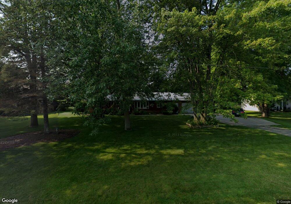
9112 E Curtis Rd Frankenmuth, MI 48734
Estimated Value: $326,555 - $366,000
3
Beds
2
Baths
1,632
Sq Ft
$211/Sq Ft
Est. Value
About This Home
This home is located at 9112 E Curtis Rd, Frankenmuth, MI 48734 and is currently estimated at $344,139, approximately $210 per square foot. 9112 E Curtis Rd is a home located in Saginaw County with nearby schools including List Elementary, E.F. Rittmueller Middle School, and Frankenmuth High School.
Ownership History
Date
Name
Owned For
Owner Type
Purchase Details
Closed on
Feb 9, 2024
Sold by
Mueller Scott R and Mueller Dawn M
Bought by
Eberhard Daniel and Eberhard Charlotte
Current Estimated Value
Home Financials for this Owner
Home Financials are based on the most recent Mortgage that was taken out on this home.
Original Mortgage
$232,000
Outstanding Balance
$227,900
Interest Rate
6.61%
Mortgage Type
New Conventional
Estimated Equity
$116,239
Purchase Details
Closed on
Feb 5, 2024
Sold by
Mueller Scott R and Mueller Dawn M
Bought by
Eberhard Daniel and Eberhard Charlotte
Home Financials for this Owner
Home Financials are based on the most recent Mortgage that was taken out on this home.
Original Mortgage
$232,000
Outstanding Balance
$227,900
Interest Rate
6.61%
Mortgage Type
New Conventional
Estimated Equity
$116,239
Purchase Details
Closed on
Jun 15, 2006
Purchase Details
Closed on
Jul 17, 1996
Create a Home Valuation Report for This Property
The Home Valuation Report is an in-depth analysis detailing your home's value as well as a comparison with similar homes in the area
Purchase History
| Date | Buyer | Sale Price | Title Company |
|---|---|---|---|
| Eberhard Daniel | $290,000 | Michigan Trusted Title | |
| Eberhard Daniel | $290,000 | Michigan Trusted Title | |
| -- | $174,000 | -- | |
| -- | $135,000 | -- |
Source: Public Records
Mortgage History
| Date | Status | Borrower | Loan Amount |
|---|---|---|---|
| Open | Eberhard Daniel | $232,000 | |
| Closed | Eberhard Daniel | $232,000 |
Source: Public Records
Tax History
| Year | Tax Paid | Tax Assessment Tax Assessment Total Assessment is a certain percentage of the fair market value that is determined by local assessors to be the total taxable value of land and additions on the property. | Land | Improvement |
|---|---|---|---|---|
| 2025 | $1,640 | $149,700 | $0 | $0 |
| 2024 | $880 | $137,000 | $0 | $0 |
| 2023 | $838 | $117,900 | $0 | $0 |
| 2022 | $2,847 | $96,600 | $0 | $0 |
| 2021 | $2,607 | $94,500 | $0 | $0 |
| 2020 | $2,543 | $86,600 | $0 | $0 |
| 2019 | $2,424 | $75,700 | $0 | $0 |
| 2018 | $731 | $79,400 | $0 | $0 |
| 2017 | $2,188 | $74,800 | $0 | $0 |
| 2016 | $2,173 | $68,300 | $0 | $0 |
| 2014 | -- | $66,700 | $0 | $57,400 |
| 2013 | -- | $68,000 | $0 | $0 |
Source: Public Records
Map
Nearby Homes
- 8980 E Curtis Rd
- 9670 Junction Rd
- 12 Wilshire Dr
- 6 Wilshire Dr Unit A6
- 2 Wilshire Dr Unit A4
- 10 Harlan Ct
- 000 W Tuscola St
- 9351 Lange Rd
- 686 Willow Ln
- 53 Pine Grove Dr
- 249 Churchgrove Rd
- 226 List St
- 456 Groveland Dr
- 11 Cambridge Park
- 235 Cherry St
- 405 Nickless St
- 1 Sunburst Ct
- 10487 Roedel Rd
- 655 Eastgate Dr
- 4705 Weiss Rd
- 9130 E Curtis Rd
- 9100 E Curtis Rd
- 9078 E Curtis Rd
- 9160 E Curtis Rd
- 9060 E Curtis Rd
- 9208 E Curtis Rd
- 9040 E Curtis Rd
- 7021 S Beyer Rd
- 9230 E Curtis Rd Unit 9232
- 7065 S Beyer Rd
- 7065 S Beyer Rd
- 7101 S Beyer Rd
- 9200 E Curtis Rd
- 9258 E Curtis Rd
- 7070 S Beyer Rd
- 7131 S Beyer Rd
- 7000 S Beyer Rd
- 7000 S Beyer Rd
- 9100 S Ronrick Place
- 9125 N Ronrick Place
Your Personal Tour Guide
Ask me questions while you tour the home.