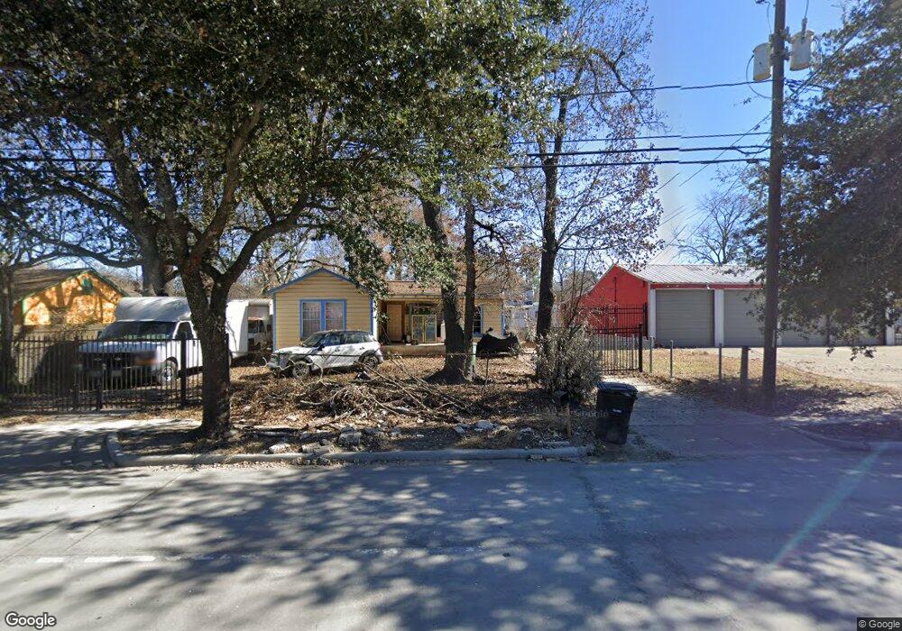
9114 Homestead Rd Houston, TX 77016
Trinity-Houston Gardens NeighborhoodEstimated Value: $131,788 - $196,000
3
Beds
1
Bath
968
Sq Ft
$171/Sq Ft
Est. Value
About This Home
This home is located at 9114 Homestead Rd, Houston, TX 77016 and is currently estimated at $165,447, approximately $170 per square foot. 9114 Homestead Rd is a home located in Harris County with nearby schools including Shadydale Elementary School, Forest Brook Middle, and North Forest High School.
Ownership History
Date
Name
Owned For
Owner Type
Purchase Details
Closed on
Feb 25, 2013
Sold by
Alexander Gregory Wayne
Bought by
Robles Aretmio Cajina and Cajina Christopher
Current Estimated Value
Home Financials for this Owner
Home Financials are based on the most recent Mortgage that was taken out on this home.
Original Mortgage
$30,000
Outstanding Balance
$21,074
Interest Rate
3.44%
Mortgage Type
New Conventional
Estimated Equity
$144,373
Purchase Details
Closed on
Sep 8, 1993
Sold by
8-11 Inc
Bought by
Alexander Gregory Wayne
Create a Home Valuation Report for This Property
The Home Valuation Report is an in-depth analysis detailing your home's value as well as a comparison with similar homes in the area
Home Values in the Area
Average Home Value in this Area
Purchase History
| Date | Buyer | Sale Price | Title Company |
|---|---|---|---|
| Robles Aretmio Cajina | -- | None Available | |
| Alexander Gregory Wayne | -- | -- |
Source: Public Records
Mortgage History
| Date | Status | Borrower | Loan Amount |
|---|---|---|---|
| Open | Robles Aretmio Cajina | $30,000 |
Source: Public Records
Tax History Compared to Growth
Tax History
| Year | Tax Paid | Tax Assessment Tax Assessment Total Assessment is a certain percentage of the fair market value that is determined by local assessors to be the total taxable value of land and additions on the property. | Land | Improvement |
|---|---|---|---|---|
| 2025 | $1,880 | $95,820 | $51,834 | $43,986 |
| 2024 | $1,880 | $95,820 | $51,834 | $43,986 |
| 2023 | $1,880 | $74,864 | $38,876 | $35,988 |
| 2022 | $1,179 | $53,562 | $25,917 | $27,645 |
| 2021 | $939 | $40,285 | $17,278 | $23,007 |
| 2020 | $892 | $36,816 | $17,278 | $19,538 |
| 2019 | $798 | $31,525 | $13,822 | $17,703 |
| 2018 | $674 | $26,623 | $13,822 | $12,801 |
| 2017 | $673 | $26,623 | $13,822 | $12,801 |
| 2016 | $541 | $21,404 | $10,799 | $10,605 |
| 2015 | $1,182 | $46,290 | $32,370 | $13,920 |
| 2014 | $1,182 | $45,967 | $32,370 | $13,597 |
Source: Public Records
Map
Nearby Homes
- 8928 Homestead Rd
- 9205 & 9207 Spaulding St
- 9227 Homestead Rd
- 9317 Homestead Rd
- 9316 Sundown Dr
- 8914 Lanewood Dr
- 6513 Laura Koppe Rd
- 9009 Compton St
- 9412 Crofton St
- 6213 Laura Koppe Rd
- 6415 Laura Koppe Rd
- 9313 Sherbourne St
- 5009 Tidwell Rd
- 6110 Tidwell Rd
- 9412 Firnat St Unit A-B
- 0 Crofton St
- 7129 Springdale St Unit A/B
- 9318 Sherbourne St
- 9437 Pembrook St
- 7321 Laura Koppe Rd
- 9118 Homestead Rd
- 9109 Kelburn Dr
- 9105 Kelburn Dr
- 9105 Kelburn Dr Unit B
- 9105 Kelburn Dr Unit A
- 9105 Kelburn Dr
- 9101 Kelburn Dr
- 9113 Homestead Rd
- 9107 Homestead Rd
- 9117 Homestead Rd
- 9009 Kelburn Dr
- 9112 Kelburn Dr
- 9001 Kelburn Dr
- 9213 Kelburn Dr
- 9108 Kelburn Dr
- 6610 Firnat St
- 9202 Kelburn Dr
- 9012 Kelburn Dr
- 9012 Kelburn Dr
- 9008 Kelburn Dr