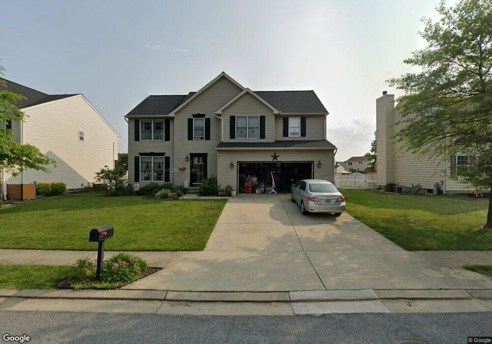
9115 Cove Point Rd Sparrows Point, MD 21219
Estimated Value: $465,000 - $556,000
--
Bed
3
Baths
2,200
Sq Ft
$225/Sq Ft
Est. Value
About This Home
This home is located at 9115 Cove Point Rd, Sparrows Point, MD 21219 and is currently estimated at $495,826, approximately $225 per square foot. 9115 Cove Point Rd is a home located in Baltimore County with nearby schools including Edgemere Elementary School, Sparrows Point Middle School, and Sparrows Point High School.
Ownership History
Date
Name
Owned For
Owner Type
Purchase Details
Closed on
Jun 17, 2003
Sold by
Cecil Allan W
Bought by
Holt Mark A and Holt Diane J
Current Estimated Value
Purchase Details
Closed on
Oct 13, 1999
Sold by
Florio Ermanno
Bought by
Cecil Allan W and Cecil Marie C
Purchase Details
Closed on
Oct 6, 1998
Sold by
Beachwood Estates L L C
Bought by
Florio Ermanno
Create a Home Valuation Report for This Property
The Home Valuation Report is an in-depth analysis detailing your home's value as well as a comparison with similar homes in the area
Home Values in the Area
Average Home Value in this Area
Purchase History
| Date | Buyer | Sale Price | Title Company |
|---|---|---|---|
| Holt Mark A | $256,900 | -- | |
| Cecil Allan W | $62,000 | -- | |
| Florio Ermanno | $64,000 | -- |
Source: Public Records
Tax History Compared to Growth
Tax History
| Year | Tax Paid | Tax Assessment Tax Assessment Total Assessment is a certain percentage of the fair market value that is determined by local assessors to be the total taxable value of land and additions on the property. | Land | Improvement |
|---|---|---|---|---|
| 2025 | $5,723 | $372,967 | -- | -- |
| 2024 | $5,723 | $346,333 | $0 | $0 |
| 2023 | $2,816 | $319,700 | $102,000 | $217,700 |
| 2022 | $5,385 | $315,400 | $0 | $0 |
| 2021 | $4,961 | $311,100 | $0 | $0 |
| 2020 | $4,961 | $306,800 | $102,000 | $204,800 |
| 2019 | $5,222 | $304,133 | $0 | $0 |
| 2018 | $5,191 | $301,467 | $0 | $0 |
| 2017 | $4,892 | $298,800 | $0 | $0 |
| 2016 | $3,860 | $292,067 | $0 | $0 |
| 2015 | $3,860 | $285,333 | $0 | $0 |
| 2014 | $3,860 | $278,600 | $0 | $0 |
Source: Public Records
Map
Nearby Homes
- 9106 Wise Avenue Ext
- 6510 N Point Rd
- 3116 River Drive Rd
- 6931 River Drive Rd
- 6913 River Drive Rd
- 3207 Whiteway Rd
- 1815 John Stricker Ave
- 1813 John Stricker Ave
- 1803 John Stricker Ave
- 1701 Kirkland Rd
- 1810 John Stricker Ave
- 1802 John Stricker Ave
- 1804 John Stricker Ave
- 1808 John Stricker Ave
- 1824 John Stricker Ave
- 1826 John Stricker Ave
- 1822 John Stricker Ave
- 3118 Lynch Rd
- Chesapeake Plan at The Cove at Sparrows Point Country Club
- Cambridge Plan at The Cove at Sparrows Point Country Club
- 9117 Cove Point Rd
- 9113 Cove Point Rd
- 4 Coral Ct
- 9119 Cove Point Rd
- 6 Coral Ct
- 9111 Cove Point Rd
- 9116 Cove Point Rd
- 2 Coral Ct
- 9114 Cove Point Rd
- 9118 Cove Point Rd
- 9112 Cove Point Rd
- 7 Coral Ct
- 4539 Sandwood Rd
- 9110 Cove Point Rd
- 4600 Sandwood Rd
- 4602 Sandwood Rd
- 13 Oyster Ct
- 15 Oyster Ct
- 11 Oyster Ct
- 4841 Greencove Cir