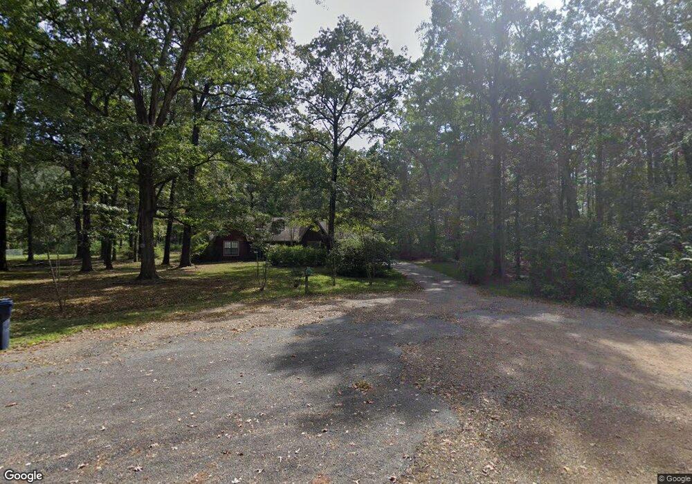
9115 Shady Dr Pine Bluff, AR 71603
Estimated Value: $146,000 - $233,000
--
Bed
2
Baths
2,056
Sq Ft
$93/Sq Ft
Est. Value
About This Home
This home is located at 9115 Shady Dr, Pine Bluff, AR 71603 and is currently estimated at $191,928, approximately $93 per square foot. 9115 Shady Dr is a home located in Jefferson County with nearby schools including Matthews Elementary School, Jack Robey Junior High School, and Pine Bluff High School.
Ownership History
Date
Name
Owned For
Owner Type
Purchase Details
Closed on
Jun 13, 2001
Bought by
Johnson Randy L
Current Estimated Value
Purchase Details
Closed on
Jun 2, 1994
Bought by
Johnson Randy L and Johnson Wf
Purchase Details
Closed on
Dec 20, 1991
Bought by
Gentry M'Leah Mcbryde
Purchase Details
Closed on
May 31, 1990
Bought by
Gentry Barry L and Gentry Wf
Purchase Details
Closed on
Jan 4, 1984
Bought by
Burford Billy W and Burford Wf
Create a Home Valuation Report for This Property
The Home Valuation Report is an in-depth analysis detailing your home's value as well as a comparison with similar homes in the area
Home Values in the Area
Average Home Value in this Area
Purchase History
| Date | Buyer | Sale Price | Title Company |
|---|---|---|---|
| Johnson Randy L | -- | -- | |
| Johnson Randy L | $79,000 | -- | |
| Gentry M'Leah Mcbryde | -- | -- | |
| Gentry Barry L | $79,000 | -- | |
| Burford Billy W | -- | -- |
Source: Public Records
Tax History Compared to Growth
Tax History
| Year | Tax Paid | Tax Assessment Tax Assessment Total Assessment is a certain percentage of the fair market value that is determined by local assessors to be the total taxable value of land and additions on the property. | Land | Improvement |
|---|---|---|---|---|
| 2025 | $842 | $35,820 | $1,160 | $34,660 |
| 2024 | $942 | $35,820 | $1,160 | $34,660 |
| 2023 | $1,017 | $35,820 | $1,160 | $34,660 |
| 2022 | $916 | $25,140 | $1,200 | $23,940 |
| 2021 | $916 | $25,140 | $1,200 | $23,940 |
| 2020 | $916 | $25,140 | $1,200 | $23,940 |
| 2019 | $916 | $25,140 | $1,200 | $23,940 |
| 2018 | $941 | $25,140 | $1,200 | $23,940 |
| 2017 | $1,027 | $26,810 | $1,200 | $25,610 |
| 2016 | $1,027 | $26,810 | $1,200 | $25,610 |
| 2015 | $1,020 | $26,810 | $1,200 | $25,610 |
| 2014 | -- | $26,810 | $1,200 | $25,610 |
Source: Public Records
Map
Nearby Homes
- 190 Peregrine Dr
- 309 Ritchwood Dr
- 1508 Red Oak Ln
- 00 Dixon Ln
- 9211 Meadowood Ln
- 1003 Fairway Dr
- 0 Rosswood Rd
- 10 Deer Horn Cove
- 2205 Foxborough Cove
- 1106 Deer Run N
- 7796 Coachlight Dr
- 000 Gibb Anderson Rd Unit LotWP001
- 000 Gibb Anderson Rd
- 6600 S Mulberry St
- 7 Summerset Place
- 4440 Divoky Rd
- 4512 Diovky Rd
- 10520 Quail Meadows
- 0 Brinkley Rd
- 1406 Ridgway Rd
- 9111 Shady Dr
- 9118 Shady Dr
- 9107 Shady Dr
- 9103 Shady Dr
- 900 W Pleasant Dr
- 9104 Shady Dr
- 9015 Shady Dr
- 9014 Shady Dr
- 9106 Mosswood Dr
- 9020 S Pleasant Dr
- 9011 Mosswood Dr
- 9111 Crows Nest Dr
- 9017 S Pleasant Dr
- 1108 W Pleasant Dr
- TBD Shady Dr
- 9010 Mosswood Dr
- 9008 Us Highway 63
- 9400 Us Highway 63
- 9015 Crows Nest Dr
- 1118 W Pleasant Dr