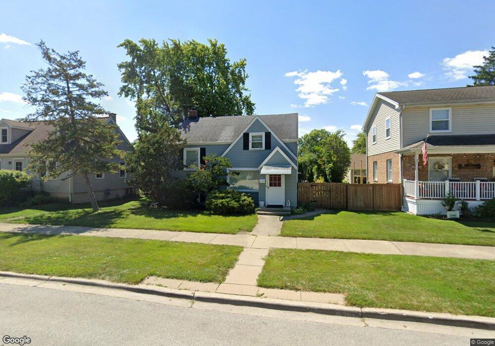
9117 30th St Brookfield, IL 60513
Estimated Value: $272,000 - $324,000
3
Beds
1
Bath
887
Sq Ft
$336/Sq Ft
Est. Value
About This Home
This home is located at 9117 30th St, Brookfield, IL 60513 and is currently estimated at $298,035, approximately $336 per square foot. 9117 30th St is a home located in Cook County with nearby schools including S. E. Gross Middle School, Brook Park Elementary School, and Riverside Brookfield High School.
Ownership History
Date
Name
Owned For
Owner Type
Purchase Details
Closed on
Oct 23, 2017
Sold by
Bednar James F
Bought by
Altorio Paul D
Current Estimated Value
Home Financials for this Owner
Home Financials are based on the most recent Mortgage that was taken out on this home.
Original Mortgage
$174,600
Outstanding Balance
$145,500
Interest Rate
4%
Mortgage Type
New Conventional
Estimated Equity
$152,535
Purchase Details
Closed on
Jul 30, 1998
Sold by
Schneider Francis R and Schneider Nancy M
Bought by
Keen John D and Keen Kathleen M
Home Financials for this Owner
Home Financials are based on the most recent Mortgage that was taken out on this home.
Original Mortgage
$134,000
Interest Rate
7.03%
Create a Home Valuation Report for This Property
The Home Valuation Report is an in-depth analysis detailing your home's value as well as a comparison with similar homes in the area
Home Values in the Area
Average Home Value in this Area
Purchase History
| Date | Buyer | Sale Price | Title Company |
|---|---|---|---|
| Altorio Paul D | $194,000 | Attorney | |
| Keen John D | -- | Chicago Title Insurance Co |
Source: Public Records
Mortgage History
| Date | Status | Borrower | Loan Amount |
|---|---|---|---|
| Open | Altorio Paul D | $174,600 | |
| Previous Owner | Keen John D | $134,000 |
Source: Public Records
Tax History
| Year | Tax Paid | Tax Assessment Tax Assessment Total Assessment is a certain percentage of the fair market value that is determined by local assessors to be the total taxable value of land and additions on the property. | Land | Improvement |
|---|---|---|---|---|
| 2025 | $3,514 | $11,500 | $2,192 | $9,308 |
| 2024 | $3,514 | $11,500 | $2,192 | $9,308 |
| 2023 | $3,780 | $11,500 | $2,192 | $9,308 |
| 2022 | $3,780 | $10,784 | $1,879 | $8,905 |
| 2021 | $3,686 | $10,783 | $1,878 | $8,905 |
| 2020 | $3,635 | $10,783 | $1,878 | $8,905 |
| 2019 | $3,864 | $11,514 | $1,722 | $9,792 |
| 2018 | $3,709 | $11,514 | $1,722 | $9,792 |
| 2017 | $4,019 | $11,514 | $1,722 | $9,792 |
| 2016 | $2,963 | $7,960 | $1,565 | $6,395 |
| 2015 | $2,848 | $7,960 | $1,565 | $6,395 |
| 2014 | $2,807 | $7,960 | $1,565 | $6,395 |
| 2013 | $2,630 | $9,299 | $1,565 | $7,734 |
Source: Public Records
Map
Nearby Homes
- 3108 Oak Ave
- 1106 Alima Terrace
- 2945 Vernon Ave
- 3229 Maple Ave
- 3236 Park Ave
- 1424 N Maple Ave
- 9120 26th Place
- 3321 Harrison Ave
- 1140 Blanchan Ave
- 9501 Jackson Ave
- 9516 Jackson Ave
- 3545 Oak Ave
- 1020 Newberry Ave
- 9512 Jefferson Ave
- 2322 S 17th Ave Unit 5
- 9546 Washington Ave
- 2310 S 17th Ave
- 2334 S 10th Ave
- 3701 Madison Ave
- 2263 S 14th Ave
Your Personal Tour Guide
Ask me questions while you tour the home.