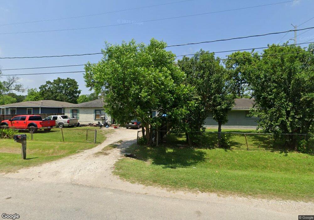
9117 Spaulding St Houston, TX 77016
Trinity-Houston Gardens NeighborhoodEstimated Value: $131,745 - $188,000
2
Beds
1
Bath
792
Sq Ft
$186/Sq Ft
Est. Value
About This Home
This home is located at 9117 Spaulding St, Houston, TX 77016 and is currently estimated at $147,186, approximately $185 per square foot. 9117 Spaulding St is a home located in Harris County with nearby schools including Felix Cook Jr. Elementary School, Key Middle, and Kashmere High School.
Ownership History
Date
Name
Owned For
Owner Type
Purchase Details
Closed on
May 19, 2008
Sold by
Ramirez Maritza
Bought by
Torres Rodrigo and Torres Marisela
Current Estimated Value
Purchase Details
Closed on
Apr 18, 2008
Sold by
Manuel James
Bought by
Ramirez Maritza P
Purchase Details
Closed on
Aug 31, 2007
Sold by
Lewis M
Bought by
Manuel J D
Purchase Details
Closed on
Aug 31, 2005
Sold by
Lewis Paul D
Bought by
Lewis M
Purchase Details
Closed on
Nov 22, 1996
Sold by
Lewis Barbara Ann
Bought by
Lewis Paul Dinand
Create a Home Valuation Report for This Property
The Home Valuation Report is an in-depth analysis detailing your home's value as well as a comparison with similar homes in the area
Home Values in the Area
Average Home Value in this Area
Purchase History
| Date | Buyer | Sale Price | Title Company |
|---|---|---|---|
| Torres Rodrigo | -- | None Available | |
| Ramirez Maritza P | -- | None Available | |
| Manuel J D | -- | None Available | |
| Lewis M | -- | None Available | |
| Lewis Paul Dinand | -- | -- |
Source: Public Records
Tax History Compared to Growth
Tax History
| Year | Tax Paid | Tax Assessment Tax Assessment Total Assessment is a certain percentage of the fair market value that is determined by local assessors to be the total taxable value of land and additions on the property. | Land | Improvement |
|---|---|---|---|---|
| 2025 | $2,260 | $108,031 | $51,795 | $56,236 |
| 2024 | $2,260 | $108,031 | $51,795 | $56,236 |
| 2023 | $2,121 | $105,293 | $38,846 | $66,447 |
| 2022 | $1,825 | $82,888 | $25,898 | $56,990 |
| 2021 | $1,577 | $67,670 | $17,265 | $50,405 |
| 2020 | $1,520 | $62,749 | $17,265 | $45,484 |
| 2019 | $1,450 | $57,298 | $13,812 | $43,486 |
| 2018 | $1,282 | $50,670 | $13,812 | $36,858 |
| 2017 | $1,281 | $50,670 | $13,812 | $36,858 |
| 2016 | $1,122 | $44,390 | $10,791 | $33,599 |
| 2015 | $1,074 | $41,771 | $9,927 | $31,844 |
| 2014 | $1,074 | $41,771 | $9,927 | $31,844 |
Source: Public Records
Map
Nearby Homes
- 9205 & 9207 Spaulding St
- 8914 Lanewood Dr
- 9009 Compton St
- 9227 Homestead Rd
- 9317 Homestead Rd
- 8928 Homestead Rd
- 6415 Laura Koppe Rd
- 5009 Tidwell Rd
- 6110 Tidwell Rd
- 6513 Laura Koppe Rd
- 8504 Shady Dr
- 6226 E Tidwell Rd
- 9316 Sundown Dr
- 6320 Laura Koppe Rd
- 6206 Antha St
- 6213 Laura Koppe Rd
- 8700 Lanewood Dr
- 9412 Crofton St
- 7129 Springdale St Unit A/B
- 0 Crofton St
- 6514 Firnat St
- 9105 Spaulding St
- 9108 Lanewood Dr
- 6502 Firnat St
- 9112 Lanewood Dr
- 9118 Spaulding St
- 9101 Spaulding St
- 9122 Spaulding St
- 9106 Lanewood Dr
- 9202 Lanewood Dr
- 9023 Spaulding St
- 9207 Spaulding St
- 9205 Spaulding St
- 0 Spaulding St Unit 77242044
- 0 Spaulding St Unit 45695097
- 0 Spaulding St Unit 52029068
- 9104 Lanewood Dr
- 9102 Spaulding St
- 6610 Firnat St
- 9021 Spaulding St