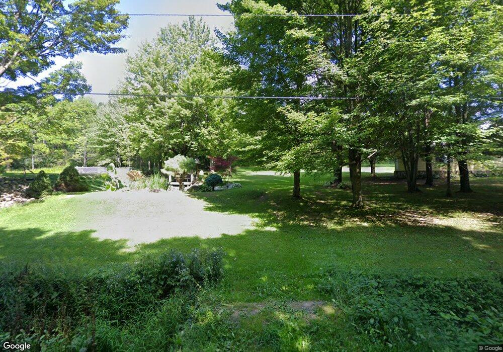
9118 Wallace Rd Arkport, NY 14807
Estimated Value: $141,000 - $221,120
2
Beds
2
Baths
1,300
Sq Ft
$145/Sq Ft
Est. Value
About This Home
This home is located at 9118 Wallace Rd, Arkport, NY 14807 and is currently estimated at $188,530, approximately $145 per square foot. 9118 Wallace Rd is a home with nearby schools including Arkport Central School.
Ownership History
Date
Name
Owned For
Owner Type
Purchase Details
Closed on
Jun 6, 2011
Sold by
Flint Darwin
Bought by
Moore Jeffrey
Current Estimated Value
Home Financials for this Owner
Home Financials are based on the most recent Mortgage that was taken out on this home.
Original Mortgage
$60,000
Outstanding Balance
$41,787
Interest Rate
4.85%
Mortgage Type
Purchase Money Mortgage
Estimated Equity
$146,743
Purchase Details
Closed on
Dec 18, 2009
Sold by
Flint Darwin
Bought by
Moore Brian
Create a Home Valuation Report for This Property
The Home Valuation Report is an in-depth analysis detailing your home's value as well as a comparison with similar homes in the area
Home Values in the Area
Average Home Value in this Area
Purchase History
| Date | Buyer | Sale Price | Title Company |
|---|---|---|---|
| Moore Jeffrey | $80,000 | David Shults | |
| Moore Brian | $1,000 | John N Dagon |
Source: Public Records
Mortgage History
| Date | Status | Borrower | Loan Amount |
|---|---|---|---|
| Open | Moore Jeffrey | $60,000 |
Source: Public Records
Tax History Compared to Growth
Tax History
| Year | Tax Paid | Tax Assessment Tax Assessment Total Assessment is a certain percentage of the fair market value that is determined by local assessors to be the total taxable value of land and additions on the property. | Land | Improvement |
|---|---|---|---|---|
| 2024 | $4,242 | $132,000 | $42,600 | $89,400 |
| 2023 | $4,242 | $132,000 | $42,600 | $89,400 |
| 2022 | $2,232 | $69,500 | $42,600 | $26,900 |
| 2021 | $2,316 | $63,700 | $38,600 | $25,100 |
| 2020 | $2,232 | $63,700 | $38,600 | $25,100 |
| 2019 | $2,234 | $63,700 | $38,600 | $25,100 |
| 2018 | $2,234 | $63,700 | $38,600 | $25,100 |
| 2017 | $2,287 | $63,700 | $36,800 | $26,900 |
| 2016 | $2,314 | $63,700 | $36,800 | $26,900 |
| 2015 | -- | $63,700 | $36,800 | $26,900 |
| 2014 | -- | $63,700 | $36,800 | $26,900 |
Source: Public Records
Map
Nearby Homes
- 0 County Route 46 Unit S1627490
- County Road 46
- 9268 County Route 46
- 1189 Willey Rd
- 9069 Oak Hill Rd
- 1770 County Route 50
- 9539 Bronson Rd
- 8235 Cream Hill Rd
- 9392 Bronson Rd
- 8231 Cream Hill Rd
- 14 Meadowbrook Rd
- 1 West Ave
- 1263 Phelps Dr
- 10 West Ave
- 34 West Ave
- 8018 State Route 36
- 7978 New York 36
- 657 County Route 67
- 0 Hornell Reservoir Rd
- 10402 County Route 46
- 9116 Wallace Rd
- 9112 Wallace Rd
- 9113 Wallace Rd
- 1405 County Route 53
- 1400 County Route 53
- 1420 County Route 53
- 9120 Wallace Rd
- 1336 County Route 53
- 9252 Stage Rd
- 1491 Dyer Rd
- 1320 County Route 53
- 0 Dyer Rd
- 1494 Dyer Rd
- 1520 Dyer Rd
- 1521 County Route 53
- 1402 Dyer Rd
- 9292 Stage Rd
- 9154 Strobel Rd
- 1343 Dyer Rd
- 9171 Strobel Rd
