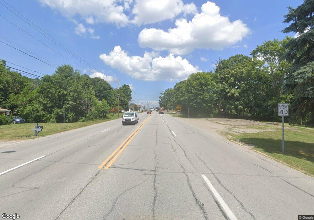
9119 N Mccord St McCordsville, IN 46055
Greenfield NeighborhoodEstimated Value: $306,000 - $330,000
3
Beds
2
Baths
1,522
Sq Ft
$211/Sq Ft
Est. Value
About This Home
This home is located at 9119 N Mccord St, McCordsville, IN 46055 and is currently estimated at $320,562, approximately $210 per square foot. 9119 N Mccord St is a home located in Hancock County with nearby schools including McCordsville Elementary School, Mt. Vernon Middle School, and Mt. Vernon High School.
Ownership History
Date
Name
Owned For
Owner Type
Purchase Details
Closed on
Apr 12, 2016
Sold by
Maier Richard P
Bought by
Maier Family Propertles Llc
Current Estimated Value
Purchase Details
Closed on
Mar 18, 2016
Sold by
Maier Antonete A
Bought by
Maier Richard P
Purchase Details
Closed on
Jun 1, 2006
Sold by
Graham Michael S
Bought by
Maier Richard P and Maier Antonette A
Purchase Details
Closed on
Aug 10, 2005
Sold by
Crowe Jill L
Bought by
Graham Michael S
Create a Home Valuation Report for This Property
The Home Valuation Report is an in-depth analysis detailing your home's value as well as a comparison with similar homes in the area
Home Values in the Area
Average Home Value in this Area
Purchase History
| Date | Buyer | Sale Price | Title Company |
|---|---|---|---|
| Maier Family Propertles Llc | -- | None Available | |
| Maier Richard P | -- | None Available | |
| Maier Richard P | -- | -- | |
| Graham Michael S | -- | -- |
Source: Public Records
Tax History Compared to Growth
Tax History
| Year | Tax Paid | Tax Assessment Tax Assessment Total Assessment is a certain percentage of the fair market value that is determined by local assessors to be the total taxable value of land and additions on the property. | Land | Improvement |
|---|---|---|---|---|
| 2024 | $2,550 | $260,500 | $60,100 | $200,400 |
| 2023 | $2,550 | $230,600 | $60,100 | $170,500 |
| 2022 | $1,870 | $175,100 | $40,100 | $135,000 |
| 2021 | $1,602 | $161,000 | $40,100 | $120,900 |
| 2020 | $1,521 | $152,900 | $40,100 | $112,800 |
| 2019 | $1,121 | $145,800 | $40,100 | $105,700 |
| 2018 | $1,145 | $148,600 | $40,100 | $108,500 |
| 2017 | $1,203 | $143,300 | $40,100 | $103,200 |
| 2016 | $1,079 | $140,700 | $40,100 | $100,600 |
| 2014 | $2,935 | $139,000 | $40,100 | $98,900 |
| 2013 | $2,935 | $141,600 | $40,100 | $101,500 |
Source: Public Records
Map
Nearby Homes
- Grant Plan at The Preserve at Brookside
- Eisenhower Plan at The Preserve at Brookside
- Cleveland Plan at The Preserve at Brookside
- Pennington Plan at The Preserve at Brookside
- Montgomery Plan at The Preserve at Brookside
- Mckinley Plan at The Preserve at Brookside
- Lincoln Plan at The Preserve at Brookside
- Dean Plan at The Preserve at Brookside
- 6890 Enclave Dr
- 6348 W 750 N
- 7904 N 600 W
- 7410 Broadview Ln
- 7351 Bayview Run
- 7347 Bayview Run
- 7343 Bayview Run Unit 11-604
- 7339 Bayview Run
- 7294 Broadview Ln
- 7333 Bayview Run
- 7308 Broadview Ln
- 7317 Bayview Run
- 6246 W Broadway
- 6214 W Broadway
- 6177 W Pendleton Pike
- 6188 W Broadway
- 6177 W Broadway
- 7668 N Center St
- 7639 N Mccord St
- 6288 W Broadway Unit W
- 6288 W Broadway
- 7634 N Center St
- 6168 W Broadway
- 6168 W Broadway
- 7617 Mccord St
- 7696 Depot St
- 6238 N Railroad St
- 7617 N Mccord St
- 7701 N Center St
- 7615 Form St
- 7691 N Center St
- 7673 N Center St
