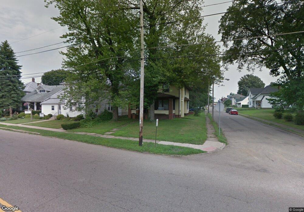
912 Amherst Rd NE Massillon, OH 44646
Downtown Massillon NeighborhoodEstimated Value: $144,000 - $201,000
4
Beds
2
Baths
2,184
Sq Ft
$76/Sq Ft
Est. Value
About This Home
This home is located at 912 Amherst Rd NE, Massillon, OH 44646 and is currently estimated at $166,597, approximately $76 per square foot. 912 Amherst Rd NE is a home located in Stark County with nearby schools including Massillon Intermediate School, Massillon Junior High School, and Washington High School.
Ownership History
Date
Name
Owned For
Owner Type
Purchase Details
Closed on
Feb 28, 2003
Sold by
John Rogell Eugene and John Roberta R
Bought by
Fain Brian S and Fain Lena M
Current Estimated Value
Home Financials for this Owner
Home Financials are based on the most recent Mortgage that was taken out on this home.
Original Mortgage
$77,200
Interest Rate
6.07%
Mortgage Type
Purchase Money Mortgage
Create a Home Valuation Report for This Property
The Home Valuation Report is an in-depth analysis detailing your home's value as well as a comparison with similar homes in the area
Home Values in the Area
Average Home Value in this Area
Purchase History
| Date | Buyer | Sale Price | Title Company |
|---|---|---|---|
| Fain Brian S | $96,500 | Quest Title Agency Inc |
Source: Public Records
Mortgage History
| Date | Status | Borrower | Loan Amount |
|---|---|---|---|
| Closed | Fain Brian S | $77,200 |
Source: Public Records
Tax History Compared to Growth
Tax History
| Year | Tax Paid | Tax Assessment Tax Assessment Total Assessment is a certain percentage of the fair market value that is determined by local assessors to be the total taxable value of land and additions on the property. | Land | Improvement |
|---|---|---|---|---|
| 2025 | -- | $44,840 | $8,230 | $36,610 |
| 2024 | -- | $44,840 | $8,230 | $36,610 |
| 2023 | $2,575 | $33,530 | $7,350 | $26,180 |
| 2022 | $1,718 | $33,530 | $7,350 | $26,180 |
| 2021 | $1,746 | $33,530 | $7,350 | $26,180 |
| 2020 | $1,738 | $31,400 | $6,550 | $24,850 |
| 2019 | $1,713 | $31,410 | $6,550 | $24,860 |
| 2018 | $1,703 | $31,410 | $6,550 | $24,860 |
| 2017 | $1,658 | $28,570 | $5,010 | $23,560 |
| 2016 | $1,619 | $27,420 | $5,010 | $22,410 |
| 2015 | $1,599 | $27,420 | $5,010 | $22,410 |
| 2014 | $1,633 | $27,070 | $4,940 | $22,130 |
| 2013 | $821 | $27,070 | $4,940 | $22,130 |
Source: Public Records
Map
Nearby Homes
- 418 Korman Ave NE
- 739 Vogel Ave NE
- 1023 Roosevelt St NE
- 819 Irvington Ave NE
- 742 Sheffield Ave NE
- 827 9th St NE
- 834 9th St NE
- 888 Seneca St NE
- 1204 2nd St NE
- 715 3rd St NE
- Aviano Plan at Julian Courtyards
- Bramante Plan at Julian Courtyards
- Savannah Plan at Julian Courtyards
- Cumberland Plan at Julian Courtyards
- Lot 31 Marys Way Ave NW
- Lot 40 Joyce Ave NW
- 1112 State Ave NE
- 932 Wales Rd NE
- 712 Harmon Place NE
- 1012 Federal Ave NE
- 918 Amherst Rd NE
- 922 Amherst Rd NE
- 909 Amherst Rd NE
- 905 Amherst Rd NE
- 915 Amherst Rd NE
- 419 Mader Ct NE
- 926 Amherst Rd NE
- 414 Mader Ct NE
- 722 Commonwealth Ave NE
- 723 Commonwealth Ave NE
- 897 Amherst Rd NE
- 408 Commonwealth Ave NE
- 728 Commonwealth Ave NE
- 918 4th St NE
- 889 Amherst Rd NE
- 922 4th St NE
- 731 Commonwealth Ave NE
- 404 Commonwealth Ave NE
- 937 Amherst Rd NE
- 937 Amherst Rd NE