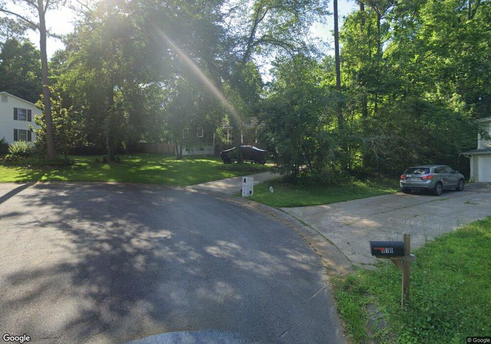
912 Andover Ct Unit 2 Woodstock, GA 30188
Union Hill NeighborhoodEstimated Value: $396,000 - $407,309
3
Beds
2
Baths
2,212
Sq Ft
$182/Sq Ft
Est. Value
About This Home
This home is located at 912 Andover Ct Unit 2, Woodstock, GA 30188 and is currently estimated at $401,655, approximately $181 per square foot. 912 Andover Ct Unit 2 is a home located in Cherokee County with nearby schools including Arnold Mill Elementary School, Mill Creek Middle School, and River Ridge High School.
Ownership History
Date
Name
Owned For
Owner Type
Purchase Details
Closed on
Jan 23, 2023
Sold by
Gonzalez Jose E
Bought by
Gonzalez Jose E and Olvera Guadalupe
Current Estimated Value
Purchase Details
Closed on
Dec 7, 2018
Sold by
Gonzalez Damian
Bought by
Gonzalez Jose E
Purchase Details
Closed on
Feb 20, 2004
Sold by
Murphy Cheryl L and Murphy David L
Bought by
Gonzalez Damian
Home Financials for this Owner
Home Financials are based on the most recent Mortgage that was taken out on this home.
Original Mortgage
$141,500
Interest Rate
5.63%
Mortgage Type
New Conventional
Create a Home Valuation Report for This Property
The Home Valuation Report is an in-depth analysis detailing your home's value as well as a comparison with similar homes in the area
Home Values in the Area
Average Home Value in this Area
Purchase History
| Date | Buyer | Sale Price | Title Company |
|---|---|---|---|
| Gonzalez Jose E | -- | -- | |
| Gonzalez Jose E | -- | -- | |
| Gonzalez Damian | $145,900 | -- |
Source: Public Records
Mortgage History
| Date | Status | Borrower | Loan Amount |
|---|---|---|---|
| Previous Owner | Gonzalez Damian | $141,500 |
Source: Public Records
Tax History Compared to Growth
Tax History
| Year | Tax Paid | Tax Assessment Tax Assessment Total Assessment is a certain percentage of the fair market value that is determined by local assessors to be the total taxable value of land and additions on the property. | Land | Improvement |
|---|---|---|---|---|
| 2024 | $3,574 | $137,536 | $30,000 | $107,536 |
| 2023 | $3,613 | $139,016 | $30,000 | $109,016 |
| 2022 | $3,207 | $122,016 | $23,200 | $98,816 |
| 2021 | $2,805 | $98,816 | $18,000 | $80,816 |
| 2020 | $2,602 | $91,576 | $15,200 | $76,376 |
| 2019 | $2,341 | $82,400 | $15,200 | $67,200 |
| 2018 | $2,149 | $75,160 | $15,200 | $59,960 |
| 2017 | $1,913 | $177,700 | $15,200 | $55,880 |
| 2016 | $1,913 | $164,300 | $11,200 | $54,520 |
| 2015 | $1,847 | $157,100 | $11,200 | $51,640 |
| 2014 | $1,565 | $132,800 | $11,200 | $41,920 |
Source: Public Records
Map
Nearby Homes
- 112 Sunnybrook Ln
- 217 Sweetbriar Club Dr
- 806 Westover Ct
- 120 Sweetbriar Farm Rd
- 436 Silver Brook Dr
- 499 Bishop Ln
- 2875 Trickum Rd
- 102 River Marsh Ln
- 0 O Hara Dr Unit 8443973
- 0 O Hara Dr Unit 6064833
- 104 River Creek Dr
- 454 Silver Brook Dr
- 112 River Marsh Ln
- 2209 River Woods Way
- 711 Woodbridge Dr
- 5090 Eubanks Rd
- 120 Farm Gate Dr
- 303 Council Bluff
- 910 Andover Ct
- 124 Farmington Dr
- 916 Andover Ct
- 122 Farmington Dr
- 126 Farmington Dr Unit 2
- 128 Farmington Dr
- 130 Farmington Dr
- 908 Andover Ct
- 917 Andover Ct
- 120 Farmington Dr
- 915 Andover Ct
- 132 Farmington Dr
- 906 Andover Ct
- 913 Andover Ct
- 118 Farmington Dr Unit 1
- 135 Farmington Dr
- 131 Farmington Dr Unit 2
- 133 Farmington Dr
- 129 Farmington Dr
- 137 Farmington Dr