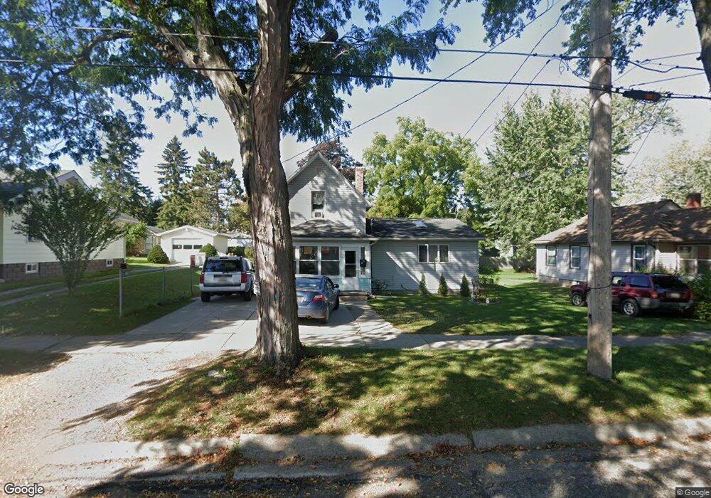
912 Bush St Unit BUSH Jackson, MI 49202
Bennett NeighborhoodEstimated Value: $108,000 - $146,000
3
Beds
2
Baths
1,368
Sq Ft
$97/Sq Ft
Est. Value
About This Home
This home is located at 912 Bush St Unit BUSH, Jackson, MI 49202 and is currently estimated at $133,317, approximately $97 per square foot. 912 Bush St Unit BUSH is a home located in Jackson County with nearby schools including Hunt Elementary School, Middle School at Parkside, and Jackson High School.
Ownership History
Date
Name
Owned For
Owner Type
Purchase Details
Closed on
Apr 15, 2010
Sold by
Bac Home Loans Servicing L P
Bought by
The Secretary Of Housing & Urban Develop
Current Estimated Value
Purchase Details
Closed on
Jul 8, 2003
Sold by
Gale Wendy A
Bought by
Risinger Gregory J
Home Financials for this Owner
Home Financials are based on the most recent Mortgage that was taken out on this home.
Original Mortgage
$88,608
Interest Rate
5.3%
Mortgage Type
FHA
Create a Home Valuation Report for This Property
The Home Valuation Report is an in-depth analysis detailing your home's value as well as a comparison with similar homes in the area
Home Values in the Area
Average Home Value in this Area
Purchase History
| Date | Buyer | Sale Price | Title Company |
|---|---|---|---|
| The Secretary Of Housing & Urban Develop | -- | None Available | |
| Risinger Gregory J | $89,900 | -- |
Source: Public Records
Mortgage History
| Date | Status | Borrower | Loan Amount |
|---|---|---|---|
| Previous Owner | Risinger Gregory J | $88,608 |
Source: Public Records
Tax History Compared to Growth
Tax History
| Year | Tax Paid | Tax Assessment Tax Assessment Total Assessment is a certain percentage of the fair market value that is determined by local assessors to be the total taxable value of land and additions on the property. | Land | Improvement |
|---|---|---|---|---|
| 2025 | $1,550 | $53,400 | $0 | $0 |
| 2024 | $1,266 | $50,300 | $0 | $0 |
| 2023 | $1,218 | $44,600 | $0 | $0 |
| 2022 | $1,421 | $39,200 | $0 | $0 |
| 2021 | $1,417 | $33,200 | $0 | $0 |
| 2020 | $1,403 | $35,400 | $0 | $0 |
| 2019 | $1,361 | $33,050 | $0 | $0 |
| 2018 | $1,285 | $28,450 | $0 | $0 |
| 2017 | $1,149 | $27,200 | $0 | $0 |
| 2016 | $932 | $30,500 | $30,500 | $0 |
| 2015 | $1,065 | $28,650 | $28,650 | $0 |
| 2014 | $1,065 | $26,250 | $0 | $0 |
| 2013 | -- | $26,250 | $26,250 | $0 |
Source: Public Records
Map
Nearby Homes
- 836 Lincoln St
- 828 Backus St
- 939 Backus St
- 1105 Clinton Rd
- 713 Webb St
- 612 Bush St
- 804 Hibbard Ave
- 613 Backus St
- 821 N Wisner St
- 606 Center St
- 623 Steward Ave
- 431 Madison St
- 611 Steward Ave
- 951 W Monroe St St
- 521 Oakhill Ave
- 419 W Ganson St
- 515 W Trail St
- 1015 N Blackstone St
- 313 Taylor St
- 503 W Trail St