912 Coast Guard Rd Block Island, RI 02807
Estimated Value: $3,500,434 - $5,444,000
3
Beds
2
Baths
3,286
Sq Ft
$1,361/Sq Ft
Est. Value
About This Home
This home is located at 912 Coast Guard Rd, Block Island, RI 02807 and is currently estimated at $4,472,217, approximately $1,360 per square foot. 912 Coast Guard Rd is a home located in Washington County with nearby schools including Block Island School.
Ownership History
Date
Name
Owned For
Owner Type
Purchase Details
Closed on
Jan 27, 2025
Sold by
Filippi Paul C and Filippi Blake A
Bought by
Filippi Paul C
Current Estimated Value
Purchase Details
Closed on
Apr 11, 2019
Sold by
Filippi Marion C
Bought by
Filippi Paul C and Filippi Blake A
Home Financials for this Owner
Home Financials are based on the most recent Mortgage that was taken out on this home.
Original Mortgage
$500,000
Interest Rate
4.3%
Mortgage Type
New Conventional
Purchase Details
Closed on
Oct 1, 1987
Bought by
Filippi Marion
Create a Home Valuation Report for This Property
The Home Valuation Report is an in-depth analysis detailing your home's value as well as a comparison with similar homes in the area
Home Values in the Area
Average Home Value in this Area
Purchase History
| Date | Buyer | Sale Price | Title Company |
|---|---|---|---|
| Filippi Paul C | -- | None Available | |
| Filippi Paul C | -- | None Available | |
| Filippi Paul C | $500,000 | -- | |
| Filippi Paul C | $500,000 | -- | |
| Filippi Marion | -- | -- |
Source: Public Records
Mortgage History
| Date | Status | Borrower | Loan Amount |
|---|---|---|---|
| Previous Owner | Filippi Paul C | $500,000 |
Source: Public Records
Tax History Compared to Growth
Tax History
| Year | Tax Paid | Tax Assessment Tax Assessment Total Assessment is a certain percentage of the fair market value that is determined by local assessors to be the total taxable value of land and additions on the property. | Land | Improvement |
|---|---|---|---|---|
| 2024 | $11,853 | $2,147,200 | $1,304,300 | $842,900 |
| 2023 | $12,926 | $2,147,200 | $1,304,300 | $842,900 |
| 2022 | $10,297 | $1,454,400 | $1,142,480 | $311,920 |
| 2021 | $9,744 | $1,454,400 | $1,142,480 | $311,920 |
| 2020 | $9,249 | $1,454,320 | $1,142,480 | $311,840 |
| 2019 | $8,959 | $1,454,320 | $1,142,480 | $311,840 |
| 2018 | $9,028 | $1,517,360 | $1,142,480 | $374,880 |
| 2017 | $8,892 | $1,517,360 | $1,142,480 | $374,880 |
| 2016 | $8,679 | $1,517,360 | $1,142,480 | $374,880 |
| 2015 | $10,552 | $1,915,000 | $1,428,100 | $486,900 |
| 2014 | $10,226 | $1,915,000 | $1,428,100 | $486,900 |
| 2013 | $9,977 | $1,915,000 | $1,428,100 | $486,900 |
Source: Public Records
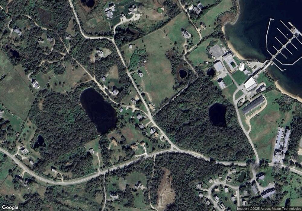
Map
Nearby Homes
- 0 Coast Guard Rd
- 1210 Graces Cove Rd
- 1501 Beacon Hill Rd
- 1557 W Side Rd
- 1743 Corn Neck Rd
- 1713 Corn Neck Rd
- 1720 Corn Neck Rd
- 481 Old Town Rd
- 1596 W Side Rd
- 256 High St
- 1087 Lakeside Dr
- 721 Corn Neck Rd
- 1289 High St
- 1078 W Beach Rd
- 194 Pilot Hill Rd
- 1661 Sand Pond Rd
- 1328 Cooneymus Rd
- 0 Snake Hole Rd
- 1448 Mohegan Trail
- 0 Pilot Hill Rd
- 913 Coast Guard Rd
- 919 Coast Guard Rd
- 1198 Coast Guard Rd
- 1523 Coast Guard Rd
- 907 Coast Guard Rd
- 905 Coast Guard Rd
- 1067 Coast Guard Rd
- 839 W Side Rd
- 1049 Coast Guard Rd
- 1199 Coast Guard Rd
- 1135 Coast Guard Rd
- 1101 W Side Rd
- 1943 Coast Guard Rd
- 1917 Coast Guard Rd
- 0 Off Coast Guard Rd Unit 1246515
- 915 Coast Guard Rd
- 840 W Side Rd
- 1512 West Unit Road
- 0 Plat 18 Lot 4-1 West Side Rd
- 1512 W Side Rd