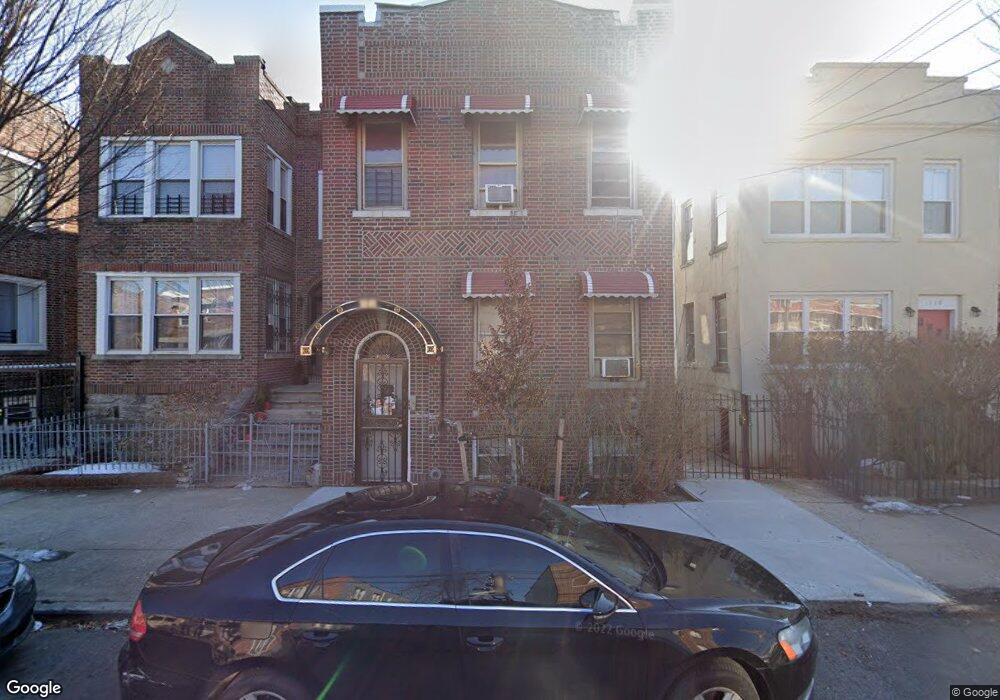
912 E 226th St Bronx, NY 10466
Wakefield NeighborhoodEstimated Value: $682,910 - $1,008,000
Studio
--
Bath
2,680
Sq Ft
$308/Sq Ft
Est. Value
About This Home
This home is located at 912 E 226th St, Bronx, NY 10466 and is currently estimated at $825,978, approximately $308 per square foot. 912 E 226th St is a home located in Bronx County with nearby schools including Ps 21 Philip H Sheridan, North Bronx School of Empowerment, and Faith Christian Academy.
Ownership History
Date
Name
Owned For
Owner Type
Purchase Details
Closed on
Apr 15, 2019
Sold by
Blake Pauline
Bought by
Tai Realty Management Llc
Current Estimated Value
Purchase Details
Closed on
Oct 20, 2003
Sold by
Malliet Winston
Bought by
Blake Pauline
Home Financials for this Owner
Home Financials are based on the most recent Mortgage that was taken out on this home.
Original Mortgage
$247,200
Interest Rate
5.6%
Mortgage Type
Purchase Money Mortgage
Create a Home Valuation Report for This Property
The Home Valuation Report is an in-depth analysis detailing your home's value as well as a comparison with similar homes in the area
Home Values in the Area
Average Home Value in this Area
Purchase History
| Date | Buyer | Sale Price | Title Company |
|---|---|---|---|
| Tai Realty Management Llc | -- | -- | |
| Blake Pauline | $309,000 | -- |
Source: Public Records
Mortgage History
| Date | Status | Borrower | Loan Amount |
|---|---|---|---|
| Previous Owner | Blake Pauline | $247,200 | |
| Closed | Blake Pauline | $46,350 |
Source: Public Records
Tax History
| Year | Tax Paid | Tax Assessment Tax Assessment Total Assessment is a certain percentage of the fair market value that is determined by local assessors to be the total taxable value of land and additions on the property. | Land | Improvement |
|---|---|---|---|---|
| 2025 | $7,410 | $36,893 | $5,418 | $31,475 |
| 2024 | $7,410 | $36,893 | $5,720 | $31,173 |
| 2023 | $7,238 | $35,641 | $5,246 | $30,395 |
| 2022 | $6,712 | $46,920 | $7,860 | $39,060 |
| 2021 | $6,858 | $47,820 | $7,860 | $39,960 |
| 2020 | $6,508 | $45,660 | $7,860 | $37,800 |
| 2019 | $6,431 | $43,920 | $7,860 | $36,060 |
| 2018 | $6,055 | $29,701 | $7,259 | $22,442 |
| 2017 | $5,712 | $28,020 | $7,860 | $20,160 |
| 2016 | $5,429 | $27,157 | $6,725 | $20,432 |
| 2015 | $3,529 | $25,620 | $8,760 | $16,860 |
| 2014 | $3,529 | $25,620 | $8,760 | $16,860 |
Source: Public Records
Map
Nearby Homes
- 967 E 225th St
- 965 E 226th St
- 938 E 228th St
- 3957 Paulding Ave
- 4042 Bronxwood Ave
- 870 E 228th St
- 838 E 226th St
- 945 E 228th St
- 1012 E 225th St
- 4026 Paulding Ave
- 1024 E 226th St
- 4059 Paulding Ave
- 915 E 222nd St
- 1023 E 224th St
- 945 E 222nd St
- 839 E 228th St
- 4101 Paulding Ave
- 836 E 229th St
- 1038 E 224th St
- 1019 E 228th St
- 916 E 226th St
- 910 E 226th St
- 918 E 226th St
- 3990 Bronxwood Ave
- 3990-4000 Bronxwood Ave
- 920 E 226th St
- 920 E 226 St
- 3988 Bronxwood Ave
- 3988 Bronxwood Ave
- 3984 Bronxwood Ave
- 3986 Bronxwood Ave
- 922 E 226th St
- 919 E 225th St
- 3978 Bronxwood Ave
- 921 E 225th St
- 923 E 225th St
- 3974 Bronxwood Ave
- 924 E 226th St Unit 1
- 924 E 226th St
- 929 E 225th St
Your Personal Tour Guide
Ask me questions while you tour the home.