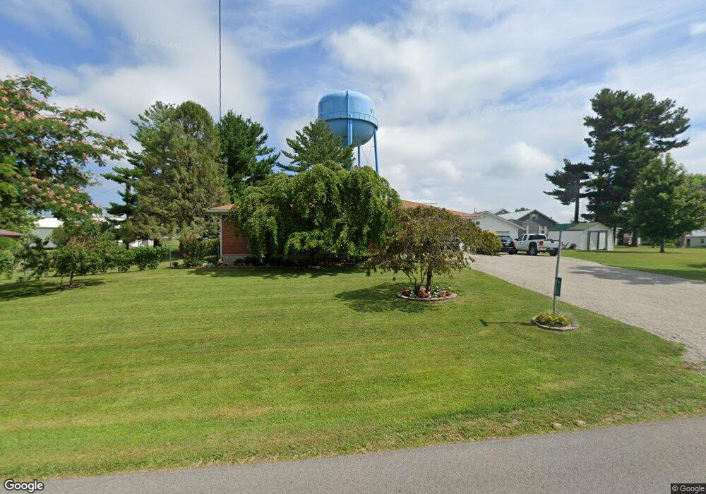
912 E Walnut St West Union, OH 45693
Estimated Value: $182,980 - $202,000
4
Beds
1
Bath
1,521
Sq Ft
$125/Sq Ft
Est. Value
About This Home
This home is located at 912 E Walnut St, West Union, OH 45693 and is currently estimated at $190,745, approximately $125 per square foot. 912 E Walnut St is a home located in Adams County with nearby schools including West Union Elementary School, West Union High School, and Adams County Christian School.
Ownership History
Date
Name
Owned For
Owner Type
Purchase Details
Closed on
Sep 26, 2007
Sold by
Thurman Ronald
Bought by
Freeman James L and Humphreys Teresa
Current Estimated Value
Home Financials for this Owner
Home Financials are based on the most recent Mortgage that was taken out on this home.
Original Mortgage
$40,000
Interest Rate
6.55%
Mortgage Type
New Conventional
Purchase Details
Closed on
May 20, 2003
Sold by
Thurman Helen
Bought by
Thurman Helen
Purchase Details
Closed on
Dec 11, 1996
Bought by
Thurman Helen
Create a Home Valuation Report for This Property
The Home Valuation Report is an in-depth analysis detailing your home's value as well as a comparison with similar homes in the area
Home Values in the Area
Average Home Value in this Area
Purchase History
| Date | Buyer | Sale Price | Title Company |
|---|---|---|---|
| Freeman James L | $34,330 | None Available | |
| Thurman Helen | -- | -- | |
| Thurman Helen | -- | -- |
Source: Public Records
Mortgage History
| Date | Status | Borrower | Loan Amount |
|---|---|---|---|
| Closed | Freeman James L | $40,000 |
Source: Public Records
Tax History
| Year | Tax Paid | Tax Assessment Tax Assessment Total Assessment is a certain percentage of the fair market value that is determined by local assessors to be the total taxable value of land and additions on the property. | Land | Improvement |
|---|---|---|---|---|
| 2025 | $1,181 | $42,040 | $8,330 | $33,710 |
| 2024 | $1,181 | $42,040 | $8,330 | $33,710 |
| 2023 | $1,212 | $42,040 | $8,330 | $33,710 |
| 2022 | $1,119 | $34,030 | $6,340 | $27,690 |
| 2021 | $919 | $34,030 | $6,340 | $27,690 |
| 2020 | $939 | $34,030 | $6,340 | $27,690 |
| 2019 | $939 | $34,030 | $6,340 | $27,690 |
| 2018 | $838 | $30,420 | $6,340 | $24,080 |
| 2017 | $824 | $30,420 | $6,340 | $24,080 |
| 2016 | $823 | $30,420 | $6,340 | $24,080 |
| 2015 | $742 | $28,920 | $6,340 | $22,580 |
| 2014 | $743 | $28,920 | $6,340 | $22,580 |
Source: Public Records
Map
Nearby Homes
- 353 Chestnut Ridge Rd
- 104 N Washington St
- 9727 Ohio 125
- 315 E North St
- 430 Poplar St
- 70 Logans Ln
- 0.8ac State Route 41
- 12196 State Route 41
- 286 & 290 S Market St
- 215 Chesley St
- 305 W Walnut St
- 408 W South St
- 1478 Robinson Hollow Rd
- 917 Logans Ln
- 4400 Chapparal Rd
- 80 Madonna Dr
- 247 Madonna Dr
- Lot 5 Mark Dr
- 4050 Poplar Ridge Rd
- 175 Paula Dr
- 917 E Walnut St
- 905 E Walnut St
- 1005 E Walnut St
- 845 E Walnut St
- 1022 E Walnut St
- 1010 E Walnut St
- 147 Chestnut Ridge Rd
- 81 Chestnut Ridge Rd
- 1015 E Walnut St
- 159 Chestnut Ridge Rd
- 114 Knoll Ave
- 834 E Walnut St
- 121 Knoll Ave
- 171 Chestnut Ridge Rd
- 1030 E Walnut St
- 183 Chestnut Ridge Rd
- 120 Knoll Ave
- 75 Chestnut Ridge Rd
- 1021 E Walnut St
- 890 E Walnut St
Your Personal Tour Guide
Ask me questions while you tour the home.