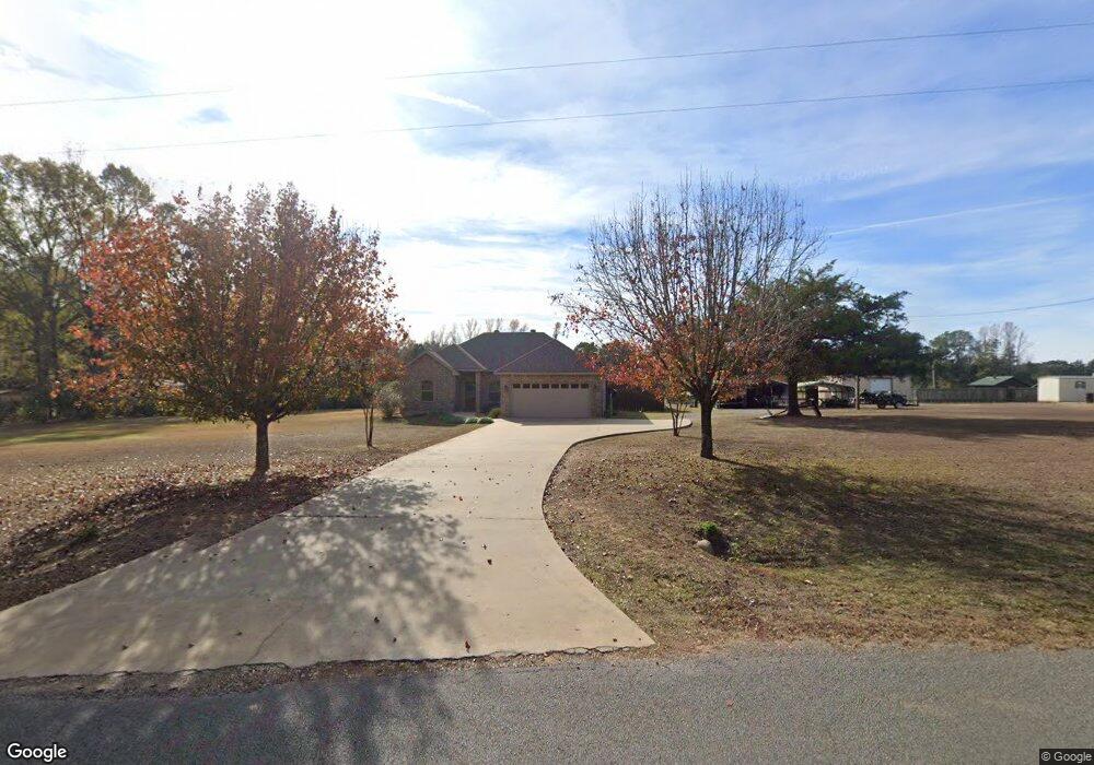
912 Emory Rd Choudrant, LA 71227
Estimated Value: $284,000 - $345,000
Studio
1
Bath
1,558
Sq Ft
$197/Sq Ft
Est. Value
About This Home
This home is located at 912 Emory Rd, Choudrant, LA 71227 and is currently estimated at $307,124, approximately $197 per square foot. 912 Emory Rd is a home located in Lincoln Parish with nearby schools including Choudrant Elementary School, Choudrant High School, and Ruston Junior High School.
Ownership History
Date
Name
Owned For
Owner Type
Purchase Details
Closed on
Oct 11, 2005
Sold by
Bennett Billy G and Bennett Joyce Audrish
Bought by
Bennett Michael Scott
Current Estimated Value
Home Financials for this Owner
Home Financials are based on the most recent Mortgage that was taken out on this home.
Original Mortgage
$55,906
Outstanding Balance
$28,979
Interest Rate
5.65%
Mortgage Type
Purchase Money Mortgage
Estimated Equity
$278,145
Create a Home Valuation Report for This Property
The Home Valuation Report is an in-depth analysis detailing your home's value as well as a comparison with similar homes in the area
Purchase History
| Date | Buyer | Sale Price | Title Company |
|---|---|---|---|
| Bennett Michael Scott | $20,000 | None Available |
Source: Public Records
Mortgage History
| Date | Status | Borrower | Loan Amount |
|---|---|---|---|
| Open | Bennett Michael Scott | $55,906 |
Source: Public Records
Tax History
| Year | Tax Paid | Tax Assessment Tax Assessment Total Assessment is a certain percentage of the fair market value that is determined by local assessors to be the total taxable value of land and additions on the property. | Land | Improvement |
|---|---|---|---|---|
| 2025 | $1,893 | $23,571 | $1,700 | $21,871 |
| 2024 | $1,893 | $23,571 | $1,700 | $21,871 |
| 2023 | $1,704 | $20,307 | $1,839 | $18,468 |
| 2022 | $1,693 | $20,307 | $1,839 | $18,468 |
| 2021 | $1,667 | $20,307 | $1,839 | $18,468 |
| 2020 | $1,511 | $18,292 | $1,839 | $16,453 |
| 2019 | $1,588 | $18,985 | $1,839 | $17,146 |
| 2018 | $1,589 | $18,985 | $1,839 | $17,146 |
| 2017 | $1,593 | $18,985 | $1,839 | $17,146 |
| 2016 | $1,625 | $0 | $0 | $0 |
| 2015 | $1,512 | $16,287 | $1,591 | $14,696 |
| 2013 | $491 | $4,672 | $1,591 | $3,081 |
Source: Public Records
Map
Nearby Homes
- 00 Par Road 43
- 219 Lamar Rd
- 510 Louisiana 556
- 106 Tes Dr
- 165 Loblolly Ln
- 116 Par Road 48
- 190 Loring Bend
- 120 Lanes End Dr
- 448 Loblolly Ln
- 500 Hogan Rd
- 283 Crocker Rd
- 0 Par Road 41
- Street Address Par Road 48
- 00 Cheatwood Rd
- 0 Bradford Rd
- 634 Cheatwood Rd
- 0 Spillers Rd
- 120 Douglas Ln
- 1094 Roach Rd
- 1950 Louisiana 821
Your Personal Tour Guide
Ask me questions while you tour the home.