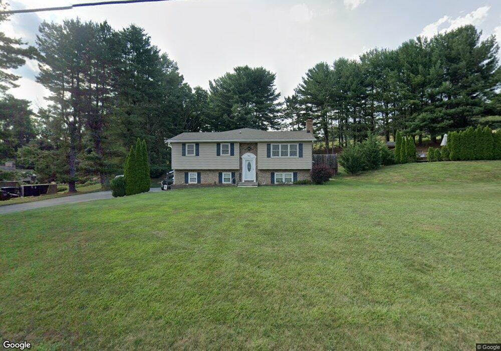
912 Hobart Rd Hanover, PA 17331
Estimated Value: $335,000 - $424,000
3
Beds
2
Baths
2,002
Sq Ft
$188/Sq Ft
Est. Value
About This Home
This home is located at 912 Hobart Rd, Hanover, PA 17331 and is currently estimated at $376,543, approximately $188 per square foot. 912 Hobart Rd is a home located in York County with nearby schools including South Western Senior High School.
Ownership History
Date
Name
Owned For
Owner Type
Purchase Details
Closed on
Aug 28, 2009
Sold by
Gilbert Samuel G and Gilbert Diane L
Bought by
Weiss Michael J and Weiss Melissa M
Current Estimated Value
Home Financials for this Owner
Home Financials are based on the most recent Mortgage that was taken out on this home.
Original Mortgage
$191,920
Outstanding Balance
$125,642
Interest Rate
5.21%
Mortgage Type
New Conventional
Estimated Equity
$250,901
Purchase Details
Closed on
Nov 12, 1985
Bought by
Gilbert Samuel G and Gilbert Diane L
Create a Home Valuation Report for This Property
The Home Valuation Report is an in-depth analysis detailing your home's value as well as a comparison with similar homes in the area
Home Values in the Area
Average Home Value in this Area
Purchase History
| Date | Buyer | Sale Price | Title Company |
|---|---|---|---|
| Weiss Michael J | $239,900 | None Available | |
| Gilbert Samuel G | $64,000 | -- |
Source: Public Records
Mortgage History
| Date | Status | Borrower | Loan Amount |
|---|---|---|---|
| Open | Weiss Michael J | $191,920 |
Source: Public Records
Tax History Compared to Growth
Tax History
| Year | Tax Paid | Tax Assessment Tax Assessment Total Assessment is a certain percentage of the fair market value that is determined by local assessors to be the total taxable value of land and additions on the property. | Land | Improvement |
|---|---|---|---|---|
| 2025 | $5,517 | $165,180 | $52,300 | $112,880 |
| 2024 | $5,517 | $165,180 | $52,300 | $112,880 |
| 2023 | $5,418 | $165,180 | $52,300 | $112,880 |
| 2022 | $5,334 | $165,180 | $52,300 | $112,880 |
| 2021 | $5,091 | $165,180 | $52,300 | $112,880 |
| 2020 | $5,091 | $165,180 | $52,300 | $112,880 |
| 2019 | $4,993 | $165,180 | $52,300 | $112,880 |
| 2018 | $4,911 | $165,180 | $52,300 | $112,880 |
| 2017 | $4,815 | $165,180 | $52,300 | $112,880 |
| 2016 | $0 | $165,180 | $52,300 | $112,880 |
| 2015 | -- | $161,780 | $52,300 | $109,480 |
| 2014 | -- | $161,780 | $52,300 | $109,480 |
Source: Public Records
Map
Nearby Homes
- 890 Hobart Rd
- 1075 Hobart Rd
- 3486 Hobart Rd
- 347 Steeple View Dr Unit 11
- 310 Steeple View Dr Unit 18
- 5566 Blue Hill Rd
- 2394 Black Rock Rd
- 12 Roman Ln
- 3757 Baltimore Pike
- 4073 Landis Rd
- 626 Ledger Dr
- 2502 Mount Ventus No 1 Rd
- 2861 Baltimore Pike
- 262 Holstein Dr Unit 93
- 7734 Blue Hill Rd
- 2395 Rd
- 229 Holstein Dr Unit 111
- 155 Holstein Dr
- 49 Valley View Dr
- 16 Angus Dr