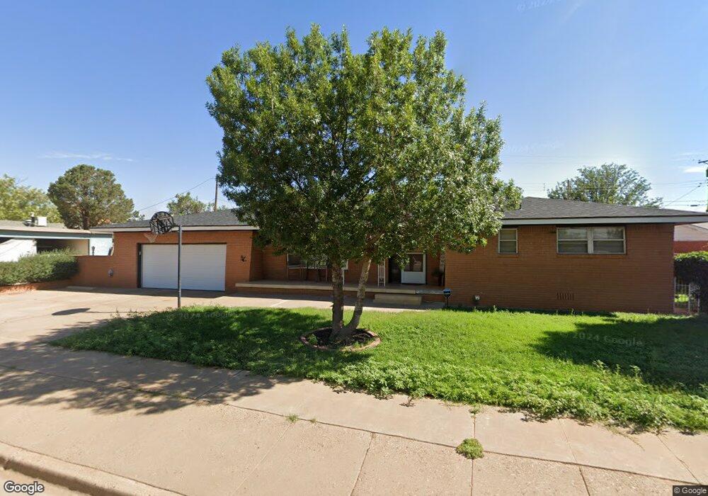
912 John Doe St Clovis, NM 88101
Estimated Value: $161,000 - $204,160
3
Beds
3
Baths
2,125
Sq Ft
$86/Sq Ft
Est. Value
About This Home
This home is located at 912 John Doe St, Clovis, NM 88101 and is currently estimated at $183,540, approximately $86 per square foot. 912 John Doe St is a home located in Curry County with nearby schools including Sandia Elementary School, Marshall Middle School, and Clovis High School.
Ownership History
Date
Name
Owned For
Owner Type
Purchase Details
Closed on
Nov 4, 2021
Sold by
Samora Glena
Bought by
Kress Pierce C
Current Estimated Value
Home Financials for this Owner
Home Financials are based on the most recent Mortgage that was taken out on this home.
Original Mortgage
$162,011
Outstanding Balance
$148,001
Interest Rate
3.07%
Mortgage Type
Construction
Estimated Equity
$35,539
Create a Home Valuation Report for This Property
The Home Valuation Report is an in-depth analysis detailing your home's value as well as a comparison with similar homes in the area
Purchase History
| Date | Buyer | Sale Price | Title Company |
|---|---|---|---|
| Kress Pierce C | $163,631 | First American |
Source: Public Records
Mortgage History
| Date | Status | Borrower | Loan Amount |
|---|---|---|---|
| Open | Kress Pierce C | $162,011 |
Source: Public Records
Tax History
| Year | Tax Paid | Tax Assessment Tax Assessment Total Assessment is a certain percentage of the fair market value that is determined by local assessors to be the total taxable value of land and additions on the property. | Land | Improvement |
|---|---|---|---|---|
| 2025 | $1,516 | $60,002 | $2,958 | $57,044 |
| 2024 | $1,516 | $58,341 | $2,958 | $55,383 |
| 2023 | $1,462 | $56,728 | $2,958 | $53,770 |
| 2022 | $1,390 | $55,162 | $2,958 | $52,204 |
| 2021 | $1,263 | $53,642 | $2,958 | $50,684 |
| 2020 | $1,275 | $53,799 | $2,958 | $50,841 |
| 2019 | $1,247 | $52,776 | $2,958 | $49,818 |
| 2018 | $1,205 | $51,325 | $2,958 | $48,367 |
| 2017 | $1,101 | $48,165 | $2,958 | $45,207 |
| 2016 | $1,101 | $47,812 | $2,958 | $44,854 |
| 2015 | $1,198 | $52,459 | $2,958 | $49,501 |
| 2014 | $1,212 | $53,447 | $2,669 | $50,778 |
Source: Public Records
Map
Nearby Homes
- 2301 Duckworth Ave
- 804 Kathie Dr
- 801 W Yucca Ave
- 2604 Duckworth Ave
- 2037 N Hull St
- 716 W 19th St
- 1201 W Yucca Ave
- 321 W Christopher Dr
- 305 Starlite Dr
- 716 W 18th St
- 600 W 20th St
- 216 Rosa Blvd
- 501 W Plains Ave
- 425 W Manana Blvd
- 300 W Yucca Ave
- 213 Manson Dr
- 620 W 17th St
- 125 Columbia Ln
- 1545 Westchester St
- 2905 Virginia Ave
- 908 John Doe St
- 913 Kathie Dr
- 917 Kathie Dr
- 904 John Doe St
- 913 John Doe St
- 917 John Doe St
- 905 Kathie Dr
- 909 John Doe St
- 921 John Doe St
- 900 John Doe St
- 905 John Doe St
- 901 Kathie Dr
- 901 John Doe St
- 1008 Kathie Dr
- 824 John Doe St
- 1004 Kathie Dr
- 916 Kathie Dr
- 1000 Kathie Dr
- 1012 Kathie Dr
- 920 Kathie Dr
Your Personal Tour Guide
Ask me questions while you tour the home.