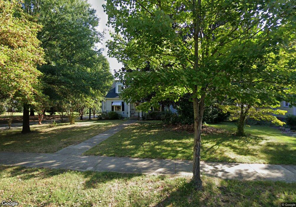
912 Johnson St High Point, NC 27262
Greater High Point NeighborhoodEstimated Value: $176,000 - $227,466
3
Beds
2
Baths
1,180
Sq Ft
$173/Sq Ft
Est. Value
About This Home
This home is located at 912 Johnson St, High Point, NC 27262 and is currently estimated at $204,367, approximately $173 per square foot. 912 Johnson St is a home located in Guilford County with nearby schools including Northwood Elementary School, Ferndale Middle School, and High Point Central High School.
Ownership History
Date
Name
Owned For
Owner Type
Purchase Details
Closed on
Apr 21, 2005
Sold by
Rodden John Edward and Rodden Ashley Renee Roach
Bought by
Connors Michael G and Connors Jo Ellen
Current Estimated Value
Home Financials for this Owner
Home Financials are based on the most recent Mortgage that was taken out on this home.
Original Mortgage
$118,200
Outstanding Balance
$60,877
Interest Rate
5.75%
Mortgage Type
Fannie Mae Freddie Mac
Estimated Equity
$143,490
Purchase Details
Closed on
Jun 20, 1998
Sold by
Rodden John Edward and Rodden Ashley Renee Roach
Bought by
Rodden John Edward and Rodden Ashley Renee Roach
Home Financials for this Owner
Home Financials are based on the most recent Mortgage that was taken out on this home.
Original Mortgage
$75,300
Interest Rate
7.11%
Mortgage Type
Purchase Money Mortgage
Create a Home Valuation Report for This Property
The Home Valuation Report is an in-depth analysis detailing your home's value as well as a comparison with similar homes in the area
Home Values in the Area
Average Home Value in this Area
Purchase History
| Date | Buyer | Sale Price | Title Company |
|---|---|---|---|
| Connors Michael G | $124,500 | -- | |
| Rodden John Edward | -- | -- |
Source: Public Records
Mortgage History
| Date | Status | Borrower | Loan Amount |
|---|---|---|---|
| Open | Connors Michael G | $118,200 | |
| Previous Owner | Rodden John Edward | $75,300 |
Source: Public Records
Tax History
| Year | Tax Paid | Tax Assessment Tax Assessment Total Assessment is a certain percentage of the fair market value that is determined by local assessors to be the total taxable value of land and additions on the property. | Land | Improvement |
|---|---|---|---|---|
| 2025 | $1,637 | $118,800 | $40,000 | $78,800 |
| 2024 | $1,637 | $118,800 | $40,000 | $78,800 |
| 2023 | $1,637 | $118,800 | $40,000 | $78,800 |
| 2022 | $1,601 | $118,800 | $40,000 | $78,800 |
| 2021 | $1,357 | $98,500 | $35,000 | $63,500 |
| 2020 | $1,357 | $98,500 | $35,000 | $63,500 |
| 2019 | $1,357 | $98,500 | $0 | $0 |
| 2018 | $1,351 | $98,500 | $0 | $0 |
| 2017 | $1,351 | $98,500 | $0 | $0 |
| 2016 | $1,149 | $81,900 | $0 | $0 |
| 2015 | $1,155 | $81,900 | $0 | $0 |
| 2014 | $1,174 | $81,900 | $0 | $0 |
Source: Public Records
Map
Nearby Homes
- 304 Louise Ave
- 511 E Farriss Ave
- 207 Hillcrest Dr
- 1310 Madison St
- 610 Colonial Dr
- 705 Delmont St
- 719 Forrest St
- 721 Forrest St
- 1113 Clyde Place
- 630 Colonial Dr
- 509 Woodrow Ave
- 1433 Larkin St
- 1311 Prescott Place
- 702 E Farriss Ave
- 949 Council St
- 916 Forrest St
- 1507 Larkin St
- 510 Otteray Ave
- 1602 Larkin St
- 1700 Long St
- 910 Johnson St
- 908 Johnson St
- 911 Johnson St
- 911 N Hamilton St
- 210 Louise Ave
- 1002 Johnson St
- 906 Johnson St
- 909 Johnson St
- 1001 Johnson St
- 909 N Hamilton St
- 209 Louise Ave
- 1003 Johnson St
- 907 N Hamilton St
- 907 Johnson St
- 211 Louise Ave
- 1004 Johnson St
- 905 N Hamilton St
- 902 Johnson St
- 1005 Johnson St
- 905 Johnson St
Your Personal Tour Guide
Ask me questions while you tour the home.