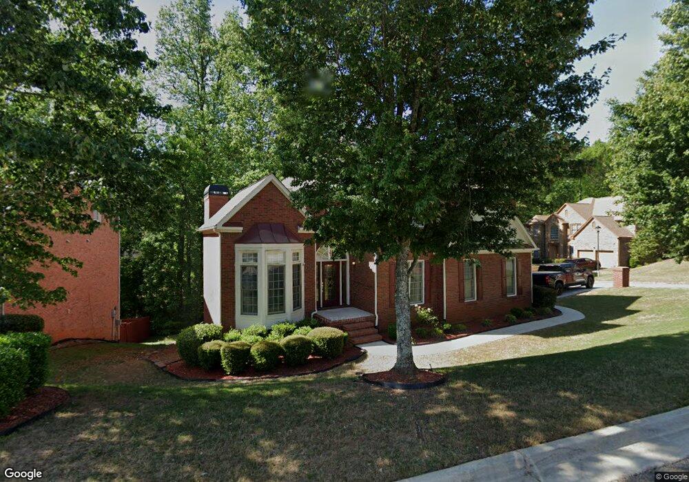
912 Linsley Way Unit 5 Stone Mountain, GA 30087
Estimated Value: $373,864 - $436,000
4
Beds
4
Baths
2,767
Sq Ft
$143/Sq Ft
Est. Value
About This Home
This home is located at 912 Linsley Way Unit 5, Stone Mountain, GA 30087 and is currently estimated at $395,966, approximately $143 per square foot. 912 Linsley Way Unit 5 is a home located in DeKalb County with nearby schools including Shadow Rock Elementary School, Redan Middle School, and Redan High School.
Ownership History
Date
Name
Owned For
Owner Type
Purchase Details
Closed on
Jun 21, 2002
Sold by
Ryland Grp Inc
Bought by
Hall Harold J and Hall Obelia
Current Estimated Value
Home Financials for this Owner
Home Financials are based on the most recent Mortgage that was taken out on this home.
Original Mortgage
$219,600
Outstanding Balance
$92,720
Interest Rate
6.79%
Mortgage Type
New Conventional
Estimated Equity
$303,246
Create a Home Valuation Report for This Property
The Home Valuation Report is an in-depth analysis detailing your home's value as well as a comparison with similar homes in the area
Home Values in the Area
Average Home Value in this Area
Purchase History
| Date | Buyer | Sale Price | Title Company |
|---|---|---|---|
| Hall Harold J | $274,500 | -- |
Source: Public Records
Mortgage History
| Date | Status | Borrower | Loan Amount |
|---|---|---|---|
| Open | Hall Harold J | $219,600 |
Source: Public Records
Tax History Compared to Growth
Tax History
| Year | Tax Paid | Tax Assessment Tax Assessment Total Assessment is a certain percentage of the fair market value that is determined by local assessors to be the total taxable value of land and additions on the property. | Land | Improvement |
|---|---|---|---|---|
| 2025 | $4,014 | $144,040 | $18,960 | $125,080 |
| 2024 | $4,490 | $153,760 | $18,960 | $134,800 |
| 2023 | $4,490 | $153,120 | $18,960 | $134,160 |
| 2022 | $4,037 | $135,960 | $18,960 | $117,000 |
| 2021 | $3,385 | $107,720 | $18,960 | $88,760 |
| 2020 | $3,351 | $106,040 | $18,960 | $87,080 |
| 2019 | $3,191 | $100,440 | $18,960 | $81,480 |
| 2018 | $2,846 | $97,160 | $18,960 | $78,200 |
| 2017 | $2,975 | $86,600 | $18,960 | $67,640 |
| 2016 | $2,824 | $83,240 | $18,960 | $64,280 |
| 2014 | $2,501 | $74,440 | $18,960 | $55,480 |
Source: Public Records
Map
Nearby Homes
- 6247 Greenock Dr Unit 5
- 6220 Pattillo Way
- 491 Shadow Valley Ct
- 751 Trigg Lake Ct
- 725 Navarre Dr
- 621 Lakewater View Dr Unit 1
- 1075 Falkirk Ln
- 6251 Southland Forest Dr
- 663 Lakes Cir
- 579 Shadow Lake Dr
- 641 Olde Ivy Way
- 644 Navarre Dr Unit 4
- 5862 Simone Dr
- 6212 Lake Valley Point
- 607 Shadow Valley Ct
- 6588 Norcliffe Dr
- 556 Antietam Dr Unit 8
- 6373 Shadow Square
- 1117 Falkirk Ln
- 6393 Shadow Square
- 9977 Linsley Way
- 6507 Cheval Ct
- 6513 Cheval Ct Unit 5
- 921 Linsley Way Unit 5
- 913 Linsley Way Unit 5
- 938 Brighton Crest Cir
- 6267 Branch Brook Way Unit 5
- 6255 Branch Brook Way Unit 5
- 946 Brighton Crest Cir
- 932 Brighton Crest Cir
- 6216 Greenock Dr
- 931 Linsley Way Unit 5
- 6249 Branch Brook Way
- 954 Brighton Crest Cir Unit 5
- 6271 Branch Brook Way Unit 5
- 6523 Cheval Ct
- 6522 Cheval Ct Unit 5
- 6260 Branch Brook Way Unit 5
- 6266 Branch Brook Way Unit 5
- 947 Brighton Crest Cir