Estimated Value: $305,813 - $348,000
3
Beds
2
Baths
1,679
Sq Ft
$193/Sq Ft
Est. Value
About This Home
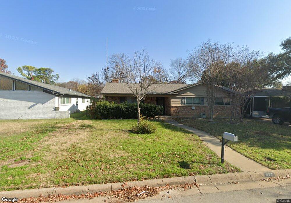
This home is located at 912 Livingston Dr, Hurst, TX 76053 and is currently estimated at $324,453, approximately $193 per square foot. 912 Livingston Dr is a home located in Tarrant County with nearby schools including Donna Park Elementary, Bedford Junior High School, and L.D. Bell High School.
Ownership History
Date
Name
Owned For
Owner Type
Purchase Details
Closed on
Jan 25, 1999
Sold by
Lane Linda Louise Watkins and Lane Jerry
Bought by
Hopp James J
Current Estimated Value
Home Financials for this Owner
Home Financials are based on the most recent Mortgage that was taken out on this home.
Original Mortgage
$73,235
Outstanding Balance
$17,215
Interest Rate
6.66%
Estimated Equity
$307,238
Create a Home Valuation Report for This Property
The Home Valuation Report is an in-depth analysis detailing your home's value as well as a comparison with similar homes in the area
Home Values in the Area
Average Home Value in this Area
Purchase History
| Date | Buyer | Sale Price | Title Company |
|---|---|---|---|
| Hopp James J | -- | American Title Co |
Source: Public Records
Mortgage History
| Date | Status | Borrower | Loan Amount |
|---|---|---|---|
| Open | Hopp James J | $73,235 |
Source: Public Records
Tax History Compared to Growth
Tax History
| Year | Tax Paid | Tax Assessment Tax Assessment Total Assessment is a certain percentage of the fair market value that is determined by local assessors to be the total taxable value of land and additions on the property. | Land | Improvement |
|---|---|---|---|---|
| 2025 | $5,796 | $283,766 | $50,400 | $233,366 |
| 2024 | $5,796 | $283,766 | $50,400 | $233,366 |
| 2023 | $5,227 | $260,889 | $42,000 | $218,889 |
| 2022 | $6,180 | $268,395 | $42,000 | $226,395 |
| 2021 | $5,323 | $220,710 | $45,000 | $175,710 |
| 2020 | $4,060 | $168,767 | $45,000 | $123,767 |
| 2019 | $4,102 | $167,600 | $45,000 | $122,600 |
| 2018 | $4,098 | $167,427 | $20,000 | $147,427 |
| 2017 | $3,984 | $157,430 | $20,000 | $137,430 |
| 2016 | $3,497 | $138,188 | $20,000 | $118,188 |
| 2015 | $2,405 | $91,700 | $17,000 | $74,700 |
| 2014 | $2,405 | $91,700 | $17,000 | $74,700 |
Source: Public Records
Map
Nearby Homes
- 1001 Livingston Dr
- 916 Zelda Dr
- 1016 Billie Ruth Ln
- 913 Zelda Dr
- 833 W Cheryl Ave
- 829 Joanna Dr
- 1108 Billie Ruth Ln
- 649 Timberline Dr
- 820 Bedford Ct W
- 853 Royal Terrace
- 1204 Princess Ln
- 713 Edgehill Dr
- 1218 Wooded Trail
- 1220 Woodland Park Dr
- 1230 Woodland Park Dr
- 1230 Wooded Trail
- 512 Billie Ruth Ln
- 632 Melbourne Ct
- 632 Forest Ln
- 849 Wheelwood Dr
- 916 Livingston Dr
- 908 Livingston Dr
- 913 Irwin Dr
- 909 Irwin Dr
- 1001 Irwin Dr
- 920 Livingston Dr
- 904 Livingston Dr
- 913 Livingston Dr
- 917 Livingston Dr
- 905 Irwin Dr
- 1005 Irwin Dr
- 909 Livingston Dr
- 921 Livingston Dr
- 924 Livingston Dr
- 924 Livingston Dr
- 900 Livingston Dr
- 901 Irwin Dr
- 905 Livingston Dr
- 925 Livingston Dr
- 1009 Irwin Dr