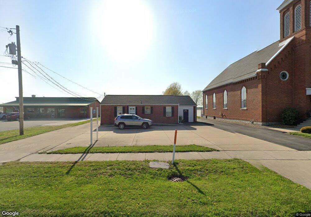
912 N Main St Brighton, IL 62012
Estimated Value: $98,000 - $169,000
2
Beds
1
Bath
908
Sq Ft
$139/Sq Ft
Est. Value
About This Home
This home is located at 912 N Main St, Brighton, IL 62012 and is currently estimated at $125,789, approximately $138 per square foot. 912 N Main St is a home located in Macoupin County with nearby schools including Southwestern High School.
Ownership History
Date
Name
Owned For
Owner Type
Purchase Details
Closed on
Mar 16, 2015
Sold by
Huebner William F and Huebner Daniel J
Bought by
Sivia Properties Llc
Current Estimated Value
Home Financials for this Owner
Home Financials are based on the most recent Mortgage that was taken out on this home.
Original Mortgage
$112,000
Outstanding Balance
$86,782
Interest Rate
4%
Mortgage Type
New Conventional
Estimated Equity
$39,007
Purchase Details
Closed on
Sep 19, 2005
Bought by
Huebener William F and Huebener Daniel J
Create a Home Valuation Report for This Property
The Home Valuation Report is an in-depth analysis detailing your home's value as well as a comparison with similar homes in the area
Home Values in the Area
Average Home Value in this Area
Purchase History
| Date | Buyer | Sale Price | Title Company |
|---|---|---|---|
| Sivia Properties Llc | $67,000 | Midwest Title & Escrow | |
| Huebener William F | $89,000 | -- |
Source: Public Records
Mortgage History
| Date | Status | Borrower | Loan Amount |
|---|---|---|---|
| Open | Sivia Properties Llc | $112,000 |
Source: Public Records
Tax History Compared to Growth
Tax History
| Year | Tax Paid | Tax Assessment Tax Assessment Total Assessment is a certain percentage of the fair market value that is determined by local assessors to be the total taxable value of land and additions on the property. | Land | Improvement |
|---|---|---|---|---|
| 2024 | $2,322 | $34,128 | $4,499 | $29,629 |
| 2023 | $2,288 | $31,600 | $4,166 | $27,434 |
| 2022 | $2,271 | $29,532 | $3,893 | $25,639 |
| 2021 | $2,156 | $27,600 | $3,638 | $23,962 |
| 2020 | $2,145 | $27,059 | $3,567 | $23,492 |
| 2019 | $2,107 | $25,527 | $3,365 | $22,162 |
| 2018 | $2,075 | $25,527 | $3,365 | $22,162 |
| 2017 | $1,779 | $23,947 | $3,157 | $20,790 |
| 2016 | $2,001 | $23,947 | $3,157 | $20,790 |
| 2015 | $1,538 | $23,947 | $3,157 | $20,790 |
| 2014 | $1,464 | $23,947 | $3,157 | $20,790 |
| 2013 | -- | $23,947 | $3,157 | $20,790 |
Source: Public Records
Map
Nearby Homes
- 515 Mobile St
- 207 W Vine St
- 212 North St
- 120 E Center St
- 102 Park St
- 619 S Main St
- 0 W County Line Rd Unit MAR25022086
- 0 W County Line Rd Unit MAR25004991
- 0 W County Line Rd Unit MAR25004989
- 0 W County Line Rd Unit MAR25004981
- 0 W County Line Rd Unit MAR25004974
- 1850 W County Line Rd
- Tbd County Line Rd
- Tbd County Line Rd
- Tbd County Line Rd
- Tbd County Line Rd
- 0 Irish Ln
- 16512 Oak Bridge Rd
- 33391 Crystal Lake Rd
- David Ln