912 S 290 W Unit 807 American Fork, UT 84003
Estimated Value: $557,000 - $612,000
4
Beds
3
Baths
2,950
Sq Ft
$196/Sq Ft
Est. Value
About This Home
This home is located at 912 S 290 W Unit 807, American Fork, UT 84003 and is currently estimated at $576,931, approximately $195 per square foot. 912 S 290 W Unit 807 is a home located in Utah County with nearby schools including Greenwood Elementary School, American Fork Junior High School, and American Fork High School.
Ownership History
Date
Name
Owned For
Owner Type
Purchase Details
Closed on
Feb 17, 2015
Sold by
Harrison Gregory Brent and Ludwig Harrison Tammy Sue
Bought by
Little Tyler Jameson
Current Estimated Value
Home Financials for this Owner
Home Financials are based on the most recent Mortgage that was taken out on this home.
Original Mortgage
$213,100
Outstanding Balance
$162,614
Interest Rate
3.66%
Mortgage Type
New Conventional
Estimated Equity
$414,317
Create a Home Valuation Report for This Property
The Home Valuation Report is an in-depth analysis detailing your home's value as well as a comparison with similar homes in the area
Home Values in the Area
Average Home Value in this Area
Purchase History
| Date | Buyer | Sale Price | Title Company |
|---|---|---|---|
| Little Tyler Jameson | -- | Greenbrier Title Ins Ag |
Source: Public Records
Mortgage History
| Date | Status | Borrower | Loan Amount |
|---|---|---|---|
| Open | Little Tyler Jameson | $213,100 |
Source: Public Records
Tax History Compared to Growth
Tax History
| Year | Tax Paid | Tax Assessment Tax Assessment Total Assessment is a certain percentage of the fair market value that is determined by local assessors to be the total taxable value of land and additions on the property. | Land | Improvement |
|---|---|---|---|---|
| 2025 | $2,335 | $291,060 | $241,100 | $288,100 |
| 2024 | $2,335 | $259,490 | $0 | $0 |
| 2023 | $2,155 | $253,880 | $0 | $0 |
| 2022 | $2,276 | $264,605 | $0 | $0 |
| 2021 | $1,878 | $341,000 | $151,400 | $189,600 |
| 2020 | $1,765 | $310,800 | $135,200 | $175,600 |
| 2019 | $1,685 | $306,900 | $131,500 | $175,400 |
| 2018 | $1,568 | $273,000 | $120,500 | $152,500 |
| 2017 | $1,396 | $131,175 | $0 | $0 |
| 2016 | $1,388 | $121,220 | $0 | $0 |
| 2015 | $1,408 | $116,655 | $0 | $0 |
| 2014 | $1,403 | $114,675 | $0 | $0 |
Source: Public Records
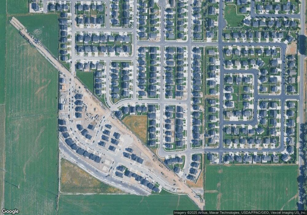
Map
Nearby Homes
- 894 S 370 W
- 856 S 120 W
- 424 S 340 W
- 429 S Storrs Ave
- 412 S 390 W
- 316 W 390 S
- 679 W 1100 S
- 365 W 370 S
- 391 W 370 S
- 697 W 1100 S
- 942 S 750 W
- 728 W 560 S Unit 366
- 733 W 540 S Unit 356
- 368 S Storrs Ct Unit 107
- 907 S 800 W
- 757 W 540 S
- 769 W 540 S Unit 346
- 775 W 540 S Unit 343
- 777 W 540 S Unit 342
- 777 W 540 S
- 918 S 290 W Unit 808
- 315 W 910 S Unit 805
- 908 S 290 W Unit 708
- 919 S 290 W Unit 818
- 905 S 330 W
- 927 S 290 W Unit 817
- 331 W 910 S Unit 803
- 893 S 330 W Unit 620
- 935 S 290 W Unit 816
- 897 S 290 W
- 916 S 250 W Unit 820
- 349 W 910 S Unit 802
- 881 S 330 W
- 906 S 250 W
- 904 S 330 W
- 938 S 250 W Unit 823
- 958 S 290 W Unit 812
- 873 S 330 W Unit 615
- 367 W 910 S Unit 801
- 892 S 330 W