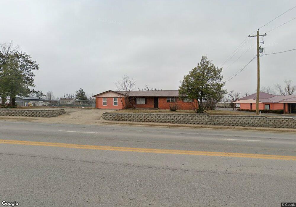
912 S Dixieland Rd Rogers, AR 72758
Estimated Value: $229,549 - $394,000
--
Bed
2
Baths
1,914
Sq Ft
$165/Sq Ft
Est. Value
About This Home
This home is located at 912 S Dixieland Rd, Rogers, AR 72758 and is currently estimated at $316,516, approximately $165 per square foot. 912 S Dixieland Rd is a home located in Benton County with nearby schools including Westside Elementary School, Oakdale Middle School, and Rogers Heritage High School.
Ownership History
Date
Name
Owned For
Owner Type
Purchase Details
Closed on
May 27, 2005
Sold by
Riggs Russell
Bought by
Rogers Free Will Baptist Church
Current Estimated Value
Home Financials for this Owner
Home Financials are based on the most recent Mortgage that was taken out on this home.
Original Mortgage
$65,000
Interest Rate
5.79%
Purchase Details
Closed on
Feb 21, 1993
Bought by
Mcclain
Purchase Details
Closed on
Jul 8, 1987
Bought by
Baptist Church (.10 Ac)
Purchase Details
Closed on
Feb 15, 1987
Bought by
Dod 02-15-1987
Purchase Details
Closed on
Apr 27, 1972
Bought by
Mcclain
Create a Home Valuation Report for This Property
The Home Valuation Report is an in-depth analysis detailing your home's value as well as a comparison with similar homes in the area
Home Values in the Area
Average Home Value in this Area
Purchase History
| Date | Buyer | Sale Price | Title Company |
|---|---|---|---|
| Rogers Free Will Baptist Church | $85,000 | None Available | |
| Mcclain | -- | -- | |
| Baptist Church (.10 Ac) | -- | -- | |
| Dod 02-15-1987 | -- | -- | |
| Mcclain | -- | -- |
Source: Public Records
Mortgage History
| Date | Status | Borrower | Loan Amount |
|---|---|---|---|
| Closed | Rogers Free Will Baptist Church | $65,000 |
Source: Public Records
Tax History Compared to Growth
Tax History
| Year | Tax Paid | Tax Assessment Tax Assessment Total Assessment is a certain percentage of the fair market value that is determined by local assessors to be the total taxable value of land and additions on the property. | Land | Improvement |
|---|---|---|---|---|
| 2025 | -- | -- | -- | -- |
| 2024 | -- | $0 | $0 | $0 |
| 2023 | $0 | $0 | $0 | $0 |
| 2022 | $0 | $0 | $0 | $0 |
| 2021 | $0 | $0 | $0 | $0 |
| 2020 | $81 | $0 | $0 | $0 |
| 2019 | $0 | $0 | $0 | $0 |
| 2018 | $0 | $0 | $0 | $0 |
| 2017 | $0 | $0 | $0 | $0 |
| 2016 | $0 | $0 | $0 | $0 |
| 2015 | -- | $0 | $0 | $0 |
| 2014 | -- | $0 | $0 | $0 |
Source: Public Records
Map
Nearby Homes
- 902 S 17th St
- 910 S 16th St
- 2001 & 2003 W Sycamore St
- 2104 W Oak St
- 917 S 15th St
- 1012 S 19th St
- 2202 W Oak St
- 1807 W Cypress St
- 1501 Countryside Cir
- 1905 W Countryside Ln
- 1903 Countryside Ln
- 930 S 14th St
- 1406 W Pine St
- 825 S 23rd St
- 2308 W Willow St
- 1310 W Pecan St
- 1717 W Poplar St
- 1603 W Poplar St
- 2309 & 2311 W Pecan St
- 1611 S Beth Dr