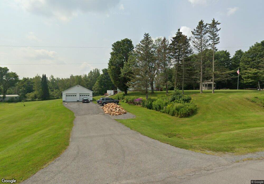
912 State Route 177 Copenhagen, NY 13626
Estimated Value: $159,000 - $253,384
3
Beds
1
Bath
1,200
Sq Ft
$181/Sq Ft
Est. Value
About This Home
This home is located at 912 State Route 177, Copenhagen, NY 13626 and is currently estimated at $217,596, approximately $181 per square foot. 912 State Route 177 is a home with nearby schools including Lowville Elementary School, Lowville Middle School, and Lowville High School.
Ownership History
Date
Name
Owned For
Owner Type
Purchase Details
Closed on
Jun 28, 2010
Sold by
Cannan Jason M
Bought by
Briot Wayne E
Current Estimated Value
Purchase Details
Closed on
Jul 29, 2005
Sold by
Martin Michael
Bought by
Cannan Jason
Home Financials for this Owner
Home Financials are based on the most recent Mortgage that was taken out on this home.
Original Mortgage
$148,015
Interest Rate
5.63%
Mortgage Type
Purchase Money Mortgage
Purchase Details
Closed on
May 17, 2000
Sold by
Putnam Charles W
Bought by
Martin Michael J
Create a Home Valuation Report for This Property
The Home Valuation Report is an in-depth analysis detailing your home's value as well as a comparison with similar homes in the area
Home Values in the Area
Average Home Value in this Area
Purchase History
| Date | Buyer | Sale Price | Title Company |
|---|---|---|---|
| Briot Wayne E | $130,000 | Eugene Renzi | |
| Cannan Jason | $144,900 | -- | |
| Martin Michael J | $61,000 | -- |
Source: Public Records
Mortgage History
| Date | Status | Borrower | Loan Amount |
|---|---|---|---|
| Previous Owner | Cannan Jason | $148,015 |
Source: Public Records
Tax History Compared to Growth
Tax History
| Year | Tax Paid | Tax Assessment Tax Assessment Total Assessment is a certain percentage of the fair market value that is determined by local assessors to be the total taxable value of land and additions on the property. | Land | Improvement |
|---|---|---|---|---|
| 2024 | $4,010 | $169,300 | $23,100 | $146,200 |
| 2023 | $3,935 | $169,300 | $23,100 | $146,200 |
| 2022 | $4,643 | $169,300 | $23,100 | $146,200 |
| 2021 | $4,852 | $164,500 | $17,200 | $147,300 |
| 2020 | $4,446 | $164,500 | $17,200 | $147,300 |
| 2019 | $4,123 | $164,500 | $17,200 | $147,300 |
| 2018 | $4,123 | $164,500 | $17,200 | $147,300 |
| 2017 | $3,912 | $164,500 | $17,200 | $147,300 |
| 2016 | $3,955 | $162,500 | $17,200 | $145,300 |
| 2015 | -- | $162,500 | $17,200 | $145,300 |
| 2014 | -- | $162,500 | $17,200 | $145,300 |
Source: Public Records
Map
Nearby Homes
- 1121 Borland Rd Unit 10
- 1121 Borland Rd
- 7087 Liberty Rd
- 7675 Seven By Nine Rd
- 1803 County Road 194
- 8052 Hayes Rd
- 927 Cronk Rd
- 2107 New York 177
- 672 Pinckney Rd
- 13102 County Route 156 Unit 120
- 25112 County Route 189
- 00 Knapp Rd
- 25301 County Route 93
- 2165 Boshart Rd
- 10163 County Route 95
- 3124 Boshart Rd
- 0 Flat Rock Rd Unit S1642151
- 2448 County Road 194
- 23088 County Route 189
- na Underwood Rd
- 907 State Route 177
- 834 State Route 177
- 8077 Mcgowan Rd
- 824 State Route 177
- 8098 Mcgowan Rd
- 7615 McDonald Rd
- 7539 Lulu Ln
- 7539 Lulu Ln
- 763 State Route 177
- 00 St Rt 177
- 0 State Route 177 Unit S316006
- 0 State Route 177 Unit S316010
- 00 State Route 177
- 0 State Route 177 Unit R1016868
- 0 State Route 177 Unit S1480861
- 0 State Route 177 Unit S1424604
- 0 State Route 177 Unit R1255103
- 758 Nys Hwy 177
- 7591 McDonald Rd
- 8300 Murrock Rd