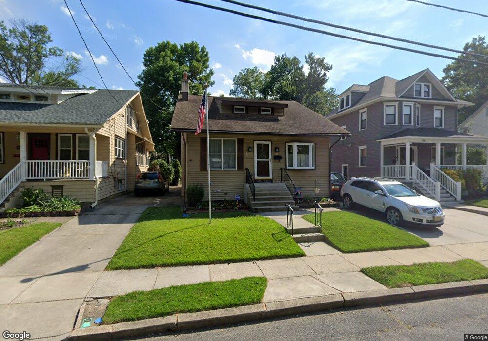
912 Stokes Ave Collingswood, NJ 08108
Estimated Value: $358,516 - $498,000
--
Bed
--
Bath
1,156
Sq Ft
$361/Sq Ft
Est. Value
About This Home
This home is located at 912 Stokes Ave, Collingswood, NJ 08108 and is currently estimated at $417,629, approximately $361 per square foot. 912 Stokes Ave is a home located in Camden County with nearby schools including Zane North Elementary School, Collingswood Middle School, and Collingswood High School.
Ownership History
Date
Name
Owned For
Owner Type
Purchase Details
Closed on
Aug 24, 1998
Sold by
Lassiter Renaye
Bought by
Eisenstein Jonathan S and Note Gail A Van
Current Estimated Value
Home Financials for this Owner
Home Financials are based on the most recent Mortgage that was taken out on this home.
Original Mortgage
$118,750
Outstanding Balance
$24,730
Interest Rate
6.9%
Estimated Equity
$392,899
Create a Home Valuation Report for This Property
The Home Valuation Report is an in-depth analysis detailing your home's value as well as a comparison with similar homes in the area
Home Values in the Area
Average Home Value in this Area
Purchase History
| Date | Buyer | Sale Price | Title Company |
|---|---|---|---|
| Eisenstein Jonathan S | $133,750 | -- |
Source: Public Records
Mortgage History
| Date | Status | Borrower | Loan Amount |
|---|---|---|---|
| Open | Eisenstein Jonathan S | $118,750 |
Source: Public Records
Tax History Compared to Growth
Tax History
| Year | Tax Paid | Tax Assessment Tax Assessment Total Assessment is a certain percentage of the fair market value that is determined by local assessors to be the total taxable value of land and additions on the property. | Land | Improvement |
|---|---|---|---|---|
| 2025 | $8,561 | $448,300 | $203,100 | $245,200 |
| 2024 | $8,435 | $220,700 | $89,100 | $131,600 |
| 2023 | $8,435 | $220,700 | $89,100 | $131,600 |
| 2022 | $8,225 | $220,700 | $89,100 | $131,600 |
| 2021 | $7,582 | $220,700 | $89,100 | $131,600 |
| 2020 | $7,914 | $220,700 | $89,100 | $131,600 |
| 2019 | $7,742 | $220,700 | $89,100 | $131,600 |
| 2018 | $7,667 | $220,700 | $89,100 | $131,600 |
| 2017 | $7,566 | $220,700 | $89,100 | $131,600 |
| 2016 | $7,369 | $220,700 | $89,100 | $131,600 |
| 2015 | $7,151 | $220,700 | $89,100 | $131,600 |
| 2014 | $6,952 | $220,700 | $89,100 | $131,600 |
Source: Public Records
Map
Nearby Homes
- 111 Cooper Ave
- 940 Linwood Ave
- 928 Linwood Ave
- 820 Stokes Ave
- 108 Conard Ave
- 4 W Homestead Ave
- 1108 Stokes Ave
- 994 Haddon Ave
- 869 Haddon Ave
- 108 Dayton Ave
- 17 Lindisfarne Ave
- 109 Frazer Ave
- 268 Buckner Ave
- 30 Lincoln Ave
- 75 E Collings Ave
- 600 N Atlantic Ave Unit 304
- 1 Lakeshore Dr
- 506 Oaklawn Ave
- 740 S Atlantic Ave
- 608 S Atlantic Ave
- 914 Stokes Ave
- 910 Stokes Ave
- 916 Stokes Ave
- 908 Stokes Ave
- 918 Stokes Ave
- 906 Stokes Ave
- 920 Stokes Ave
- 921 Linwood Ave
- 917 Linwood Ave
- 923 Linwood Ave
- 904 Stokes Ave
- 909 Linwood Ave
- 922 Stokes Ave
- 925 Linwood Ave
- 911 Stokes Ave
- 907 Linwood Ave
- 915 Stokes Ave
- 927 Linwood Ave
- 917 Stokes Ave
- 900 Stokes Ave